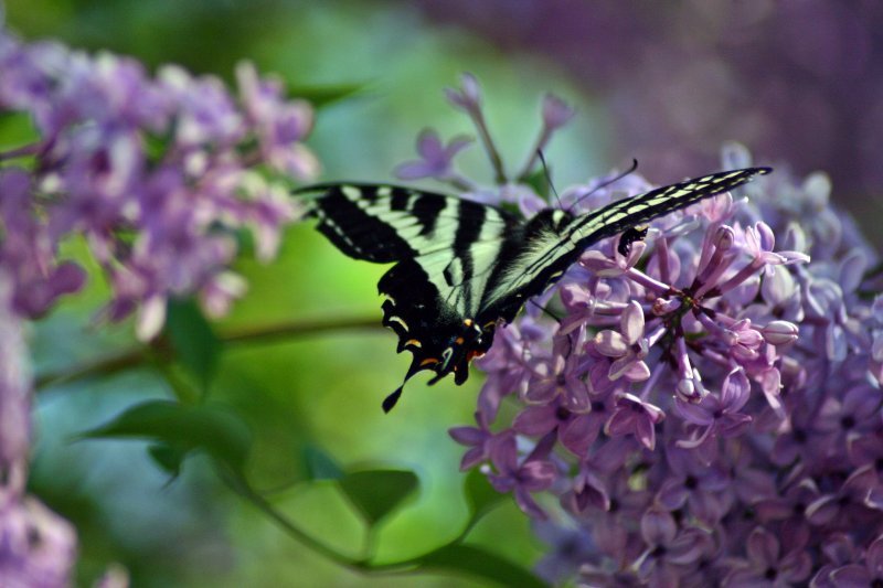
:: Butterflies ::
Butterfly Pics taken at Six Flags Discovery Kingdom and Zepher Cove,Lake Tahoe
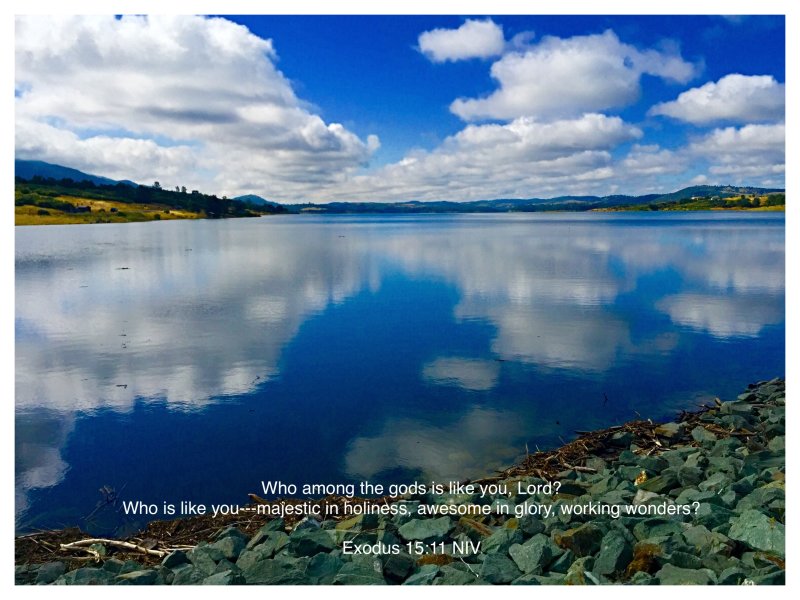
:: God Is Good ::
Discovering God's words for us and our response to Him in prayer...
:: Pictures For The Wall Album ::
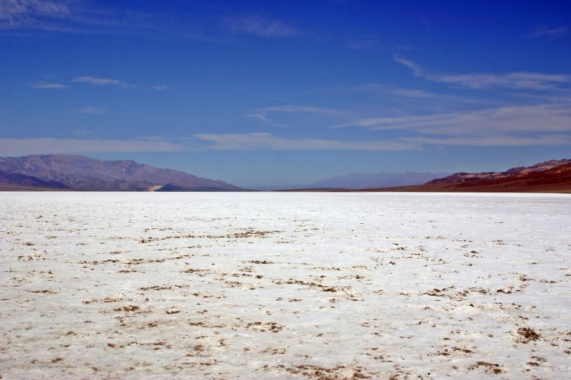
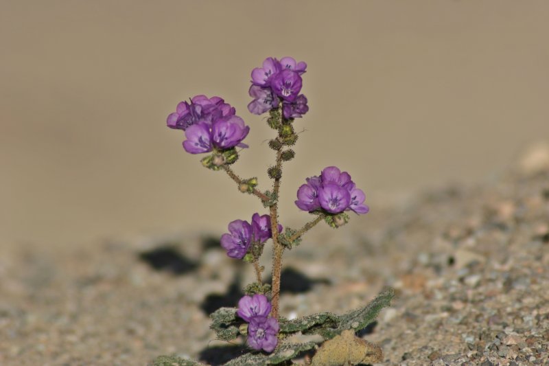
:: Desert Moods Album ::
Photo taken in and around Death Valley National Park
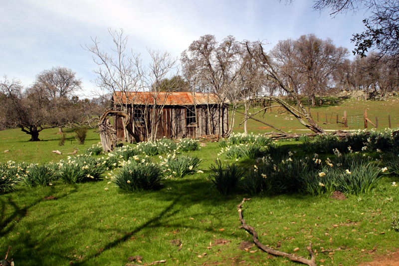
:: Old Line Cabin and Daffodils ::
Calaveras County, California
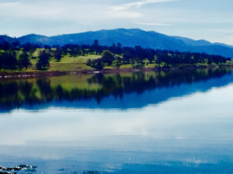
:: New Hogan Lake Album ::
Photographs taken around New Hogan Lake, which is near Valley Springs, Ca. Its is located 30 miles east of Stockton, Ca. Come out and enjoy the fishing and wildlife.
:: Nature Album ::
Nature's textures and colors touch us in so many ways. We need to be grateful each and everyday to behold nature in action.
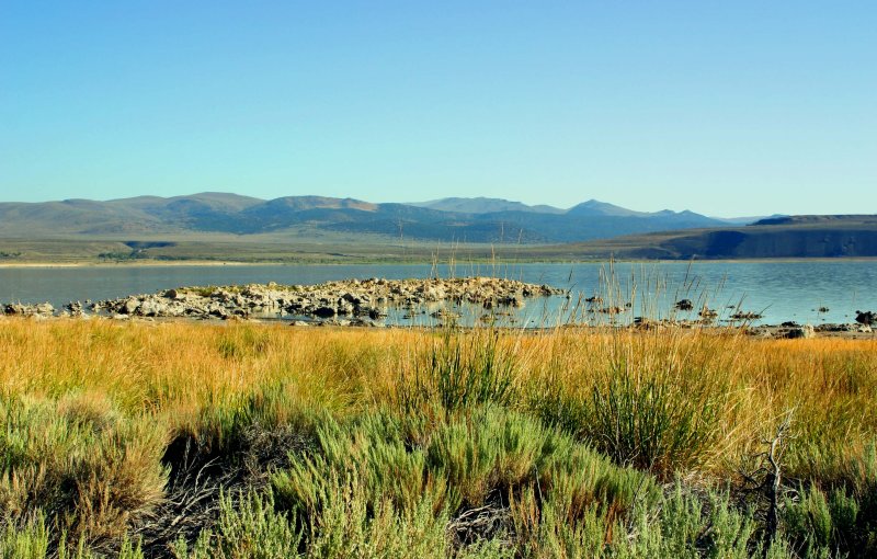
:: Mono Lake ::
Mono Lake located on the eastern slope of the Sierra Nevada is one of the oldest lakes in the Western Hemisphere. The lake shimmering water reflects the powder blue sky. The cream-colored tufa towers catches the changing sunlight from dawn to dusk.
The established reserve preserve the spectacular "tufa towers," calcium-carbonate spires and knobs formed by interaction of freshwater springs and alkaline lake water. The water at Mono Lake is so alkaline because streams that flow into the lake can not escape. Water loss from Mono Lake is through evaporation and the water has a very high concentration of dissolved salts of chlorides, carbonates and sulfates.
Mono Lake is the nesting area for abundance of water birds. Eighty percent of the California Sea Gulf nest on the now isolated islands in the lake. It is also located along the popular flyways of migrating birds.
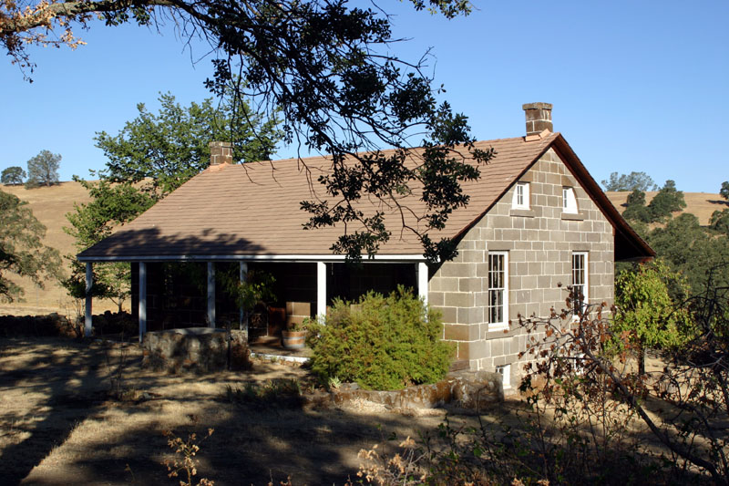
:: Wildermuth House ::
The Wildermuth House is a historical home once own by John H. Wildermuth located along the old Campo Seco Road. Stonemason William A. Watt built the home in 1861. The sandstone blocks were cut from a local sandstone outcrop near the home site. The sandstone was used to build other structures and fence at the home site. Travelers and miners on the old Camp Seco Road often rested at the Wildermuth Home
Today the Wildermuth House is protected and preserved by East Bay Municipal Utility District (EBMUD). Visitors are welcome to visit and several times during the year, the home is open to tours and information.
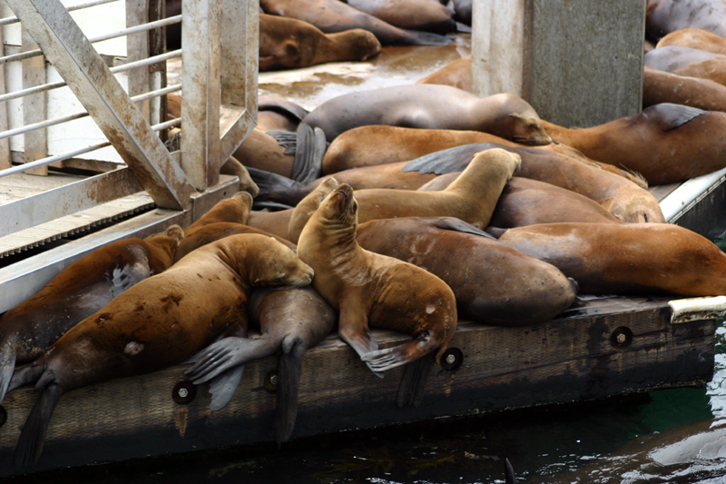
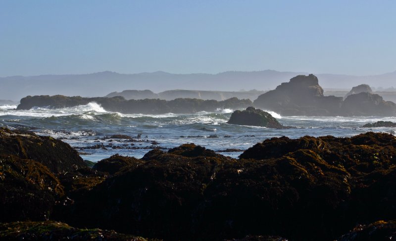
:: South San Francisco Coastal Area ::
Half Moon Bay to Santa Cruz
Great place to explore vibrant tide pools, sea life sanctuaries and beautiful rugged coastline. Abundance of quiet solitude with a sprinkle of coastal ambience.
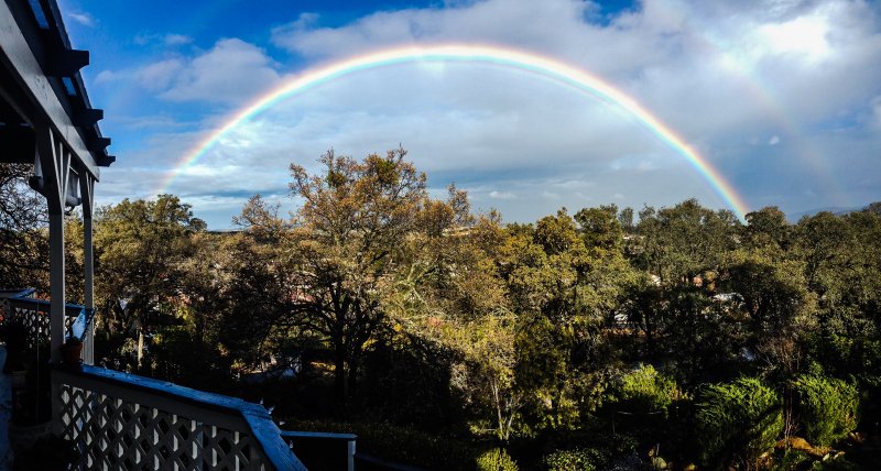
:: Sunset And More.... ::
:: Fort Bragg Glass Beach ::
For many, many years, Fort Bragg residents threw their household garbage over the sea cliff adjacent to the old Union Lumber Company. Most of the household garbage including automobiles, machinery and appliances did not washout to sea. Sometime fires were set to reduce the buildup of waste in �The Dumps�.
�The Dumps� was official closed in 1967 by the North Coast Water Quality Board and city leaders. Various cleanup efforts were undertaken through the years to correct the damage to the coastline. Metal structures, discarded appliances and machinery and cars were removed. Much of the glass product was ground down by the waves pounding against the rugged coast over the decades. Today the beach glistens from the small, smooth colored gems that cover the beach today.
Fort Bragg is also home for Mendocino-Coast Botantical Garden. The garden is located just south on Highway 1 from Highway 20 Junction. Great Ice Cream and Garden Store.
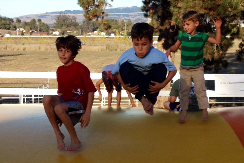
:: Family and Friends Album ::
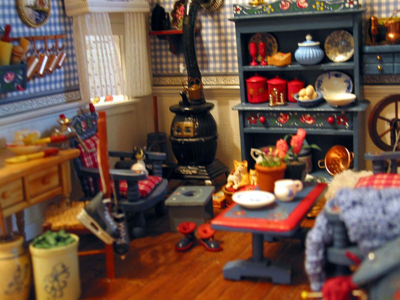
:: Collection of Room Boxes ::
Pictures of room boxes my sister's creates and makes.... They are made on a one inch scale. If you would like more information on Doll Houses and Miniatures send an e-mail to lilliehouse5349@sbcglobal.net
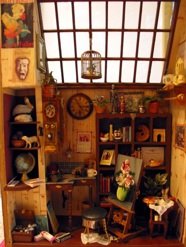
:: Joyce's Miniature Doll Houses and Room Boxes Album ::
Pictures of doll houses and room boxes my sister's makes.... They are made on a one inch scale. If you would like more information on Doll Houses and Miniatures send an e-mail to lilliehouse5349@sbcglobal.net
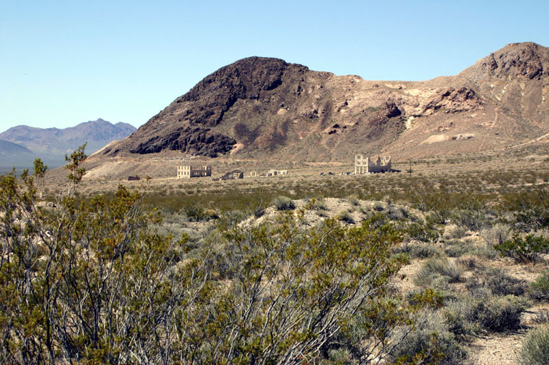
:: Rhyolite, Nevada ::
Rhyolite, Nevada is a ghost town located in the Bullfrog Hills, about 3.8 miles west of the town of Beatty, Nevada. The town came to life as the result of a gold rush that began in 1904, and had its estimated population of 10,000 residents between 1905 to 1910. You can reach Rhyolite four miles west of the town of Beatty, Nevada on Highway 374 that leads to Death Valley National Park.
:: Titus Canyon ::
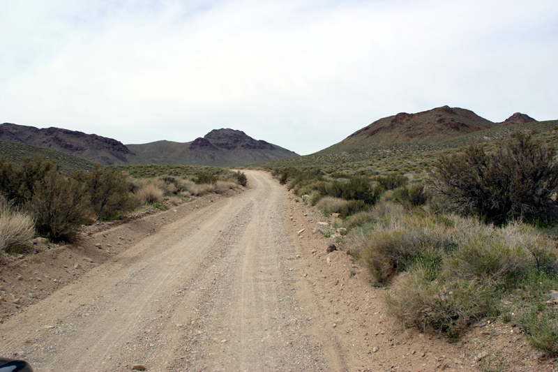
The road to Titus Canyon starts outside the park between Beatty, Nevada and Death Valley National Park. Better put near the state line. It is very straight in the beginning and rises gradually to White Pass. Along the roadway in March and April carpets of wildflowers can be seen. Take your time to explore. The road descends sharply and then rises again to Red Pass. From Red Pass you can see the old mining works at the ghost town of Leadfield. The road dissects Leadfield drops and winds down into Titus Canyon. A sign denotes the actual start of the canyon, then things begin to narrow. Titus Canyon is a deep, narrow gorge cut into the steep face of the Grapevine Mountains. The road snakes through the narrows of the canyon sometime 10 feet wide then breaks out at Klare Springs. Klare Springs can be seen along the road edge. A thick stand of willow and cattails outline the water course edge. Very little water is exposed through the lush brush. There are some interesting petroglyphs just above the spring. Sheep, a rain cloud, and several stacked ballon figures are etched into the outcrop of rock. The road continues to snake through the crooked and beautiful canyon after leaving Klare Springs and emerges at the top of an alluvial fan spreading out into Death Valley.
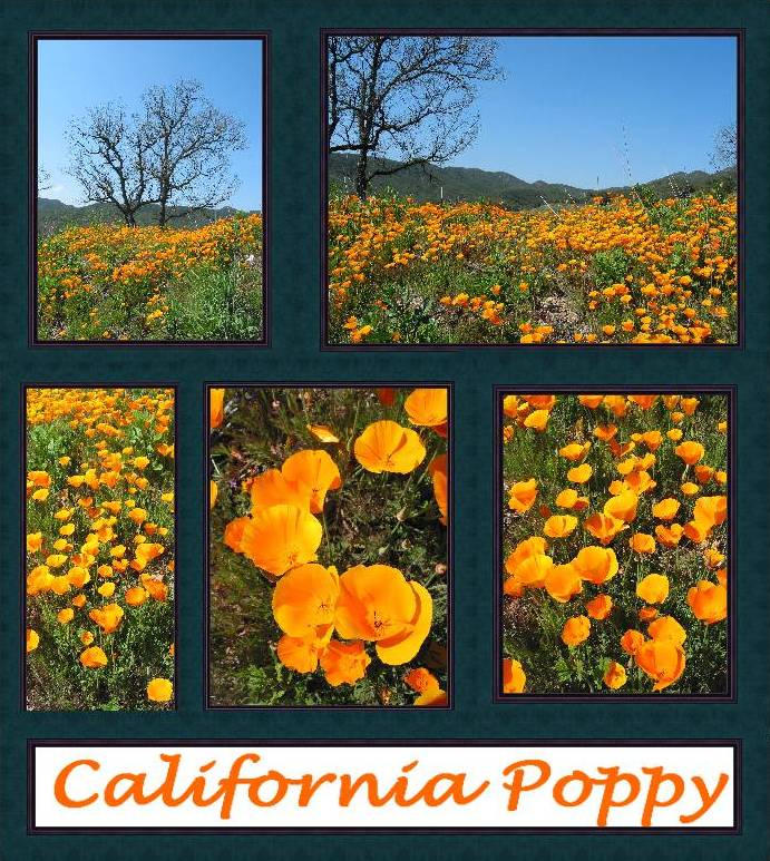
:: Poppy Fields Album ::
California Poppy Explode In Mass Of Colors. Gorman, Ca, Santa Monica Mtns NRA, Ca and New Hogan Lake, Ca.
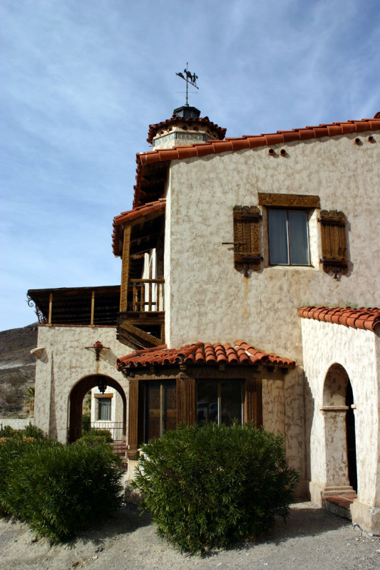
:: Scotty's Castle ::
Scotty's Castle located in the northeast end of Death Valley is a popular attraction of Death Valley National Park. The ranch setting in Grapevine Canyon consist of a two-story Spanish Villa, stable, car garage and shop, guesthouse and fuel station. Albert Johnson, a wealthy Chicago insurance executive, who constructed Death Valley Ranch for his health, built the popular 32,000-square-foot compound in 1927.
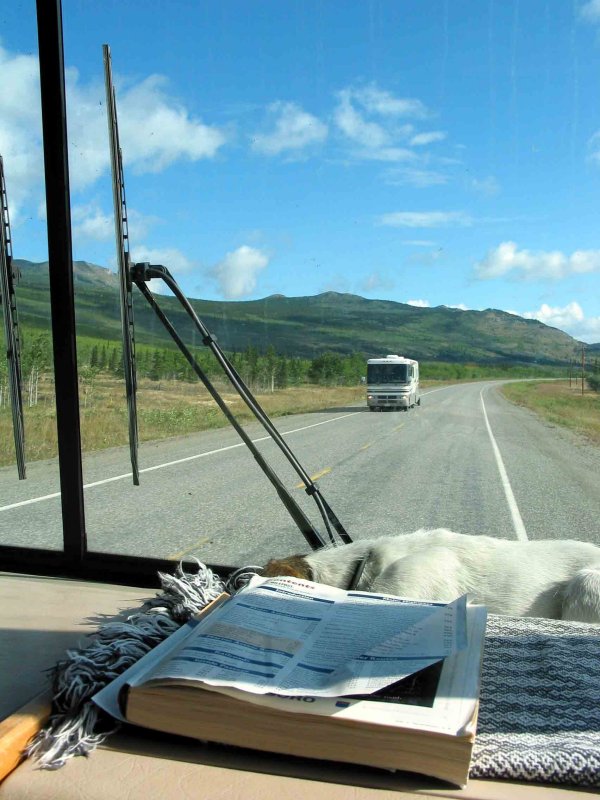
:: Alaska Highway Trip ::
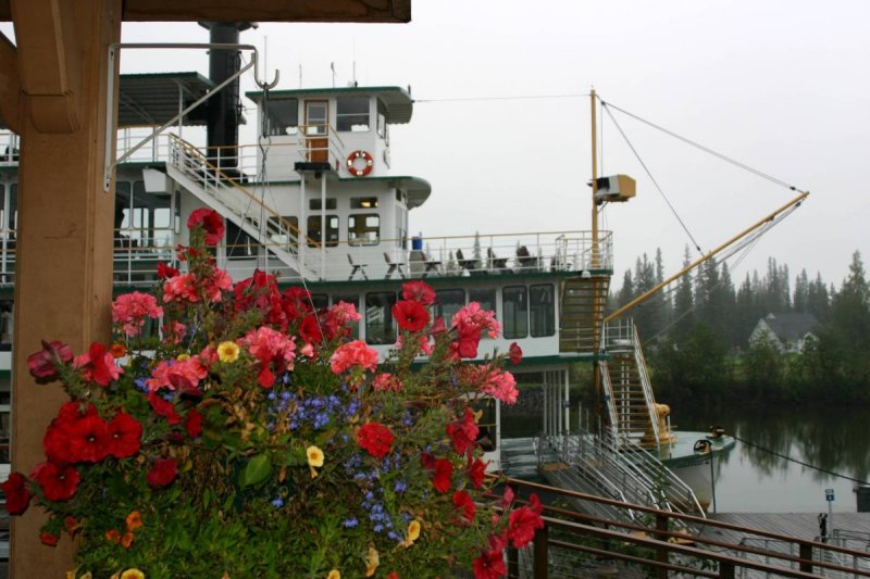
:: Riverboat Discovery ::
In Fairbanks you can catch the riverboat "Discovery" and take a trip down the Chena River and Nenana River for a little history on Alaska.
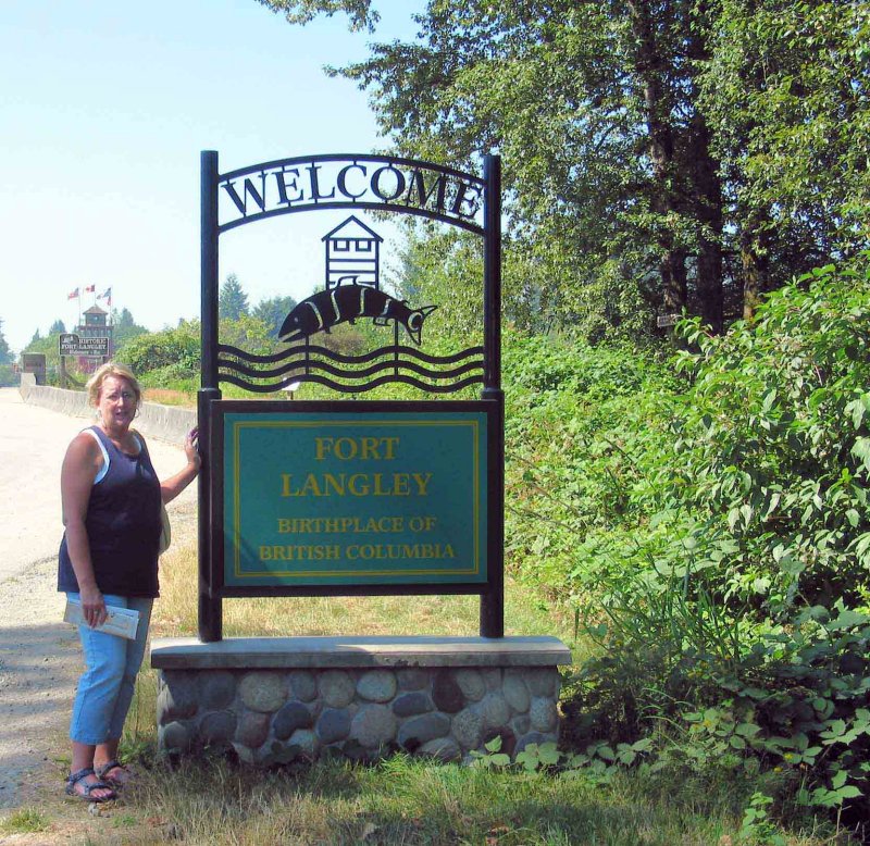
:: Fort Langley BC ::
The Langley area was the first part of the lower mainland of British Columbia where European settlement was established. Fort Langley was built in 1827 under the direction of James McMillan, Chief Trader of the Hudson's Bay Company. It was situated about 50 kilometres (30 miles) from the mouth of the Fraser River. The prime objectives of the Fort were to establish a fur trading post and to initiate some agricultural activities, which would secure a steady supply of food for the occupants of the various fur trading posts west of the Rockies.
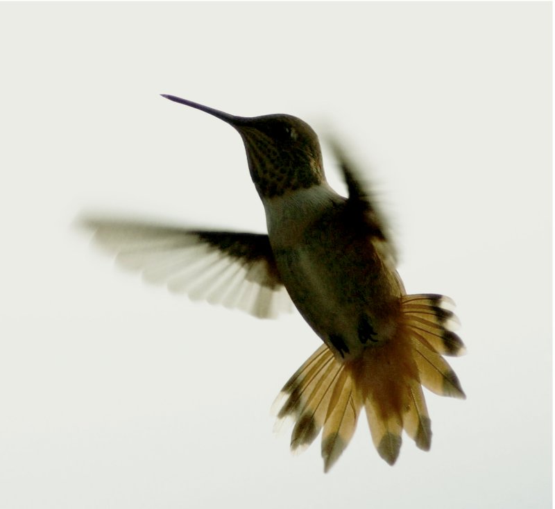
:: Hummingbird Album ::
Hummingbirds are aerial wonders. They are fun to photograph in their natural setting.
:: Odds and Ends Album ::
:: Black Album ::
Experimenting with subjects photographed with black background.
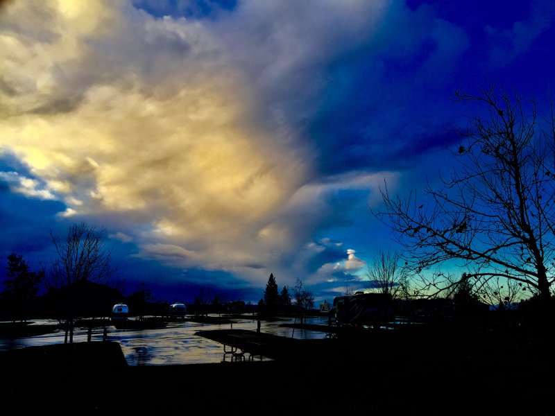
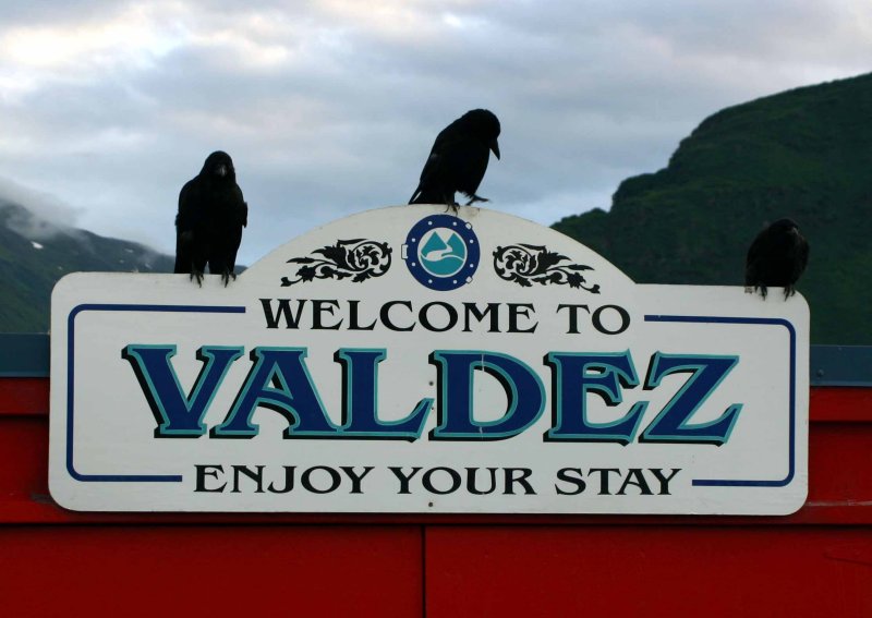
:: Valdez Alaska ::
Photos from around Valdez
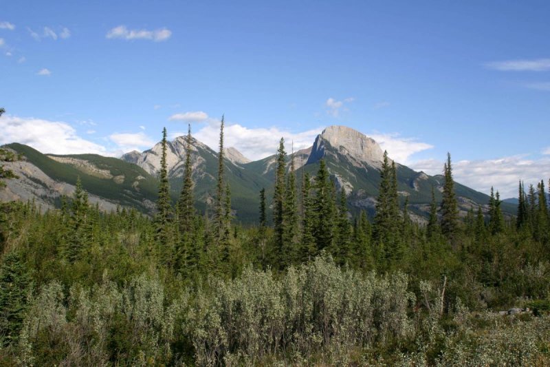
:: Icefields Parkway ::
The Icefields Parkway between Jasper NP and Banff NP is one of the world's most spectacular mountain highways. Here are a few pictures we randomly took while driving south along the Icefields Parkway from Jasper Natinal Park to Banff National Park. The Canadian Rockies are pristine. Pictures do not do them justice.
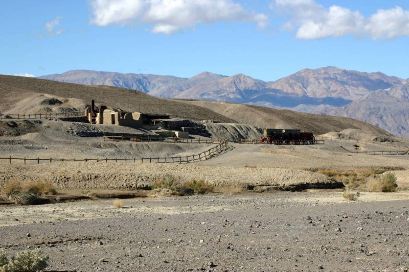
:: Harmony Borax Works ::
After purchasing the borax mineral claim of Aaron and Rosie Winters for $20,000, William T. Coleman open the Harmony Borax Works in 1882. He employed Chinese laborers for a buck-fifty a day to scrape the white ore from the dry lake bed. They processed the ore on site and hauled it by mule train to Mojave the nearest train depot.
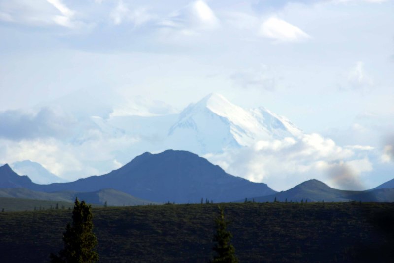
:: Denali National Park ::