


|
|
|
|
|
|
| Joseph Kurkjian | profile | all galleries >> Scenery >> Arizona Scenery >> White Mesa | tree view | thumbnails | slideshow |
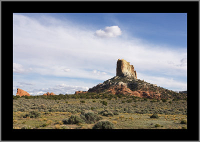 White Mesa Sentinel #1 |
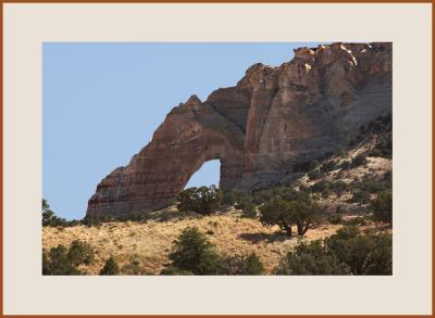 White Mesa Natural Bridge |
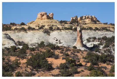 Typical White Mesa Landscape |
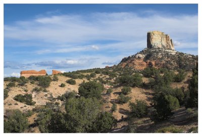 White Mesa Sentinel #2 |
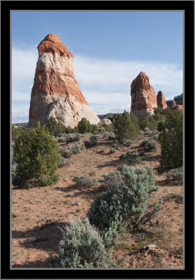 White Mesa Pinnacles |
| comment | share |