


|
|
|
|
|
|
| Jim Larkey | profile | all galleries >> Colorado 14'er Peak Bagging, Jul '07 Climb....Little Bear, El Diente, Antero, Democrat, & Bross >> Little Bear Peak, Elev 14,037 ft | tree view | thumbnails | slideshow |
| previous page | pages 1 2 3 4 ALL | next page |
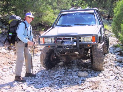 Road Kill Along Colorado's CR-975, Toughest 4-Wheel-Drive Road....Note Wheels Are Spread! |
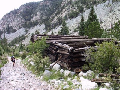
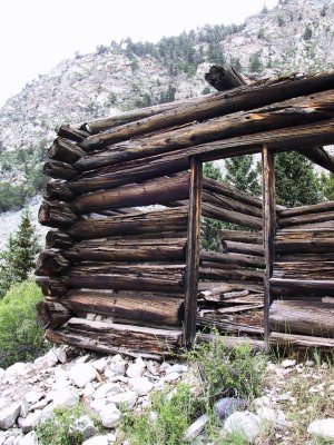 Cabin Along CO's Toughest Road, CR-975 |
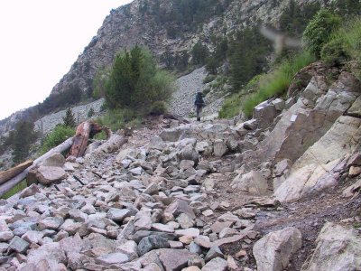
 Barb Huffing It On The Toughest Road, 5 MIles of Hell |
 Kurt on the Toughest Road.....+3,900' Elev Gain in 5 Miles, Note Plaque on Right |
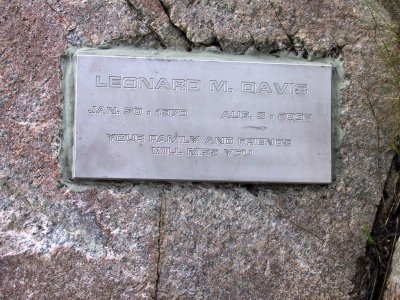 Memorials to the Fallen Along the Toughest Road....see URL below |
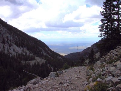 View of San Luis Valley From "The Road", CR-975 |
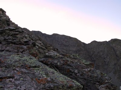
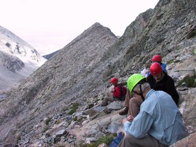
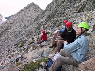
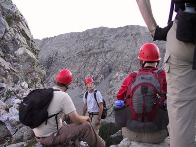 James Discussing the Lake Como Approach to Little Bear, Atop Saddle of 1st Gully, About 6:00AM |
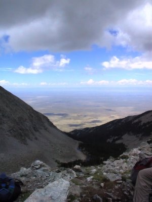
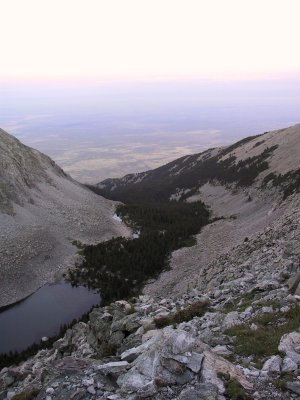 Dawn View From Approach to Little Bear, Look'g S'ly Down Blanca Basin |
 That's the Goal, Little Bear Summit Left of Center; On the West Ridge |
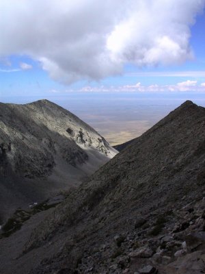
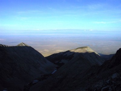 Dawn on the San Luis Valley |
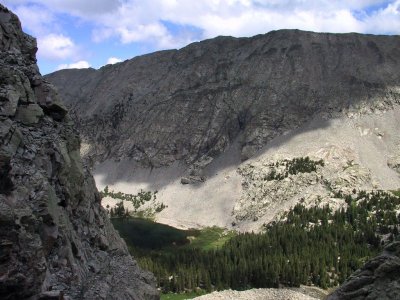
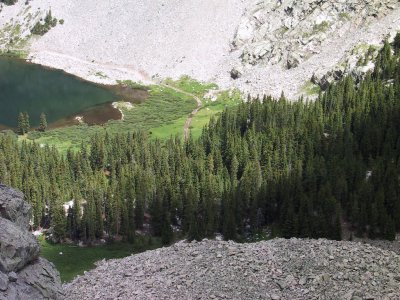
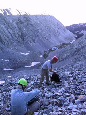 Breaktime, Kurt & James, Little Bear Lake and Tobin Cr at Bottom of Gully |
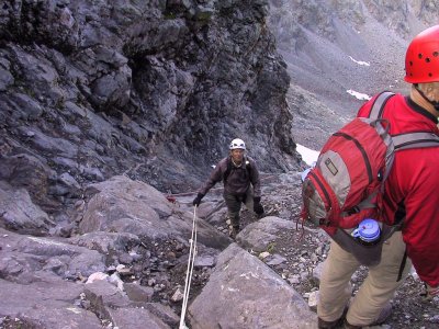
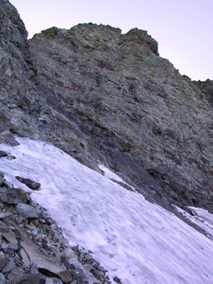 Approaching the "Hour Glass" (Dark Slab Rock Above Snowfield), Little Bear |
 Bob on the "Hour Glass", Ascending Fixed Ropes |
 Near The Summit, Little Bear.....Nothing "Little" About Little Bear |
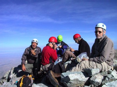 The Summit Team, Minus James (photog), Little Bear, Elev 14,037', 24-JUL-07 8:21:58AM |
 Little Bear Summit View |
 Blanca Peak (14,345'), From Little Bear, Connecting Ridge |
 Our Summit Firends.....Marmot |
 Complete Summit Team....James, Kurt, Bob, Jim, Robert, & Dave |
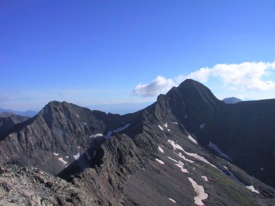 Summit Ridge to Blanca (14,335"), Ellingwood Pt (14,042') on Left |
 High Desert View From Summit of Little Bear, Hamilton Peak (13,658') Ridgeline |
 Summit View, Blanca Basin, Blanca Creek |
 Cairn Mraks the Way Down |
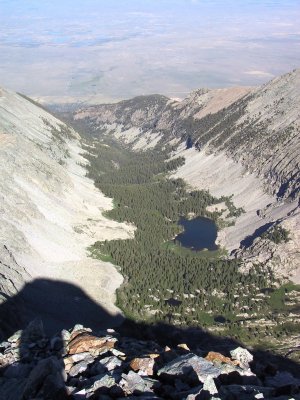 Lake Como, Our Base Camp, and Holbrook Creek, Our Way Down |
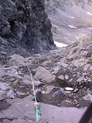 "The Hour Glass"....."I Think the Hour Glass is the Most Dangerous Spot on any of the Standard Routes on Co's 14'ers" (GRoach) |
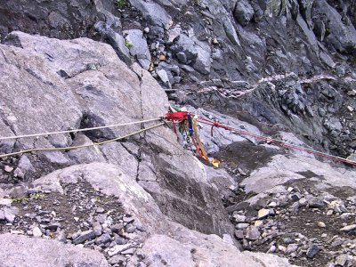 "Hour Glass" Safety, Note Missing Braid Cover on Light Green Rope Below Safety...Red OK |
 Jim on Rope, Robert in Red |
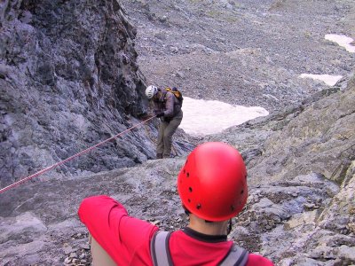 Jim, Descent Begins on the "Hourglass" Couloir |
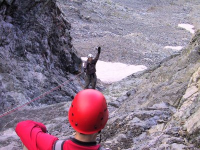 Jim...."Hourglass: Descent is a Piece of Cake!!! |
 Breaktime, View of the West Ridge |
 Awesome Descent VIews |
 Breaktime Again, On the West Ridge, Approx Time 10:40AM |
 Lake Como, Our Basecamp in the Pines |
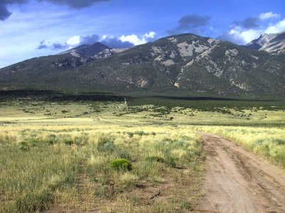
 High Desert View From Descent of Little Bear, Zapata Ranch in the Distance |
 That's Our Base Camp in the Pines....Lake Como, Note Tallis Field |
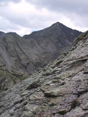 Blanca Peak (Elev 14,345')....Another Day |
 Blanca in the Distance on Right |
 Kurt Huffing the "Toughest Road".....Descent!!! |
 At "The Bottom", Sangre's on the Skyline, Time Approx 6:00PM |
 Weather Moving In |
 The Blanca Group, and the Beginning of the Five Miles From Hell Road...CR-975! |
| previous page | pages 1 2 3 4 ALL | next page |
| comment | share |