photo sharing and upload picture albums photo forums search pictures popular photos photography help login
Type your message and click Add Comment
It is best to login or register first but you may post as a guest.
Enter an optional name and contact email address. Name
Name Email
help private comment
Jerry Pillarelli | profile | all galleries >> Travel and Nature; Sites by State >> US Travel; by Trip, by State >> Wyoming >> Beartooth Highway - Shoshone, Gallatin, Custer NF – Wyoming, Montana tree view | thumbnails | slideshow

Beartooth Highway - Shoshone, Gallatin, Custer NF – Wyoming, Montana

Images of Beartooth Highway – Wyoming, Montana, taken in August 2025.

On the way into the Lamar Valley in Yellowstone National Park I took the incredibly scenic Beartooth Highway (US 212) which runs through the Shoshone, Gallatin and Custer National Forests. The 69-mile road is the highest paved highway in the Northern Rocky Mountains, rising to 10,947 feet at Beartooth Pass in Wyoming. Besides the rugged mountain peaks and expansive tundra, there are numerous clear blue lakes fed by snowmelt. Then there is the road itself; snaking through and climbing into and out of the mountains, 180-degree turn after 180-degree turn. It is also a thing to behold, and why there are several images in this gallery of this winding and undulating serpent of pavement.
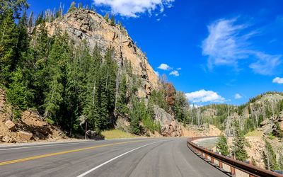
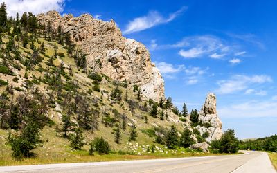
US 212, entering Custer National Forest west of Red Lodge Montana along the Beartooth Highway
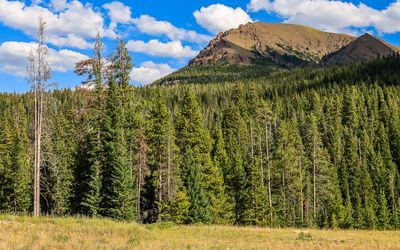
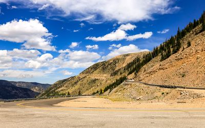
Beginning the assent into the Rocky Mountains along the Beartooth Highway
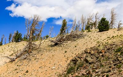
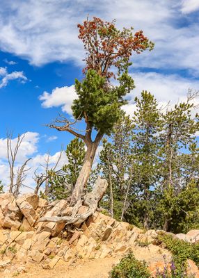
A tree at the Rock Creek Vista Point along the Beartooth Highway
A distant peak as seen from the Rock Creek Vista Point along the Beartooth Highway
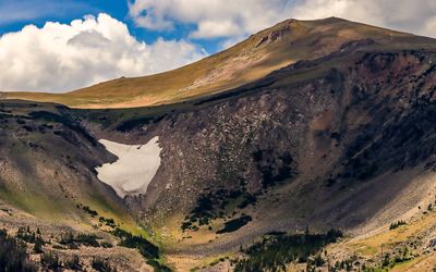
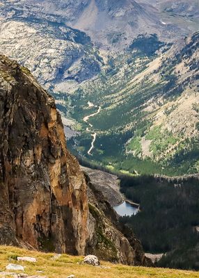
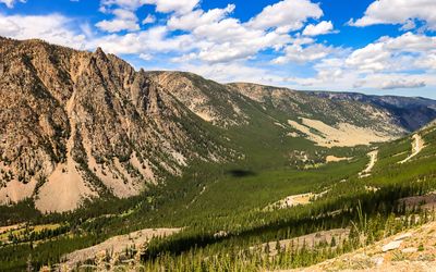
Looking into the glacial valley from along the Beartooth Highway
Twisted and weather worn trees along the Beartooth Highway
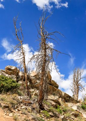
Dead trees at the Rock Creek Vista Point along the Beartooth Highway
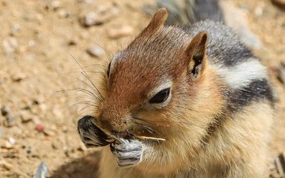
A chipmunk feeding at the Rock Creek Vista Point along the Beartooth Highway
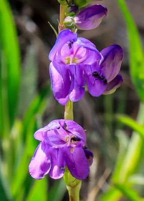
Ants feeding on flowers at the Rock Creek Vista Point along the Beartooth Highway
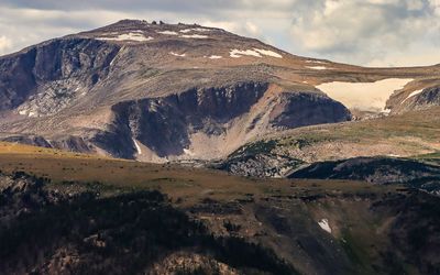
Spirit Mountain (12,283 ft) and Mt. Rearguard (12,204 ft) along the Beartooth Highway
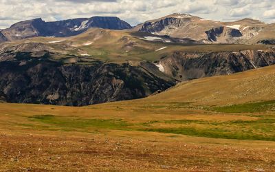
Mt. Rearguard as seen over the Hellroaring Plateau along the Beartooth Highway
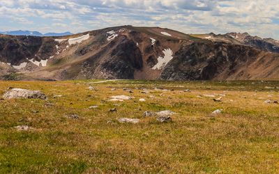
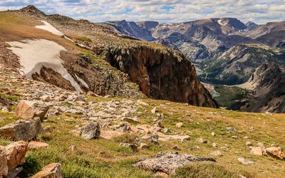
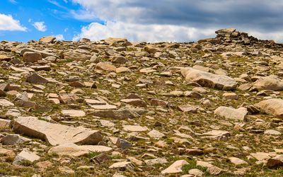
Rocky tundra along the Beartooth Highway
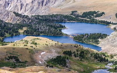
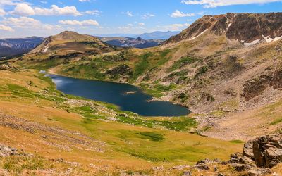
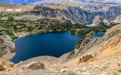
The deep blue waters of Twin Lakes as seen along the Beartooth Highway
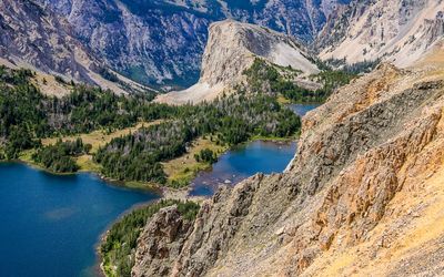
Closeup of Twin Lakes along the Beartooth Highway
Mountainous area across the tundra along the Beartooth Highway
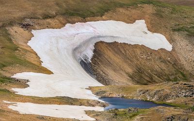
A small snowmelt pond along the Beartooth Highway
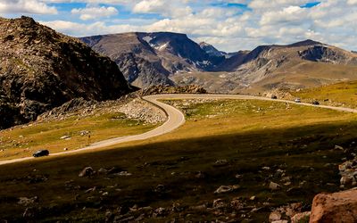
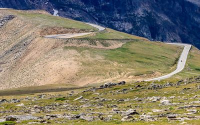
View of US 212 climbing along the Beartooth Highway
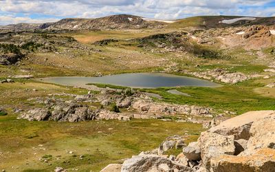
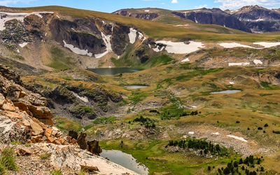
Cirque Lake and ponds along the Beartooth Highway
Lake in a small valley along the Beartooth Highway
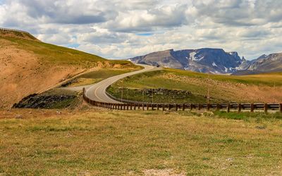
Rising roadway along the Beartooth Highway
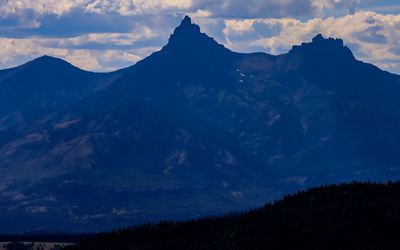
The Bear’s Tooth (11,000 ft) in the distance along the Beartooth Highway
View of Rock Creek Canyon across the tundra along the Beartooth Highway
Closeup of Rock Creek Canyon along the Beartooth Highway
Gardner Lake from the Beartooth Pass Vista along the Beartooth Highway
Rugged cliffs above Gardner Lake at the Beartooth Pass Vista along the Beartooth Highway
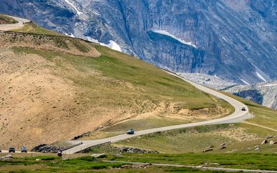
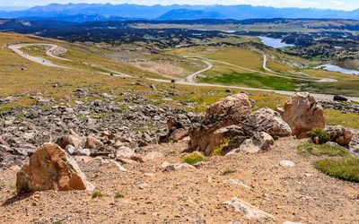
US 212 winds through the tundra along the Beartooth Highway
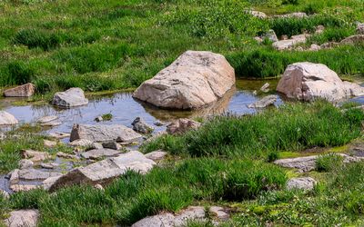
Large rocks in a small pond along the Beartooth Highway
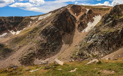
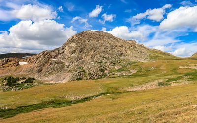
Rocky mountain along the Beartooth Highway
US 212 twists and turns among many lakes along the Beartooth Highway
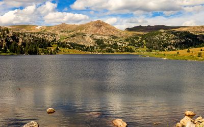
Overlooking a lake along the Beartooth Highway
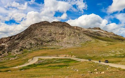
Large rocky mountain along the Beartooth Highway
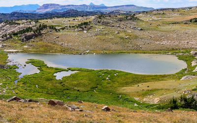
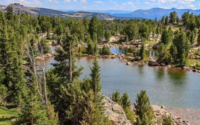
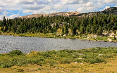
Lake in a rocky valley below the Beartooth Highway
Small grouping of ponds along the Beartooth Highway
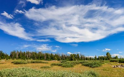
Wispy clouds over a meadow along the Beartooth Highway
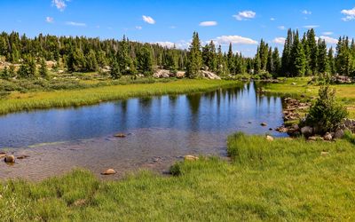
Pond near Beartooth Lake along the Beartooth Highway
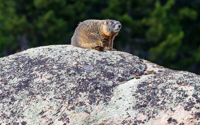
Marmot sunning itself on a large boulder along the Beartooth Highway
A portion of Island Lake along the Beartooth Highway
View across Island Lake along the Beartooth Highway
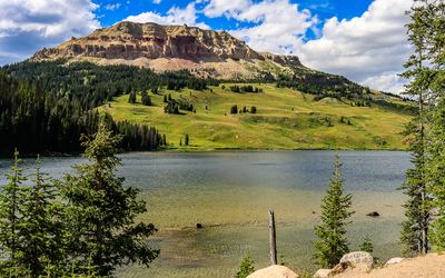
Beartooth Butte across Beartooth Lake along the Beartooth Highway
Pilot (11,522 ft) and Index (10,709) Peaks as seen from along the Beartooth Highway
Mountainous area along the Beartooth Highway
Smooth rock outcropping along the Beartooth Highway
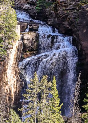
Beartooth Falls as seen along the Beartooth Highway
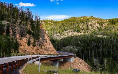
The road curves around a hillside along the Beartooth Highway
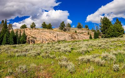
The forest rises onto a mountain along the Beartooth Highway