


|
|
|
|
|
|
| Jeremy | profile | all galleries >> Travel Images - Guizhou, China >> Maling River Gorge | tree view | thumbnails | slideshow |
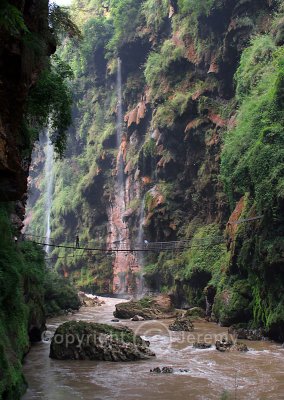
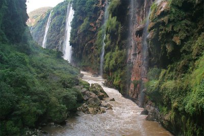
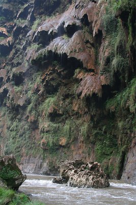
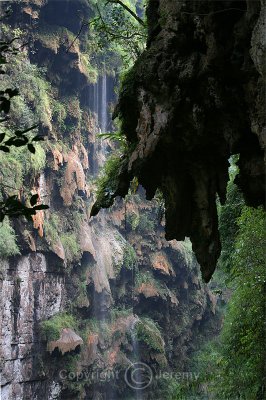
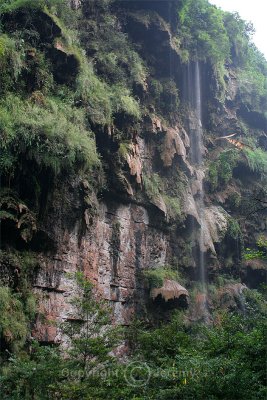
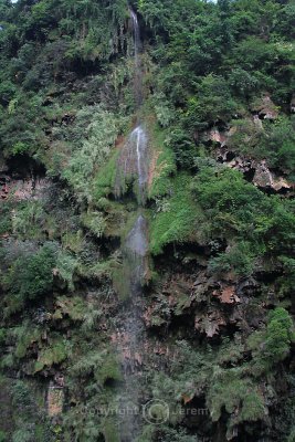
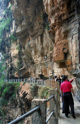
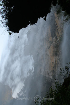
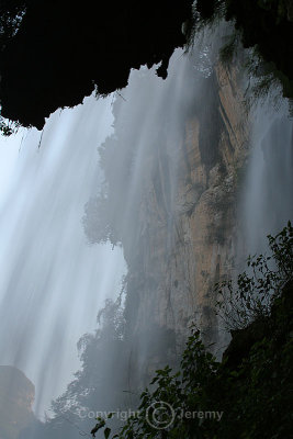
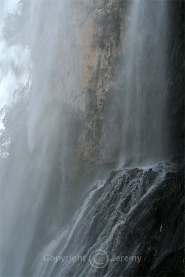
The Maling River Gorge is located about 10 kilometres from Xingyi, and is a long, deep rift in the Yunnan-Guizhou Plateau cut by the surging Maling River. It has an average depth of about 200-400 metres, and the narrowest point of the gorge is only just 50 metres wide. A series of both permanent and seasonal waterfalls (said to number around 100 in total) plunge or cascade down the steep cliffs on both sides of the gorge along its entire length, many of which are more than 100 metres high. Calcium sediments cover the faces of the cliffs of the gorge, forming strange patterns which look like hanging tapestries.
|
 Maling River Gorge (Oct 06) |
 Maling River Gorge (Oct 06) |
 Hanging Tapestries (Oct 06) |
 Maling River Gorge (Oct 06) |
 Maling River Gorge (Oct 06) |
 Maling River Gorge (Oct 06) |
 Maling River Gorge (Oct 06) |
 Flying Waterfall (Oct 06) |
 Flying Waterfall (Oct 06) |
 Flying Waterfall (Oct 06) |
| comment | share |