


|
|
|
|
|
|
| Jacques @RT | profile | all galleries >> Ride@Will 行影不離 >> Mt. Hehuan Highway 合歡山公路 | tree view | thumbnails | slideshow |
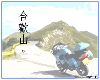 Mt. Hehuan Highway | Provincial Highway No. 14A,
height of 3275m |
View@Wuling, Taroko National Park (Panorama) | View of Mt. Hehuan Highway @ Wuling (3,275m) |
 Mt. Hehuan Highway, 2005 | Under the blue sky, the way to Wuling... |
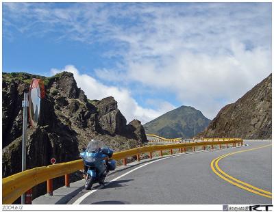
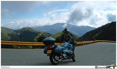
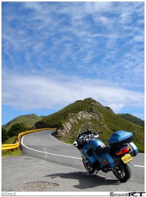 Mt. Hehuan Highway, 2004 | Mt. Shimen, 3237m.
the 69th of the "hundred 3,000-meter peaks" of Taiwan |
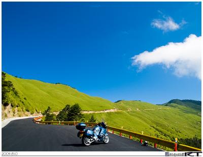
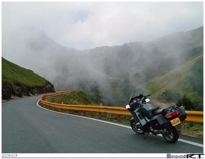
 Mt. Hehuan Highway, 2005 |
|
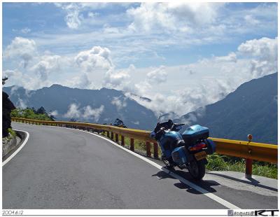
 Mt. Hehuan Highway, 2004 | Passing through the mountains, heading to Dayuling |
 Mt. Hehuan Highway, 2004 |
|
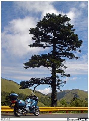
 Mt. Hehuan Highway, 2004 | Ride under the blue sky |
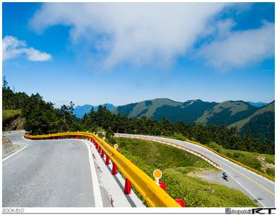
 Mt. Hehuan Highway, 2003 | The highest Taiwan provincial route, built with typical yellow fence and red pillars |
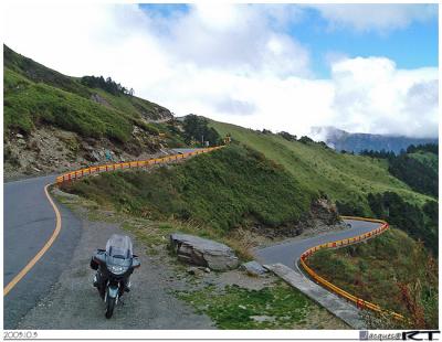
 Mt. Hehuan Highway, 2003 | The winding road to Pine Snow Hostel (Songxue Hostel) |
 Mt. Hehuan Highway, 2004 | Among the mountains, the way to Dayuling |
| comment | share |