


|
|
|
|
|
|
|
| |
| 10 Jul 2004 | Dave Beedon |
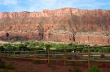
Looking southwest across the valley at Porcupine Rim. The next photo concentrates
on the stream canyon just left of the middle of this image.
Topographic map: USGS Big Bend, UT (1:24,000).
All images are copyright 1966 - 2023 by Dave Beedon (davebeedon AT comcast DOT net).