


|
|
|
|
|
|
| Margie | profile | all galleries >> National Parks/Monuments/ State Parks Gallery >> Deep Canyons to High Mesas--Canyonlands National Park | tree view | thumbnails | slideshow |
| previous page | pages 1 2 3 4 ALL | next page |
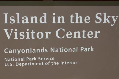 entrance to Canyonlands National Park |
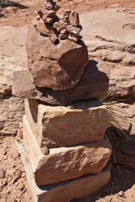 a rock cairn |
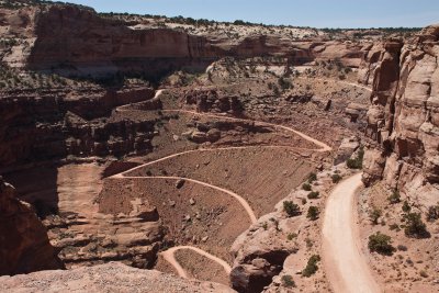 Shafer Canyon |
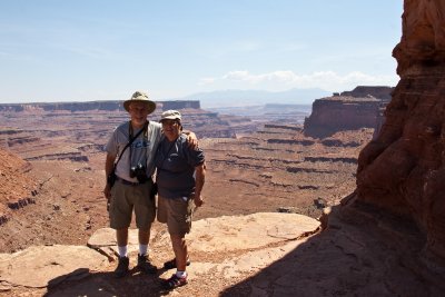 Picture time! |
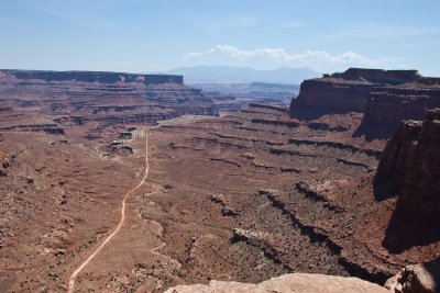 Shafer Canyon Road |
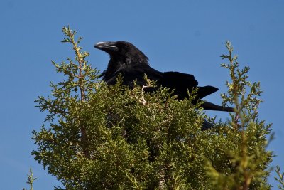 friendly and photogenic raven |
 Shafer Canyon Overlook |
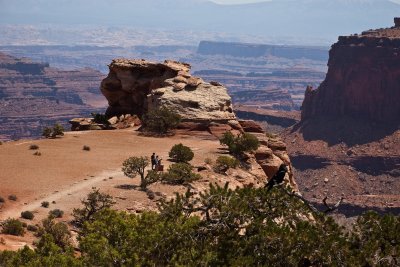
 next stop ... Mesa Arch |
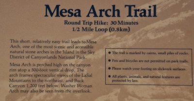
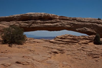 Mesa Arch |
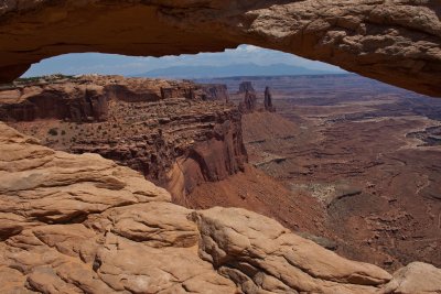 looking through the keyhole |
 White Rim Valley & LaSal Mtns. |
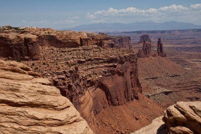
 Note rock colors and layers |
 Picture time! |
 Crossing the Arch |
 A photographer will use any pose to get "his picture"! |
 Upheaval Dome |
 Salt Dome Theory |
 Upheaval Dome surrounding area |
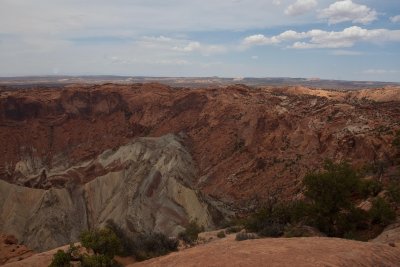 Meteorite Impact Theory |
 Whale Rock |
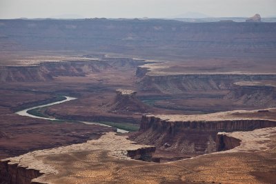
 Green River Overlook |
 the Green River flows through the deep canyons |
 Turks Head |
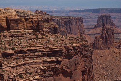
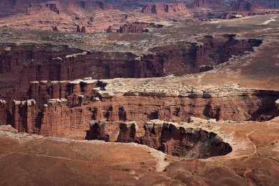
 Canyons, mesas, and buttes |
 Grand View Point Trail |
 Hiking on slick rock |
 There's my photographer trying to find a picture down there! |
 Knarly trees and plants compete for survival with very little rain! |
 Totem Pole |
 Almost to the Point |
 Balanced Rock |
 Candlestick Tower in distance |
 Stairsteps carved into the sandstone |
 Yet another balanced rock! |
 Grand View Point |
 City of the gods |
 Northern whiptail lizard |
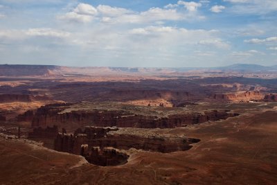
 Fins and the 100 mile White Rim Road |
 Fins belong in more places than on a fish! |
 Desert flowers are abundant |
 another cactus flower |
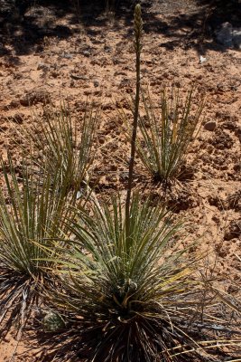 Narrow leaf yucca |
 Blackbrush Garden |
 Dead tree among the living brush |
 Open range on Hwy 313 as we left Canyonlands |
 "I dare you", this little guy postures |
 "Mooooo...ve out of my way" |
| previous page | pages 1 2 3 4 ALL | next page |
| comment | share |