


|
|
|
|
|
|
| Harry Lavo | profile | all galleries >> Places Visited >> Holyoke MA >> Riverfront Areas | tree view | thumbnails | slideshow |
| previous page | pages 1 2 3 4 ALL | next page |
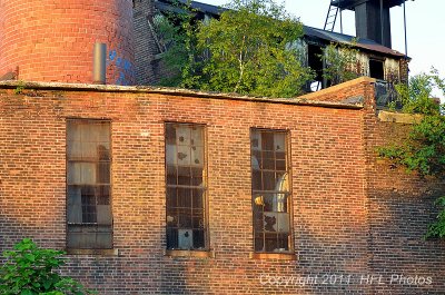
 Abandoned mill buidling.jpg |
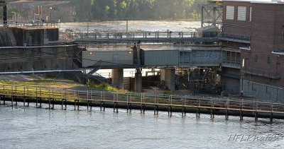
 Damn Operations Bldg.jpg |
 "Stonehenge at the waterworks".jpg |
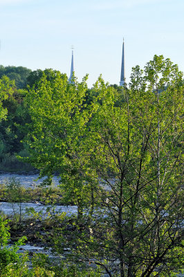
 South Hadley churches in early light.jpg |
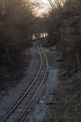
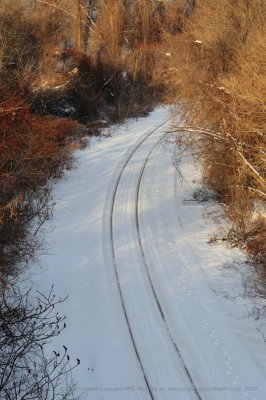 20080105-05-winter tracks.JPG |
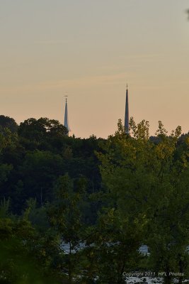
 South Hadley Churches on Clear Memorial Day 2008JPG |
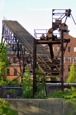 Abandoned industrial conveyor.JPG |
 Holyoke Dam, Connecticut River |
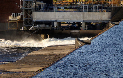 Octoberfest-20081010_124_Dam Shots.JPG |
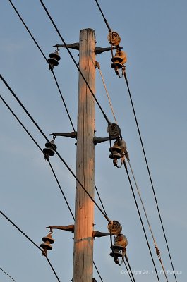
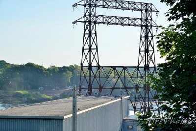
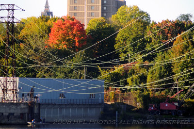 Wires |
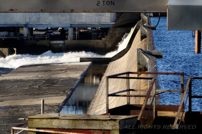
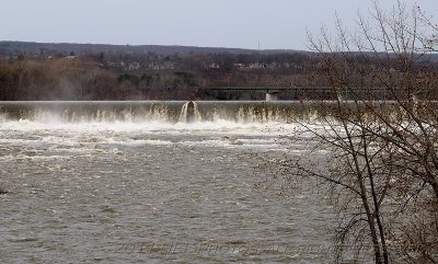
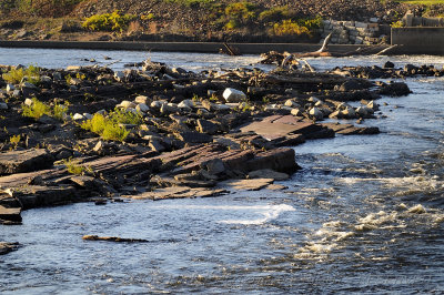 Just below the dam - #1 |
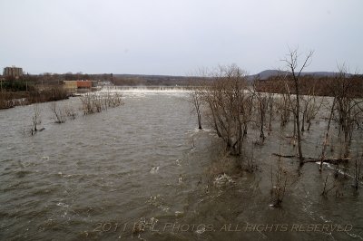
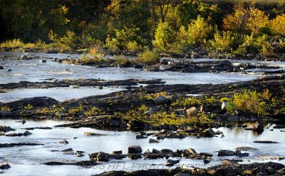 Further below the dam - #2 |
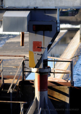 Hoist control box |
 Railroad River 20110416_08 Chicopee Hall.JPG |
 Railroad River 20110416_09 Chicopee Hall.JPG |
 Railroad River 20110416_04 Golden Rails.JPG |
 Fishway Area 20110716_053755 Sunny July Morn.JPG |
 Fishway Area 20110716_054738 Sunny July Morn.JPG |
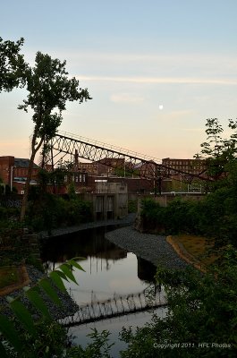
 Fishway Area 20110716_055339 Sunny July Morn.JPG |
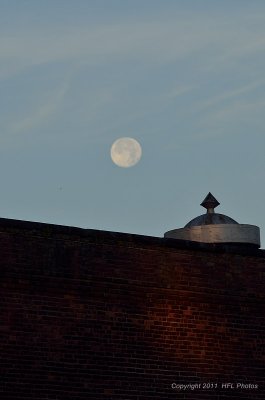
 Fishway Area 20110716_055414 Sunny July Morn.JPG |
 Fishway Area 20110716_055737 Sunny July Morn.JPG |
 2014 Spring Meme 20140607 2897 Downtown Holyoke.jpg |
 2014 Spring Meme 20140607 2899 Downtown Holyoke.jpg |
 2014 Spring Meme 20140607 2897 Downtown Holyoke.jpg |
 2014 Spring Meme 20140607 2899 Downtown Holyoke.jpg |
| previous page | pages 1 2 3 4 ALL | next page |
| comment | share |