photo sharing and upload picture albums photo forums search pictures popular photos photography help login
Greg Lief | profile | all galleries >> Mount Hood National Forest >> Wy'East Basin tree view | thumbnails | slideshow

99 Ridge | Bald Mountain | Barrett Spur | Burnt Lake | Cairn Basin | Cast Creek | Chak Chak Falls | Clackamas River | Cold Spring Creek | East Face | Eden Park | Eliot Glacier | Elk Cove | Glisan Creek | Heather Canyon | Hideaway Creek | Hood Meadows | Little Zigzag River | Lookout Mountain | Lost Lake | McGee Creek | McNeil Point | Mirror Lake | Muddy Fork | Newton Clark Glacier | Ramona Creek | Red Hill | Salmon River | Tamanawas Falls | Timberline Trail | Tom Dick & Harry Mountain | Trillium Lake | Vista Ridge | Wy'East Basin | Yocum Falls | West Fork Falls

Wy'East Basin

Wy'East Basin is located along the Timberline Trail on the northwest side of Mount Hood. From here you can see Mount Hood, Mount Adams, Mount Saint Helens, and (on a clear day) Mount Rainier.
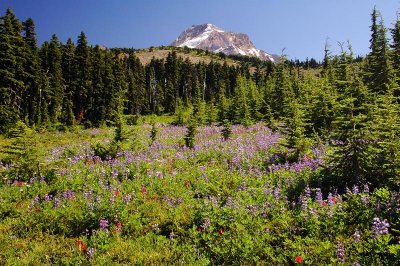
Mount Hood from Wy'East Basin, afternoon study 1
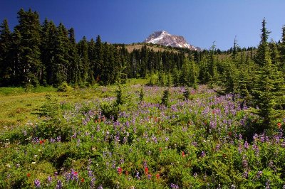
Mount Hood from Wy'East Basin, afternoon study 2
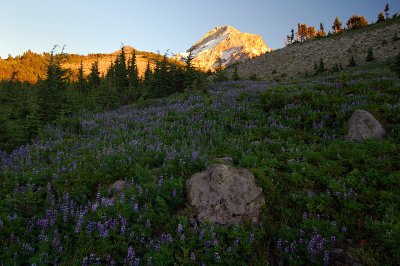
Mount Hood from Wy'East Basin, evening study 1
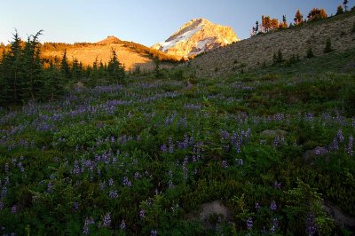
Mount Hood from Wy'East Basin, evening study 2
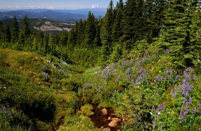
Mount Adams from Wy'East Basin, study 1
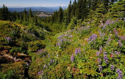
Mount Adams from Wy'East Basin, study 2
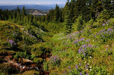
Mount Adams from Wy'East Basin, study 3