


|
|
|
|
|
|
| Greg Lief | profile | all galleries >> Mount Hood National Forest >> Clackamas River | tree view | thumbnails | slideshow |
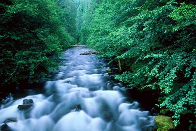 Oak Grove Fork |
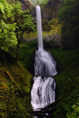 Pup Creek Falls |
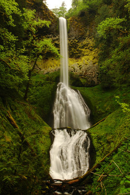 Pup Creek Falls, 2010 Study |
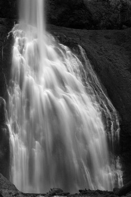 Pup Creek Falls detail study |
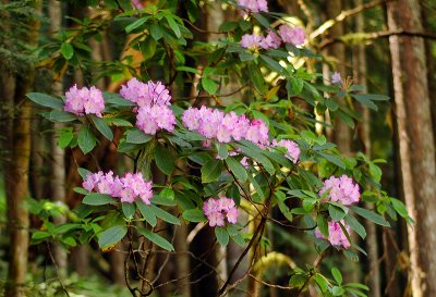 Rhododendrons along the trail |
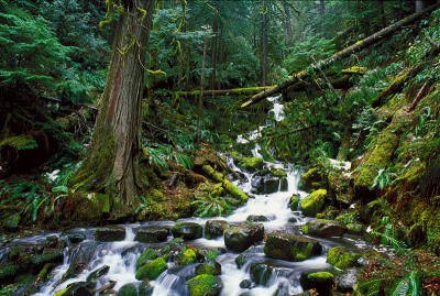 Unnamed Creek, winter study |
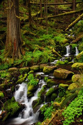 Unnamed Creek, spring study |
| comment | share |