photo sharing and upload picture albums photo forums search pictures popular photos photography help login
Greg Lief | profile | all galleries >> Galleries >> Siuslaw National Forest tree view | thumbnails | slideshow

Columbia Gorge | Waterfalls & Rivers | Wildflowers | Mount Hood National Forest | Central Oregon | Southern Oregon | Siuslaw National Forest | Eagle Cap Wilderness | Glacier National Park | Mount Baker | Mount Rainier | Mount Saint Helens | Olympic Peninsula | Steens Mountain | Miscellany | Aldrich Butte | Bridal Veil | Cascade Locks | Chinidere Mountain | Coopey Falls | Dog Creek | Duncan Creek | Eagle Creek | Elowah Falls | Gorge Views | Gorton Creek | Hamilton Mountain | Herman Creek Trail | Hood River area | Horsetail Falls | Lancaster Falls | Latourell Falls | Lindsey Creek | Moffett Creek | Munra Creek | Munra Point | Multnomah Falls | Multnomah Creek | Oneonta Falls | Oneonta Gorge | Ponytail Falls | Ruckel Creek | Shepperds Dell | Spirit Falls | Starvation Creek | Stevenson area

Siuslaw National Forest

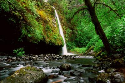
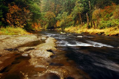
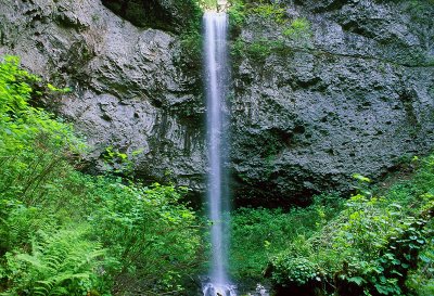
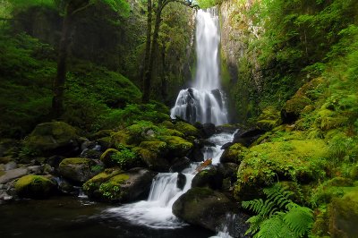
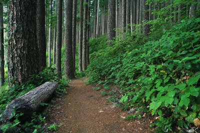
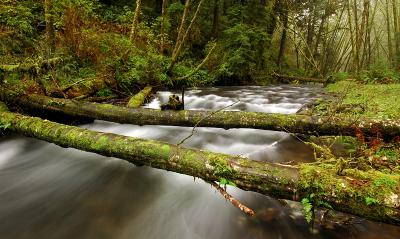
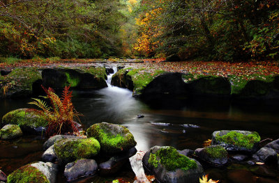
The Siuslaw National Forest is located along the central Oregon Coast between Tillamook and Coos Bay, and extends into the Coast Range Mountains. It encompasses 630,000 acres (984 square miles).
Drift Creek Falls
:: Drift Creek Falls ::
Drift Creek Wilderness
:: Drift Creek Wilderness ::
Hebo area
:: Hebo area ::
Kentucky Falls
:: Kentucky Falls ::
Marys Peak
:: Marys Peak ::
Rock Creek Wilderness
:: Rock Creek Wilderness ::
Sweet Creek
:: Sweet Creek ::