


|
|
|
|
|
|
| Craig Gillette | profile | all galleries >> California and Nearby States Travel >> Yosemite >> Yosemite April 2003 | tree view | thumbnails | slideshow |
| previous page | pages 1 2 ALL | next page |
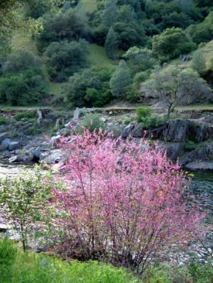 roadbed1.jpg Merced River Canyon, redbud with former YVRY right of way on opposite bank of river. |
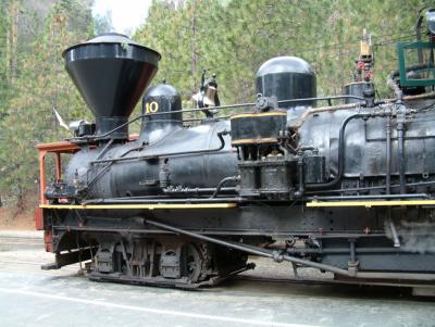
 shay1.jpg Shay locomotive at Yosemite and Sugar Pine Railroad, tourist line just outside south entrance to park, between Oakhust and Wawona. |
 shayfarsidedetails.jpg Details of reverse side. |
 turntableyvrr.jpg Turntable pit at El Portal, former Yosemite Valley Railway. |
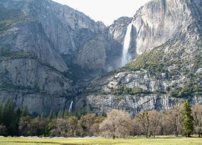
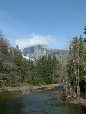
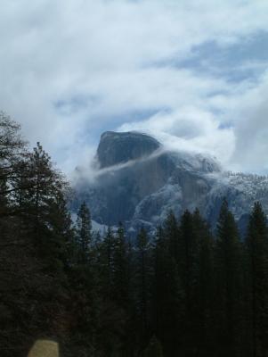 half-dome1.jpg Half Dome from Sentinel Bridge. |
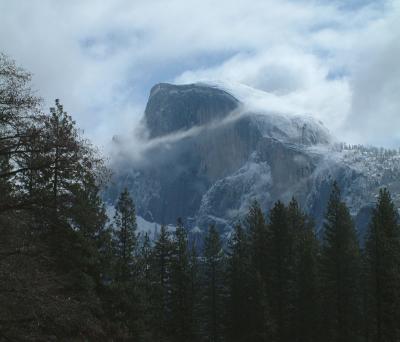 half-dome3.jpg Half Dome. Cropped from previous photo with some adjustments to brightness and contrast. |
 half-dome2.jpg Half dome, again from Sentinel Bridge. |
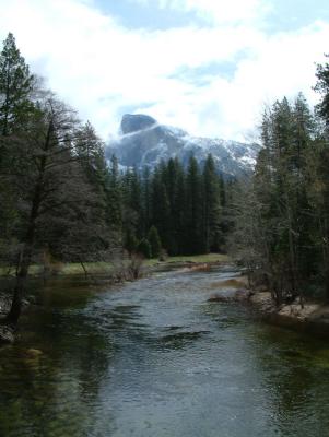
 valleyriver1.jpg Downstream from Sentinel Bridge. |
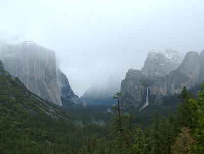 tunnelviewclouds.jpg View from Tunnel View. |
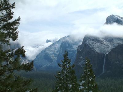 valleysnow1.jpg Tunnel view again. Bridalveil Falls. |
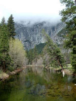
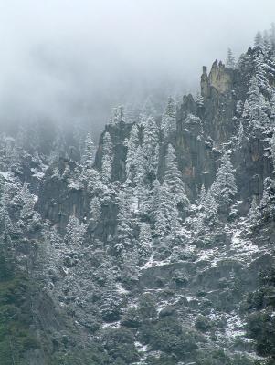 cliffsnow1.jpg Cliffs viewed from Sentinel Bridge area (I think). |
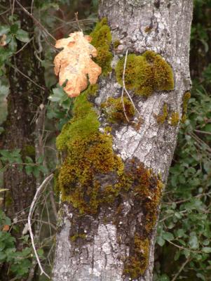 mossytrunk1.jpg Oak tree on trail to Lower Yosemite Falls. |
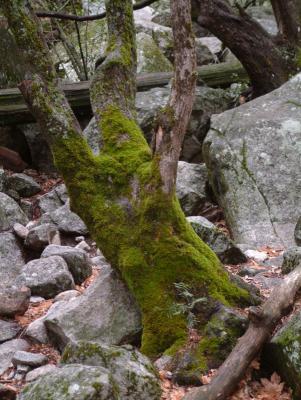 mossytrunk2.jpg Near base of Bridalveil Falls. |
 smallfalls1.jpg Base of Cascade falls, near El Portal, Merced River Canyon. |
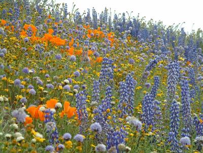 mixflwrs1.jpg Mixed spring wildflowers near Gorman, California. |
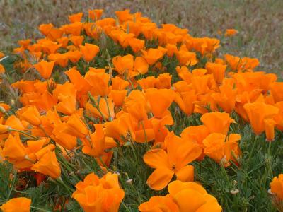 poppies01.jpg California poppies near Gorman, Ca. |
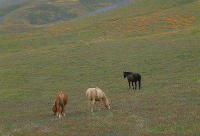 horsehills2.jpg Horses on hills near Gorman, Ca. Poppies, lupine and other spring wildflowers on hills in the area. |
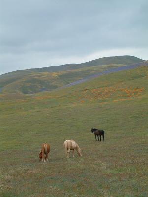 horsehills1.jpg Horses on hills near Gorman, CA., uncropped. |
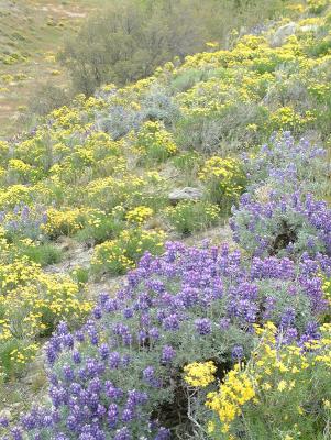 lupineyellowhill.jpg Spring flowers near Gorman, Ca. |
 2003_0423_161150AA{Q}.jpg |
 2003_0423_161414AA{Q}.jpg |
| previous page | pages 1 2 ALL | next page |
| Craig Gillette | 02-May-2003 04:28 | |
| Gary Robertshaw | 02-May-2003 04:03 | |