


|
|
|
|
|
|
| Garrie Rouse | profile | all galleries >> Galleries >> the "Rivah" | tree view | thumbnails | slideshow |
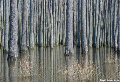 Chickahominy Swamp |
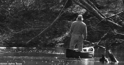 scouting ahead on the upper Matta River |
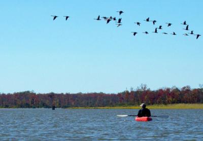
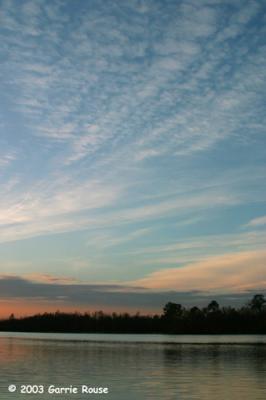 Mattaponi Sky |
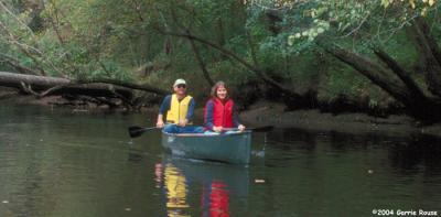 gliding into Aylett on the outgoing tide |
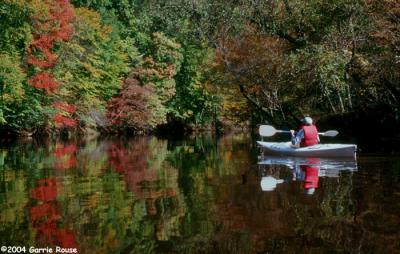 early fall colors on the upper Mattaponi |
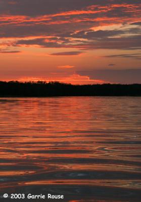 Mattaponi Sunset |
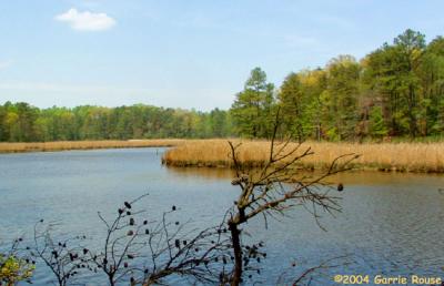
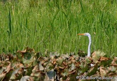
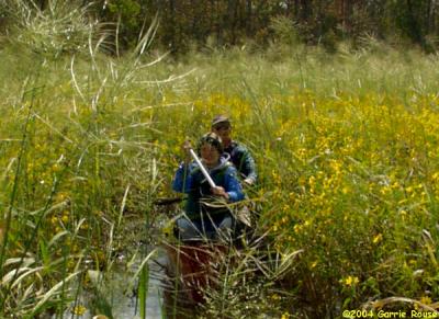 up close and personal with the marsh |
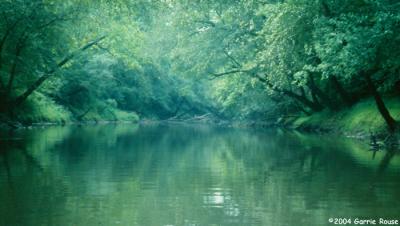 lazy summer day on the upper Pamunkey River |
 early fall paddle on the lower Pamunkey |
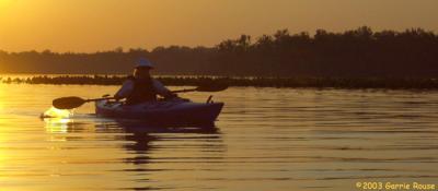 Pamunkey sunset at "The Pocket" |
 Aylett Landing |
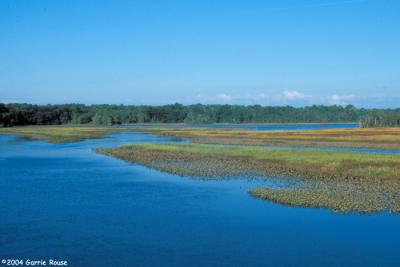
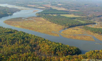 Garnetts Creek Marsh (fall) |
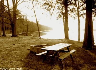 Sandy Point (I) |
 Bush Mill Creek |
[ The Mattaponi River ] |
[ The Pamunkey River ] |
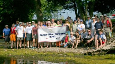
[ James River Sojourn (2005) ] |
| comment | share |
| Bill | 27-Jul-2008 22:51 | |
| Guest | 27-Nov-2006 17:32 | |
| Sally Mills | 26-Apr-2004 15:22 | |
| Guest | 09-Apr-2004 10:34 | |