


|
|
|
|
|
|
| galleria_rusticana | profile | all galleries >> Galleria Sudan >> Meroe Naga and Musawwarat | tree view | thumbnails | slideshow |
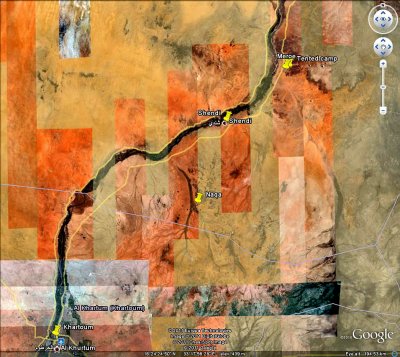 Khartoum to Meroe p s.jpg |
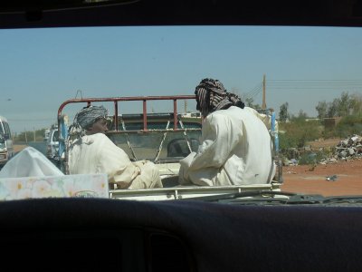 P1190635.JPG |
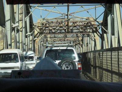 P1190628.JPG |
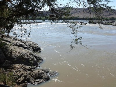 P1190661.JPG |
 P1190658.JPG |
the way down p ss 768.jpg |
meroe1crop p ss 1024.jpg |
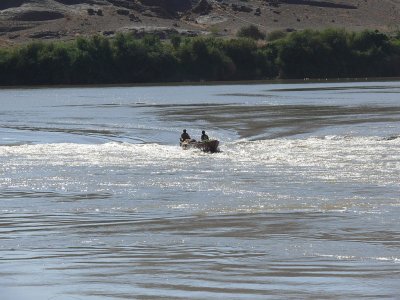
 meroenile.jpg |
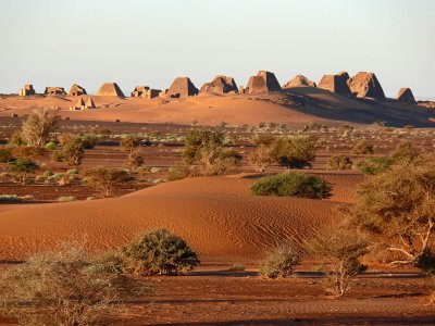
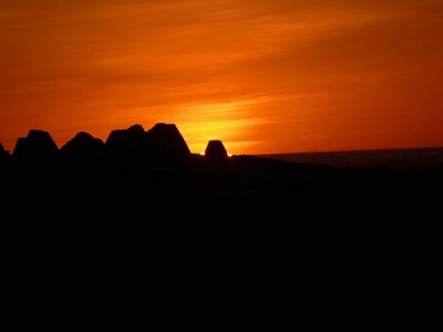
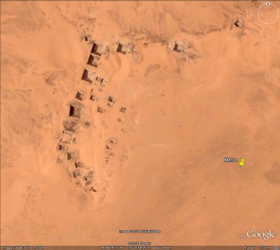 meroe pyramid field1.jpg |
meroe 3acrop crop 1024 fill clone p ss 768 lres.jpg |
 P1190720.JPG |
 P1190912.JPG |
 P1190913.JPG |
 P1190750.JPG |
 P1190749 p ss 768.jpg |
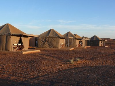
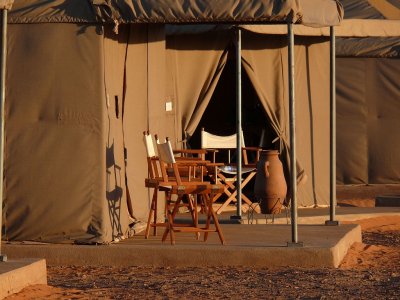
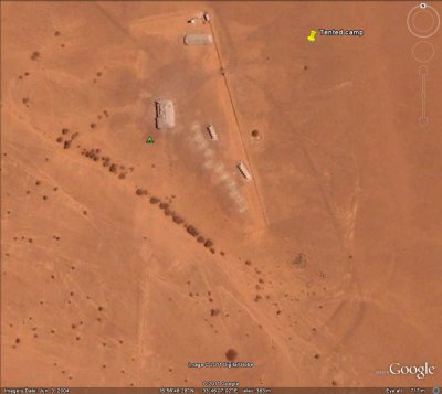 meroe tented camp1.jpg |
meroe4 render p ss crop 768.jpg |
 P1190725 p ss 768.jpg |
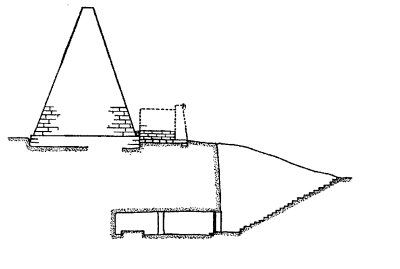 chamber dwg.bmp |
 P1190871.JPG |
 P1190831.JPG |
 P1190843.JPG |
 P1190833.JPG |
 P1190822.JPG |
 P1190849.JPG |
 P1190868.JPG |
 P1190850.JPG |
 P1190876 p ss 768.jpg |
 P1190877.JPG |
 P1190878.JPG |
 P1190940.JPG |
 P1190945.JPG |
 P1190948.JPG |
 P1190949.JPG |
 P1190946.JPG |
 P1190947.JPG |
 P1190944 p ss 768.jpg |
 P1190951.JPG |
lion crop p ss 768.jpg |
 P1190993.JPG |
 P1190994.JPG |
 P1190939.JPG |
 P1190997.JPG |
 P1190995.JPG |
 P1190941.JPG |
| comment | share |