


|
|
|
|
|
|
| Edward Hahn | profile | all galleries >> hobbysite >> September 2009 - Southern Utah | tree view | thumbnails | slideshow |
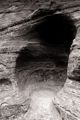
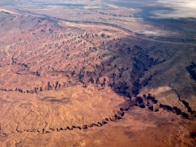 Coyote Gulch |
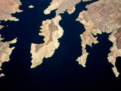 Lake Mead |
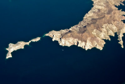 Dreams of the Aegean |
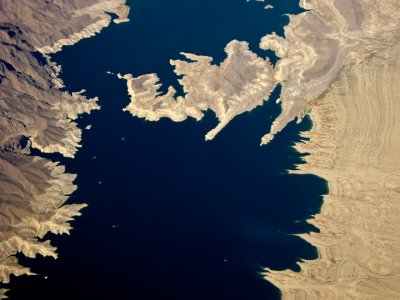 Evaporation |
 Sowats Canyon |
 North Canyon/Boulder Narrows |
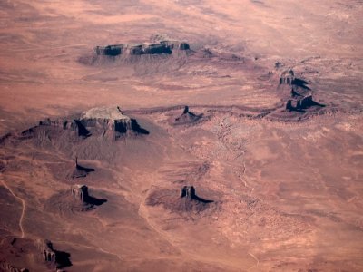 Monument Valley |
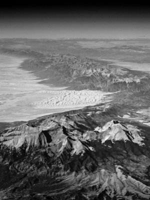 Great Sand Dunes |
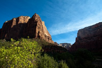
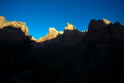 Sunrise at the Court of the Patriarchs |
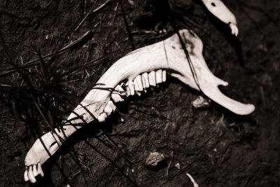
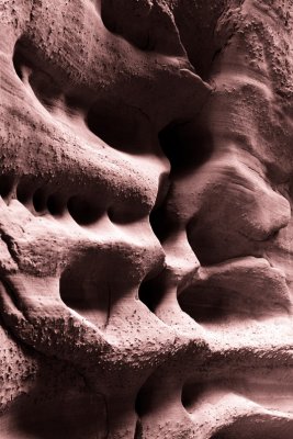
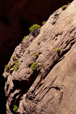
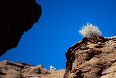
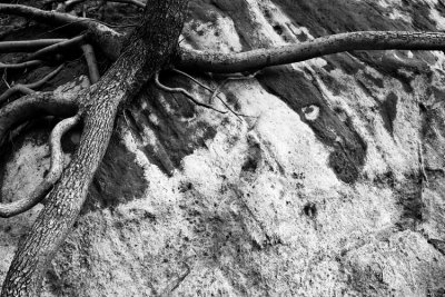 Clinging |
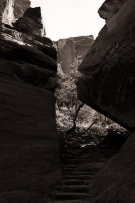
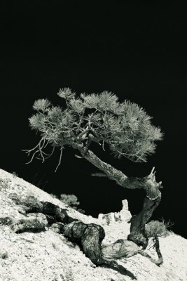
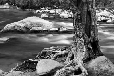 Surviving |
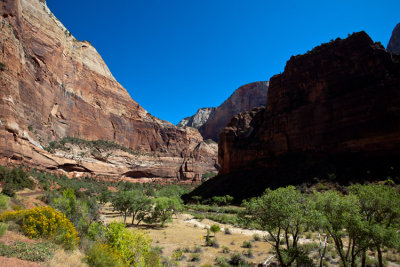
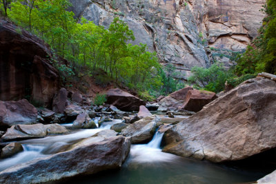 Temple of Sinawava |
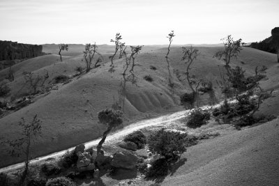
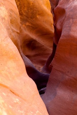
 Flow Hollow |
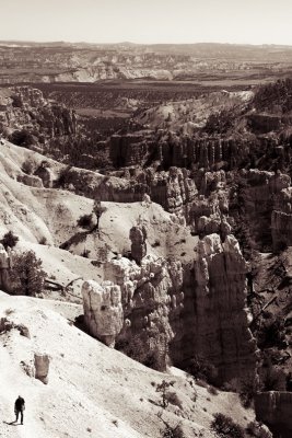
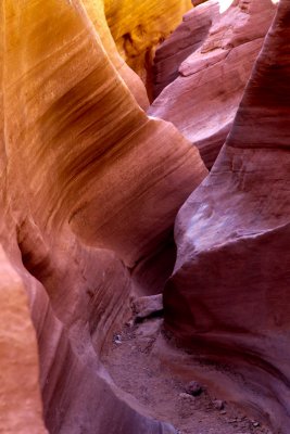
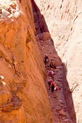
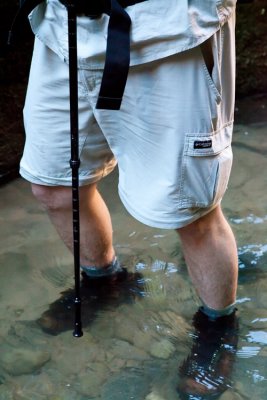 Walking |
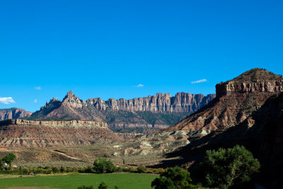
 Big Bend |
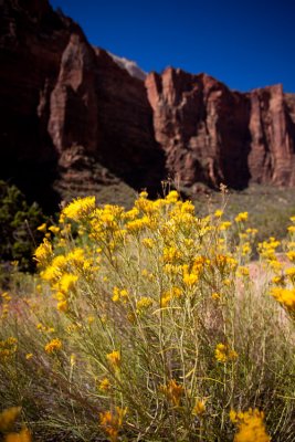 Wildflowers |
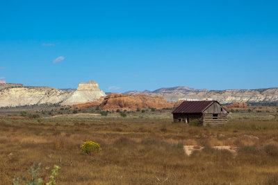
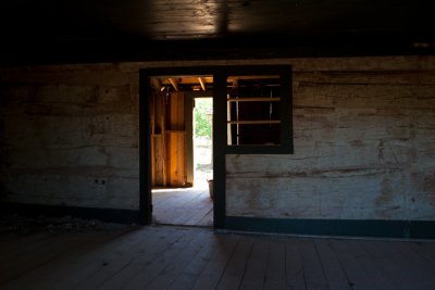 Homestead |
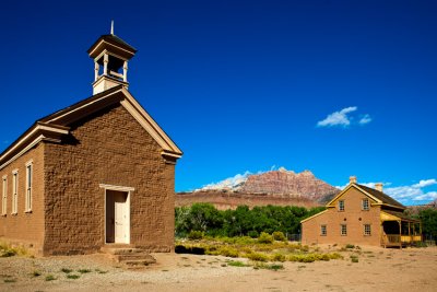 Grafton |
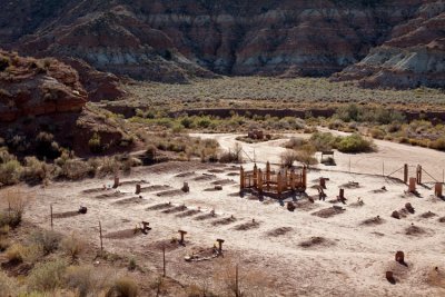 Grafton Cemetery |
 Wire Valley |
 Heaps Canyon |
 Lower Emerald Pool Falls |
 Path to the Grotto |
 Upper Emerald Pool |
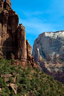 The Spearhead / Red Arch Mountain |
 Coyote Repast |
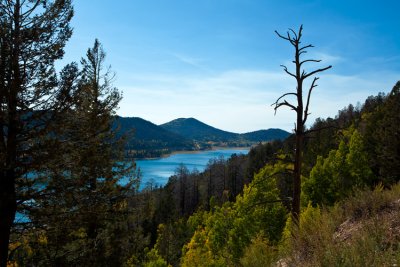 Navajo Lake |
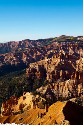
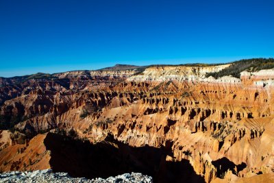 Cedar Breaks |
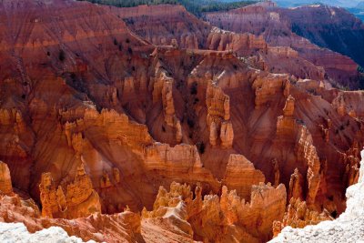 Jericho Ridge |
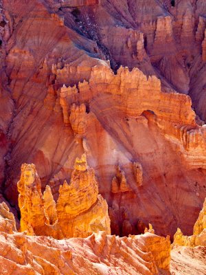 Arch Canyon |
 The Castle |
 Chessmen Ridge |
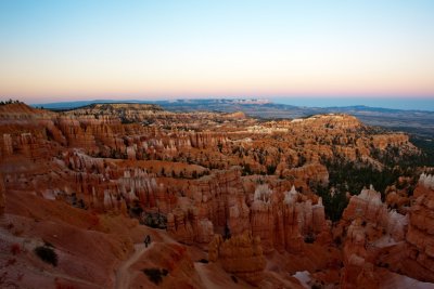
 Bryce Canyon Sunrise |
 White Pinnacles |
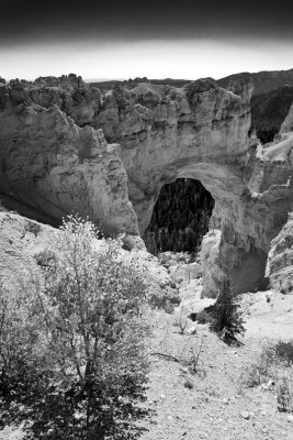
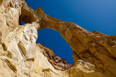
 Arch Sunrise |
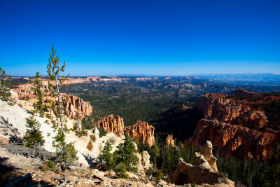
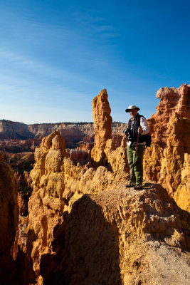 Curt Among the Hoodoos |
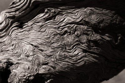
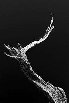
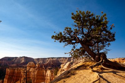 Bristlecone Pine |
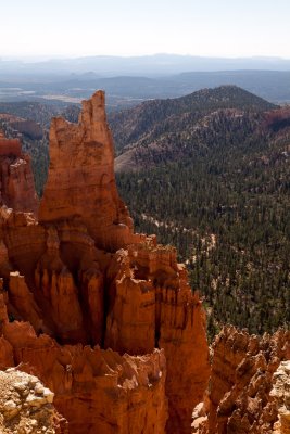
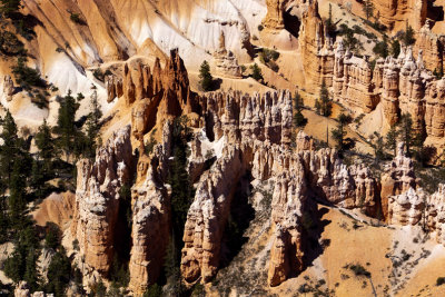
 Pink Tower |
 The Garden |
 Whatever It Takes |
 Gnarly Dude |
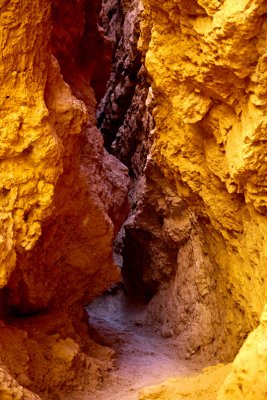 The Gully |
 Wall Street |
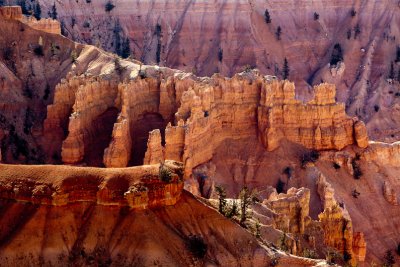
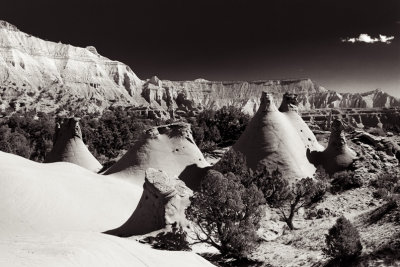
 Silent City |
 Sunset |
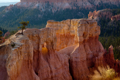
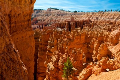
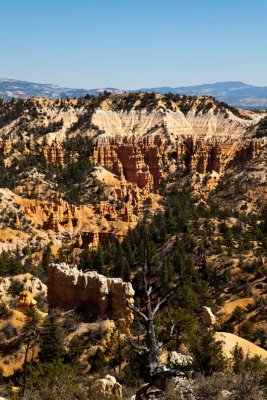
 Pink Cliffs |
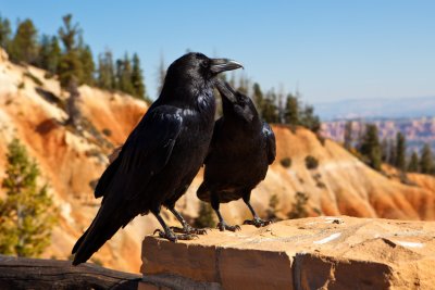 Ravens |
 Natural Bridge |
 Paria View |
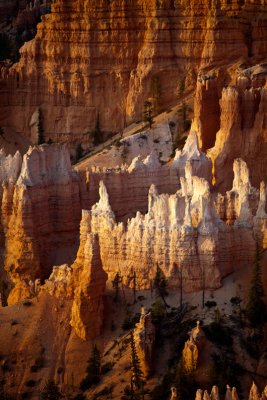
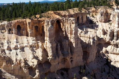 Wall of Windows |
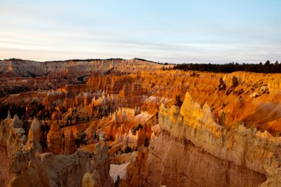
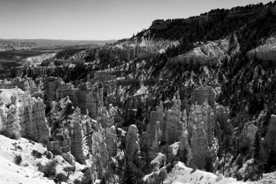
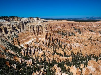 Bryce Amphitheatre |
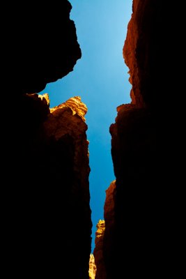
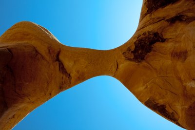
 Bifurcated |
 Fairyland Canyon |
 Colossi |
 Fairyland Hoodoos |
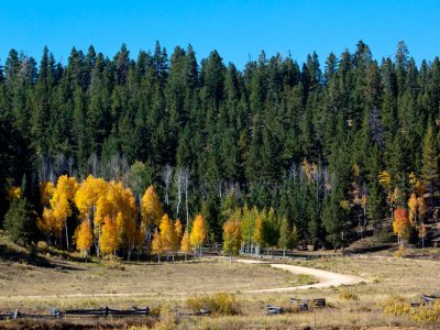 Aspen Lane |
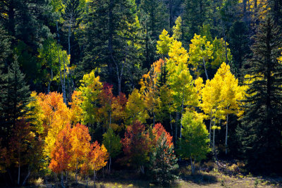 Aspens and Pines |
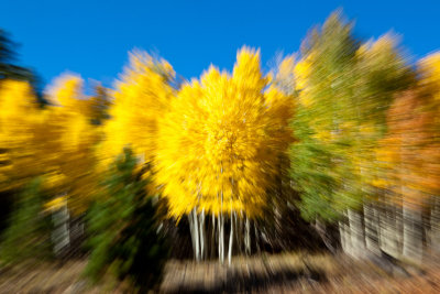 Candy Warp |
 Dry Fork |
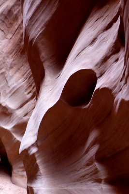
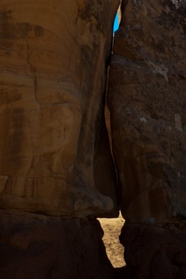
 Voids |
 Peekaboo Palette |
 Sedimentary |
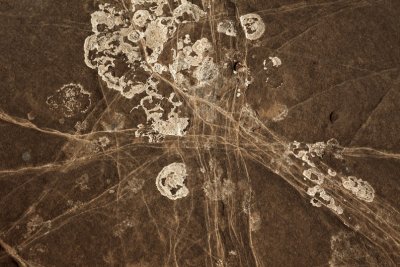 Nazca |
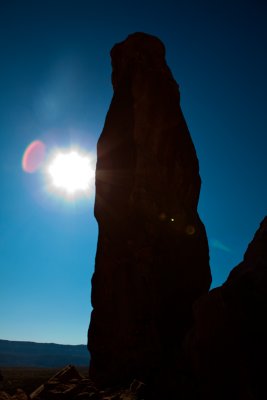 Lens Flare at Chimney Rock |
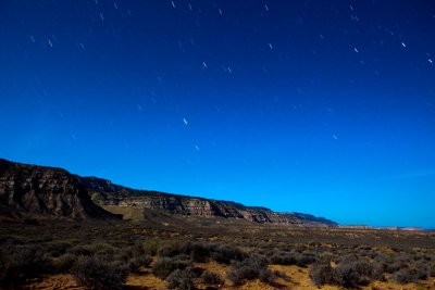 Moonscape 2 |
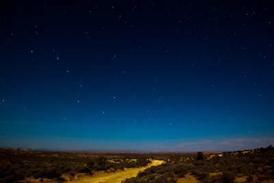 Moonscape 3 |
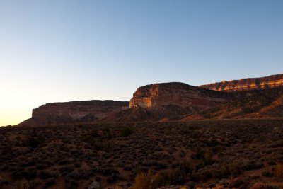
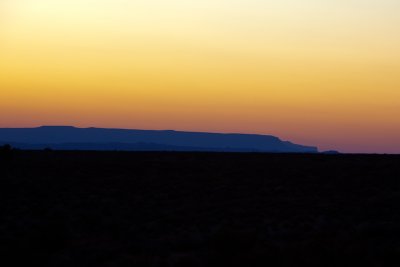 Glen Canyon Dawn |
 Campsite Sunrise |
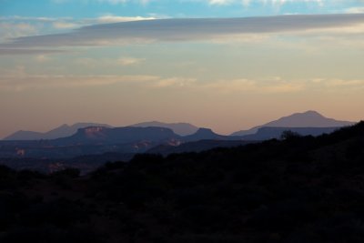 Henry Mountain Sunrise |
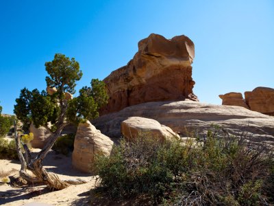
 Outcrop |
 Expedition |
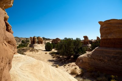
 Devil's Garden |
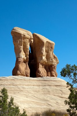 The Twins |
 Ceci N'est Pas Une Pipe |
 Metate Arch |
 La Ventana |
 Landscape for Dali |
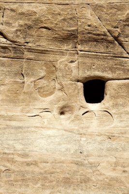
 Anasazi Room |
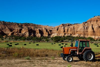 Baling |
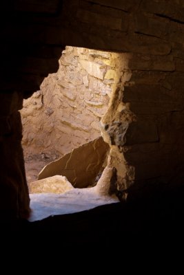
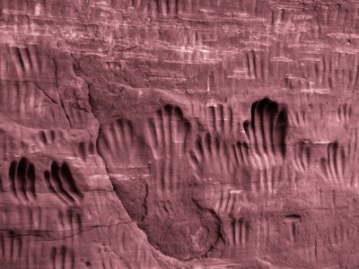 Wall Of Ancestors |
 Yearning |
 Torch |
 Kodachrome Basin |
 Grosvenor Arch |
 Seeing Double |
 Mesa View |
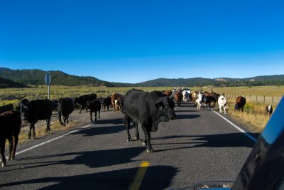 Drive |
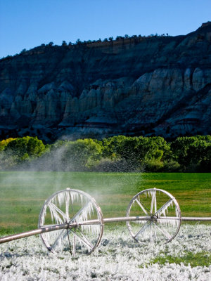 Frosty Irrigation |
| comment | share |
| John Fletcher | 09-Nov-2009 22:53 | |
| David Jolley | 07-Oct-2009 20:13 | |
| Judy Whitton | 04-Oct-2009 21:23 | |
| Guest | 04-Oct-2009 21:21 | |