


|
|
|
|
|
|
| Dick Osseman | profile | all galleries >> Amasya Turkey >> Along the river in Amasya | tree view | thumbnails | slideshow | map |
| previous page | pages 1 2 ALL | next page |
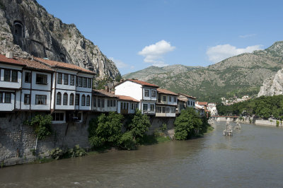 Amasya june 2011 7710.jpg |
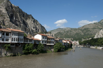 Amasya june 2011 7711.jpg |
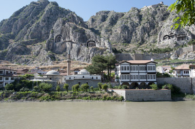 Amasya june 2011 7941.jpg |
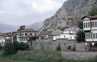
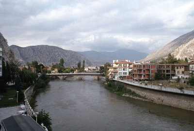
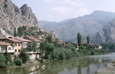
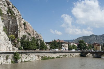
 Amasya view river |
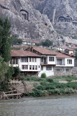
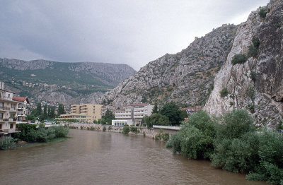
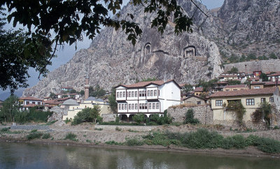
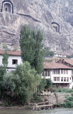
 Amasya 1993 083.jpg |
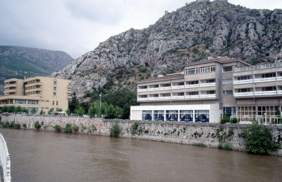
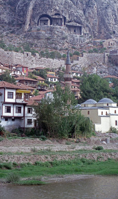
 Amasya 1993 081.jpg |
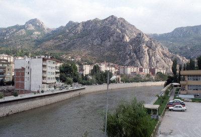
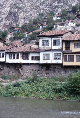
 Amasya 080.jpg |
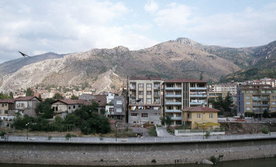
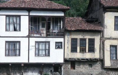
 Amasya 081.jpg |
 Amasya 082.jpg |
 Amasya 083.jpg |
 Amasya 084.jpg |
 Amasya 085.jpg |
 Amasya 086.jpg |
 Amasya 1993 003.jpg |
 Amasya 1993 004.jpg |
 Amasya 1993 008.jpg |
 Amasya 1993 009.jpg |
 Amasya 1993 010.jpg |
 Amasya 1993 061.jpg |
 Amasya 1993 062.jpg |
 Amasya 1993 064.jpg |
 Amasya 1993 078.jpg |
 Amasya 1993 082.jpg |
 Amasya 1993 079.jpg |
 Amasya 1993 080.jpg |
 Amasya 1993 084.jpg |
 Amasya 1993 086.jpg |
 Amasya 1993 130.jpg |
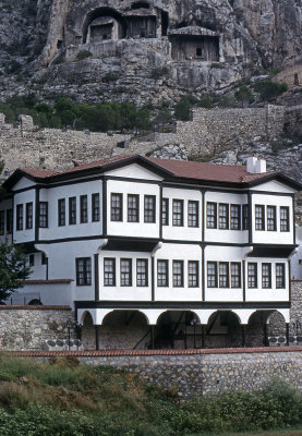
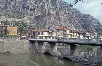
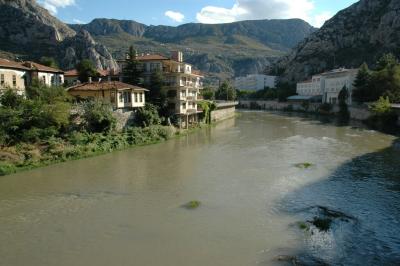 Amasya Yesil Irmak |
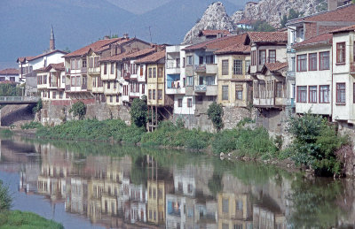
 Amasya june 2011 7549.jpg |
| previous page | pages 1 2 ALL | next page |
| comment | share |