photo sharing and upload picture albums photo forums search pictures popular photos photography help login
Type your message and click Add Comment
It is best to login or register first but you may post as a guest.
Enter an optional name and contact email address. Name
Name Email
help private comment
Don Boyd | profile | all galleries >> Places Photo Galleries >> Aerial Photos Gallery - if not in specific location galleries already tree view | thumbnails | slideshow

Aerial Photos Gallery - if not in specific location galleries already


Our Cape Canaveral - Space Coast aerial stock photos are located at https://pbase.com/airlinerphotos/aerials_spacecoast


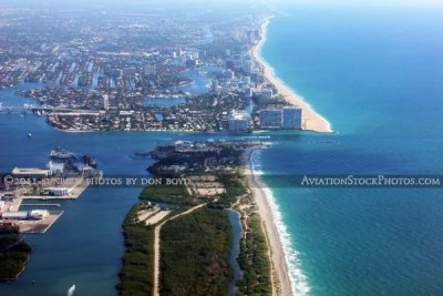
Broward County, Ft. Lauderdale and surrounding areas Aerial Photos Gallery - click on image to enter
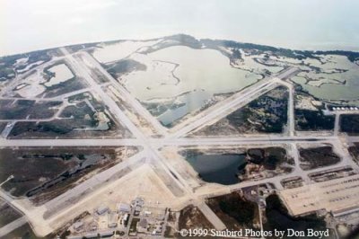
1999 - NAS Key West at Boca Chica, north of Key West
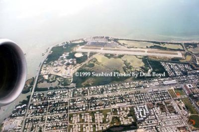
1999 - Key West International Airport
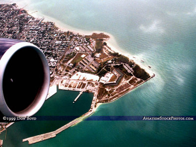
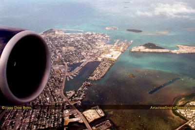
1999 - aerial view of the southern tip of Key West with the harbor, Ft. Zachary Taylor and NAS Key West Truman Annex
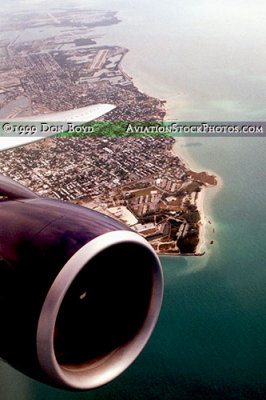
1999 - aerial view of the southern tip of Key West with airports in the background
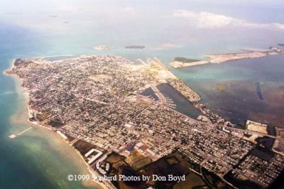
1999 - aerial view of Key West from the east
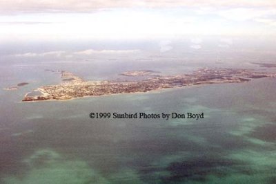
1999 - aerial photo of Key West
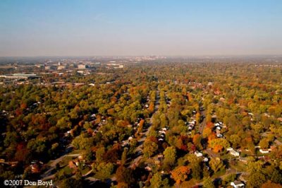
2007 - changing leaves with downtown Nashville in the background
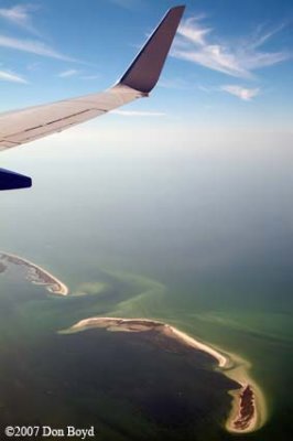
2007 - aerial view of Grassy Key and Hog Island, Florida, on the left side, un-named island on the right
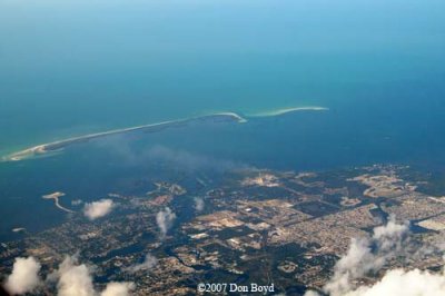
2007 - Tarpon Springs and Anclote Keys, Florida
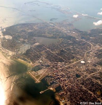
2007 - the southern portion of St. Petersburg, Florida
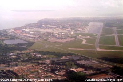
2008 - the northern part of MacDill AFB just south of Tampa
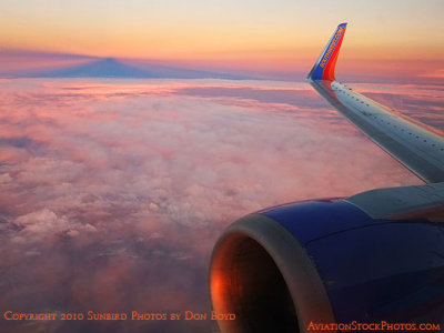
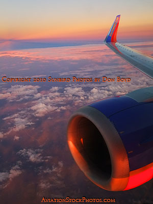
2010 - nicely lit clouds shortly before sunset while inflight
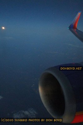
2010 - the Harvest Moon rising at the same time the sun was setting while inflight
2010 - the Harvest Moon rising as seen from Southwest flight 2380 from FLL to BNA
2010 - the Harvest Moon rising as seen from Southwest flight 2380 from FLL to BNA (composite image)
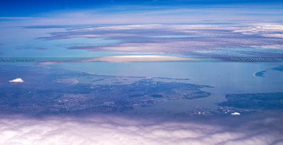
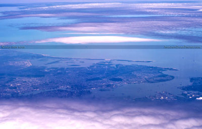
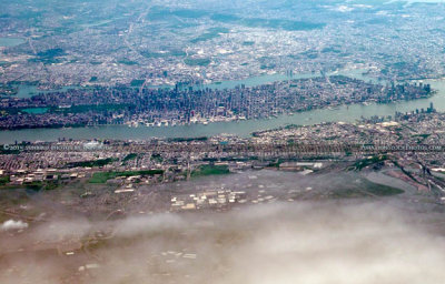
2015 - aerial photo of the New York City area from north to south
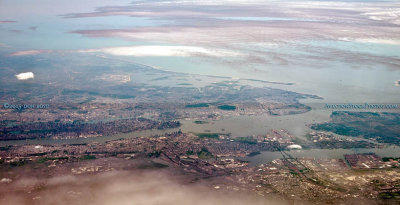
2015 - aerial photo of the New York City area cropped
2015 - aerial photo of eastern New Jersey and the New York City area
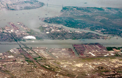
2015 - aerial photo of the Newark International Airport area from the west
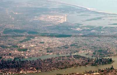
2015 - aerial photo of lower Manhattan with JFK International Airport in the background
2015 - aerial photo of eastern New Jersey and Manhattan