


|
|
|
|
|
|
| Diana Bradshaw | profile | all galleries >> Oregon >> Malheur | Steens Mountain | tree view | thumbnails | slideshow |
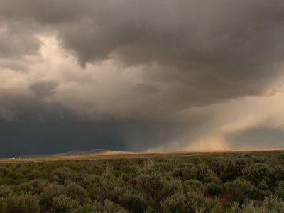
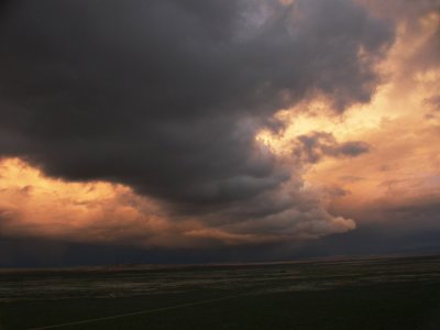
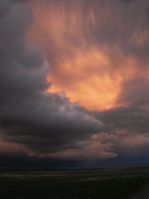
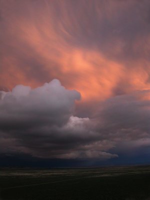
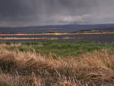
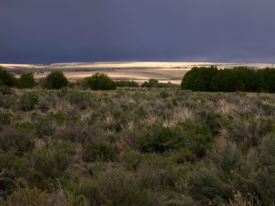
Malheur National Wildlife Refuge is located 30 miles south of Burns, Oregon, in Harney County. It is one of the first and largest wildlife refuges in the system. It lies in a basin surrounded by rimrock and is a wetland providing habitat for migrating and nesting waterfowl. Steens Mountain is a fault-block mountain rising to over 10,000 feet, nearly as high as Mt. Hood. The region is high desert so the base is about 4500 feet. Since it is a Basin and Range fault-block, it has a rather gradual incline on the west side and a precipitous scarp to the east. The mountain was carved by glaciers during the last ice age so there are long U-shaped valleys from near the crest down to the valley floor. The Donner und Blitzen River (Thunder and Lightning)flows from one of these glacier-carved valleys and flows through and provides water for Malheur NWR. These photos were taken during a very stormy May. |
| previous page | pages 1 2 ALL | next page |
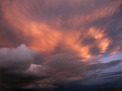
 Clouds, Malheur Field Station |
 Clouds, Malheur Field Station |
 Clouds, Malheur Field Station |
 Clouds, Malheur Field Station |
 Clouds, Malheur Field Station |
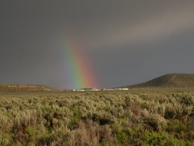 Rainbow, Malheur Field Station |
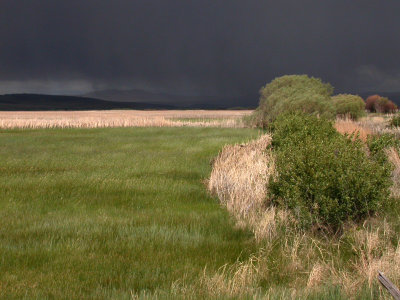 Storm, Buena Vista |
 Storm, Buena Vista |
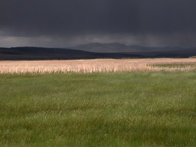
 Storm, Buena Vista |
 Storm, P Ranch |
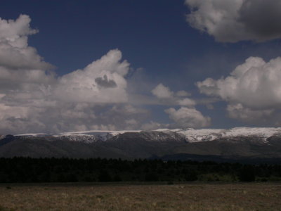 Steens Mountain |
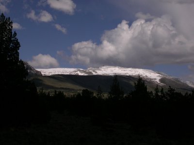 Steens Mountain |
| previous page | pages 1 2 ALL | next page |
| comment | share |
| Guest | 22-Jul-2008 07:24 | |