


|
|
|
|
|
|
| clamflats | profile | all galleries >> Mohawk Trail, Mass. >> galleries: Cold River Bridge to Drury >> Summary gallery: Cold River Bridge to Drury before 1930 | tree view | thumbnails | slideshow |
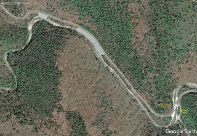 Cold River Glen map |
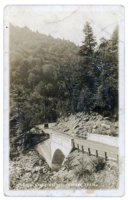 Cold River Bridge, Mohawk Trail. |
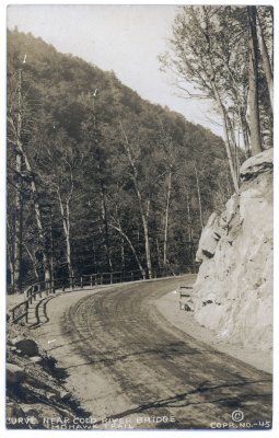 Curve near Cold River Bridge Mohawk Trail. Copr. No.-45. |
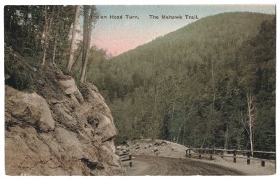 Indian Head Turn. The Mohawk Trail. |
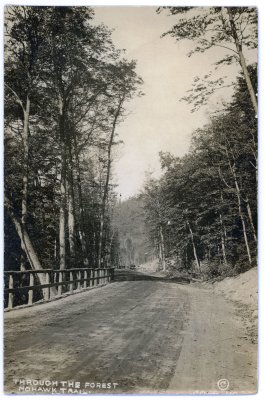 17 Through the Forest Mohawk Trail. Copr. No. 23 |
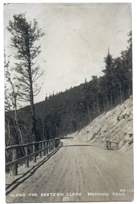 Along the Eastern Slope Mohawk Trail No-10 |
 Mohawk Trail above Cold River bridge |
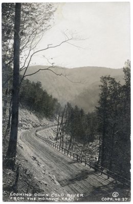 Looking Down Cold River from the Mohawk Trail. Copr. No. 37 |
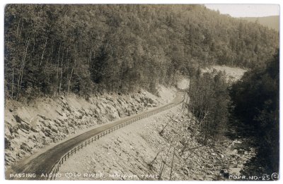 Passing along Cold River Mohawk Trail Copr. No.-25 |
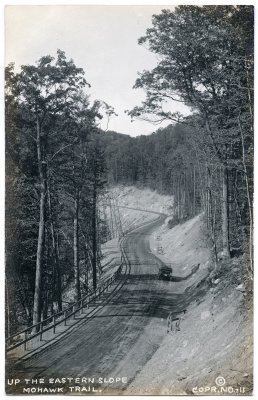 Up the Eastern Slope Mohawk Trail. Copr. No.-11 |
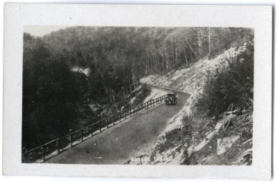
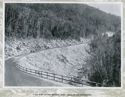 A Big Turn of the Mohawk Trail through the Berkshires. - A Trip over the Mohawk Trail (Lenhoff) p.12 |
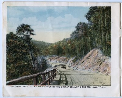 Showing One of the Big Curves in the Distance along the Mohawk Trail. |
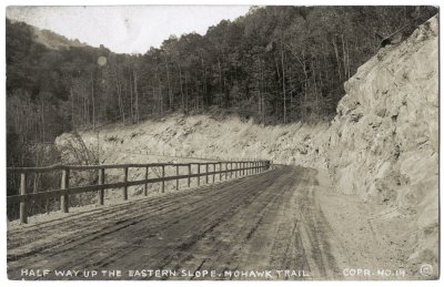 Half Way up the Eastern Slope. Mohawk Trail Copr. No. 14 |
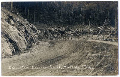 Big Bend � Eastern Slope, Mohawk Trail |
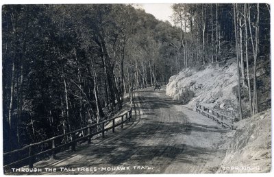 Through the Tall Trees - Mohawk Trail. Copr. No. - 41 |
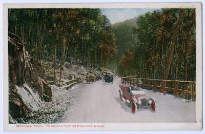 Mohawk Trail, through the Berkshire Hills. |
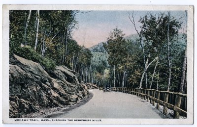 Mohawk Trail, Mass., through the Berkshire Hills. |
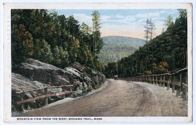 Mountain View from the West, Mohawk Trail, Mass. |
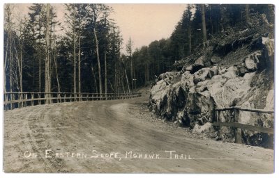 On Eastern Slope, Mohawk Trail. |
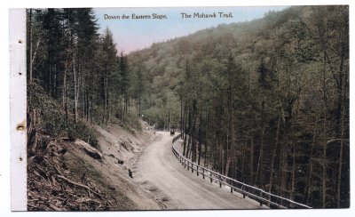 Down the Eastern Slope. The Mohawk Trail. |
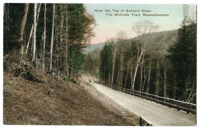 Near the Top of Eastern Slope The Mohawk Trail, Massachusetts |
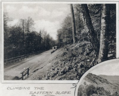 Climbing the Eastern Slope |
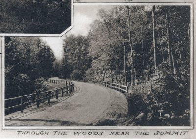 Through the Woods near the Summit |
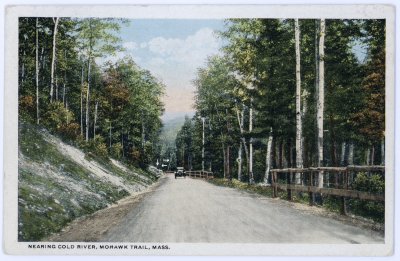 Nearing Cold River, Mohawk Trail, Mass. |
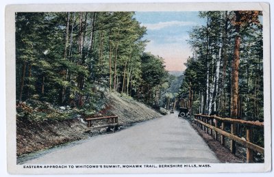 Eastern Approach to Whitcomb's Summit, Mohawk Trail, Berkshire Hills, Mass. |
| comment | share |