


|
|
|
|
|
|
| Carol Rawlings | profile | all galleries >> Road Trips >> Road Trip 2008 - Nevada, Death Valley, Southwest Utah | tree view | thumbnails | slideshow |
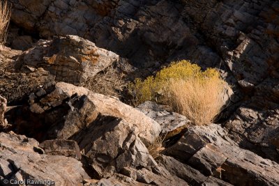
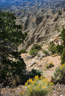
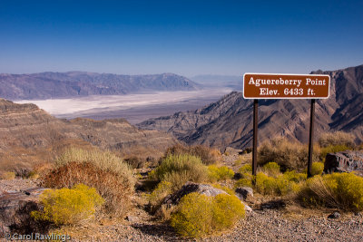 Aguereberry Point, overlooking Death Valley |
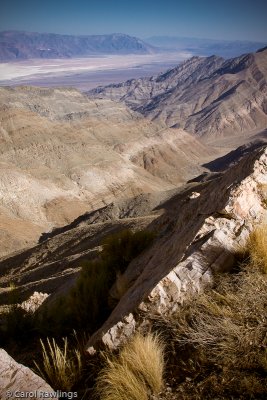 Aguereberry Point, overlooking Death Valley - Badwater in the distance |
 Aguereberry Point, overlooking Death Valley - Badwater in the distance |
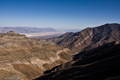
 Aguereberry Point, overlooking Death Valley - looking northeast |
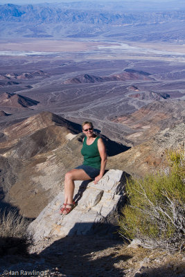
 Aguereberry Point, overlooking Death Valley |
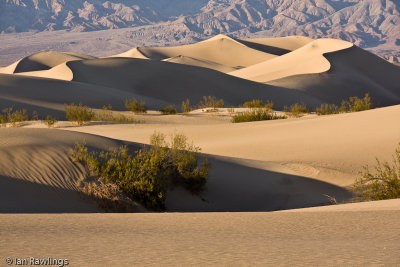
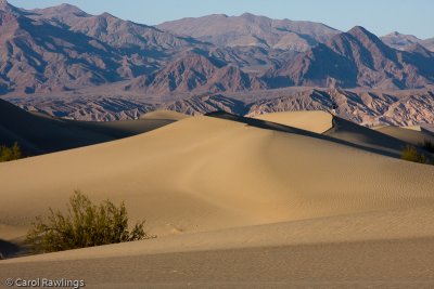
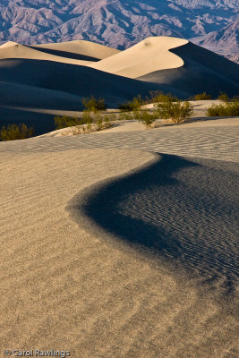
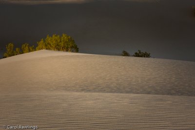
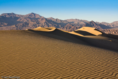
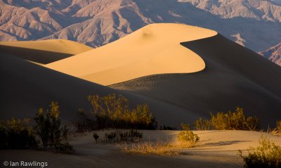
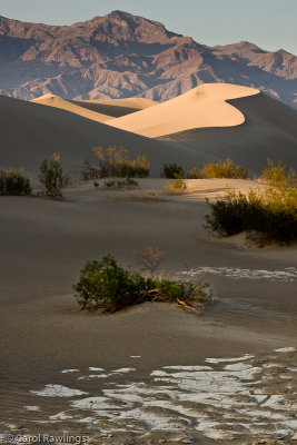
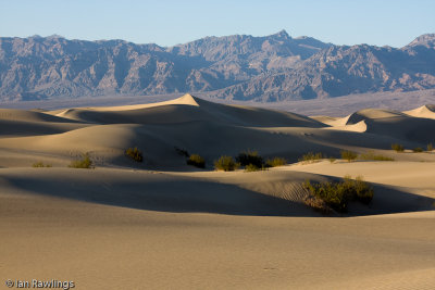 Mesquite Dunes at Stove Pipe Wells |
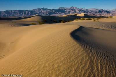
 Mesquite Dunes at Stove Pipe Wells |
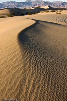
 Mesquite Dunes at Stove Pipe Wells |
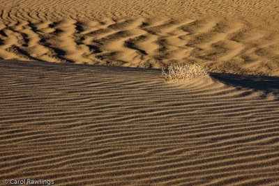
 Mesquite Dunes at Stove Pipe Wells |
 Mesquite Dunes at Stove Pipe Wells |
 Mesquite Dunes at Stove Pipe Wells |
 Mesquite Dunes at Stove Pipe Wells |
 Mesquite Dunes at Stove Pipe Wells |
 Mesquite Dunes at Stove Pipe Wells |
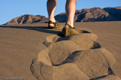
 Mesquite Dunes at Stove Pipe Wells |
 Mesquite Dunes at Stove Pipe Wells |
 Mesquite Dunes at Stove Pipe Wells |
 Mesquite Dunes at Stove Pipe Wells |
 Mesquite Dunes at Stove Pipe Wells |
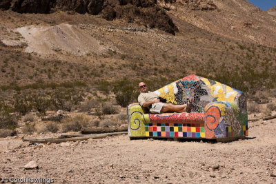 Relaxing in Rhyolite |
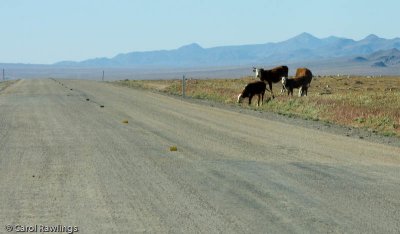
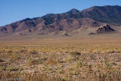
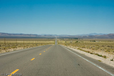 Between Beatty and Tonopah |
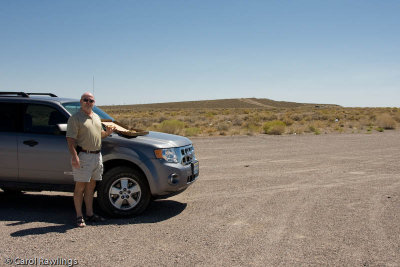 Between Beatty and Tonopah - lunch stop |
 Tonopah - cheap eats! |
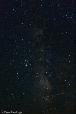 Milky Way in Tonopah |
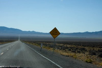
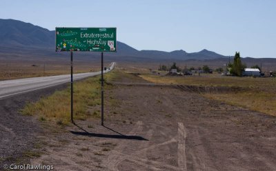
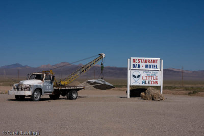
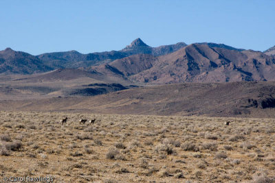 Extraterrestrial Highway between Warm Springs and Caliente, Nevada |
 Extraterrestrial Highway between Warm Springs and Caliente, Nevada |
 Extraterrestrial Highway between Warm Springs and Caliente, Nevada |
 Extraterrestrial Highway between Warm Springs and Caliente, Nevada |
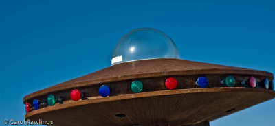
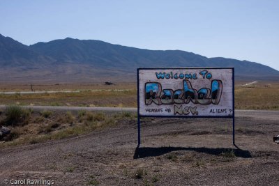
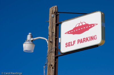
 Town of Rachel on the Extraterrestrial Highway between Warm Springs and Caliente, Nevada |
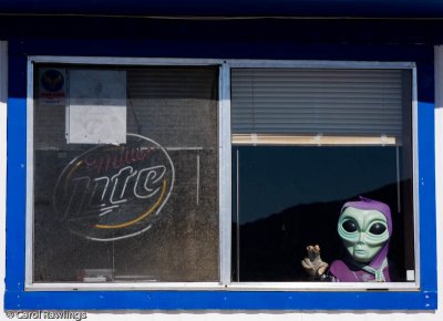
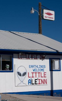
 Town of Rachel on the Extraterrestrial Highway between Warm Springs and Caliente, Nevada |
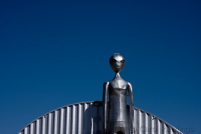
 Town of Rachel on the Extraterrestrial Highway between Warm Springs and Caliente, Nevada |
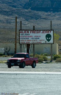
 Town of Rachel on the Extraterrestrial Highway between Warm Springs and Caliente, Nevada |
 Town of Rachel on the Extraterrestrial Highway between Warm Springs and Caliente, Nevada |
 Town of Rachel on the Extraterrestrial Highway between Warm Springs and Caliente, Nevada |
 Town of Rachel on the Extraterrestrial Highway between Warm Springs and Caliente, Nevada |
 Extraterrestrial Highway between Warm Springs and Caliente, Nevada |
 Extraterrestrial Highway between Warm Springs and Caliente, Nevada |
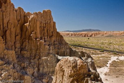
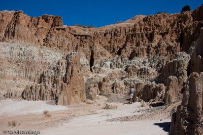
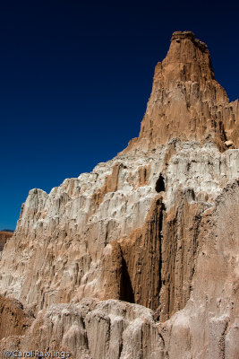
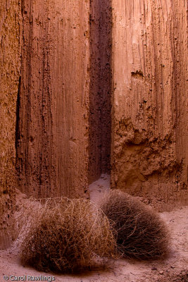
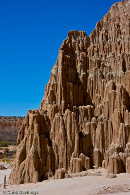
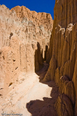
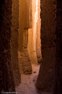
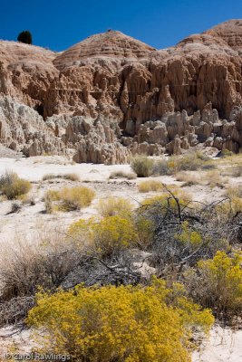 Cathedral Gorge State Park, Nevada |
 Cathedral Gorge State Park, Nevada |
 Cathedral Gorge State Park, Nevada |
 Cathedral Gorge State Park, Nevada |
 Cathedral Gorge State Park, Nevada |
 Cathedral Gorge State Park, Nevada |
 Cathedral Gorge State Park, Nevada |
 Cathedral Gorge State Park, Nevada |
 Cathedral Gorge State Park, Nevada |
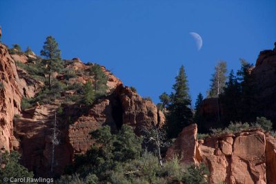
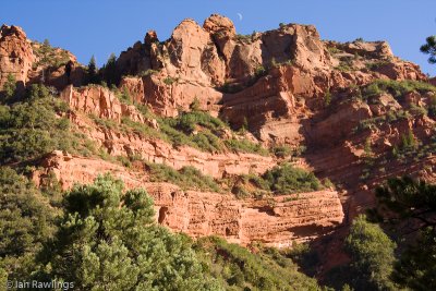
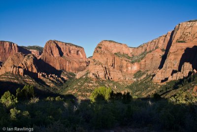
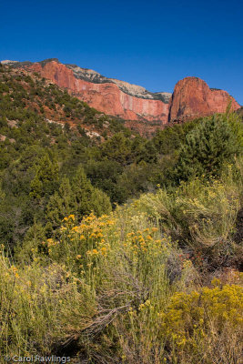 Kolob Canyon - West side of Zion National Park |
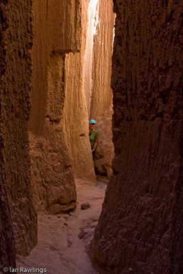
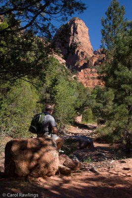
 Taylor Creek Trail in Kolob Canyon - West side of Zion National Park |
 Taylor Creek Trail in Kolob Canyon - West side of Zion National Park |
 Taylor Creek Trail in Kolob Canyon - West side of Zion National Park |
 Taylor Creek Trail in Kolob Canyon - West side of Zion National Park |
 Taylor Creek Trail in Kolob Canyon - West side of Zion National Park |
 Taylor Creek Trail in Kolob Canyon - West side of Zion National Park |
 Taylor Creek Trail in Kolob Canyon - West side of Zion National Park |
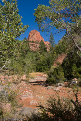
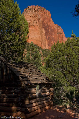
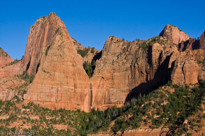 Kolob Canyon - West side of Zion National Park |
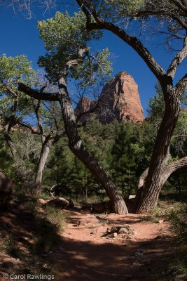
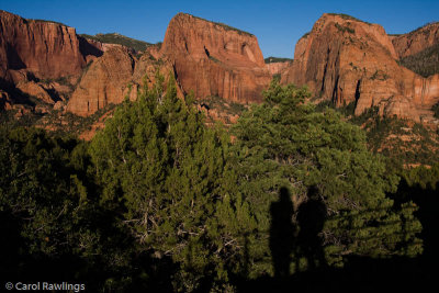 Kolob Canyon - West side of Zion National Park |
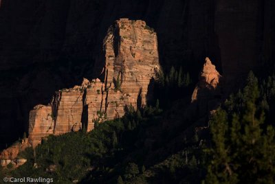 Kolob Canyon - West side of Zion National Park |
 Kolob Canyon - West side of Zion National Park |
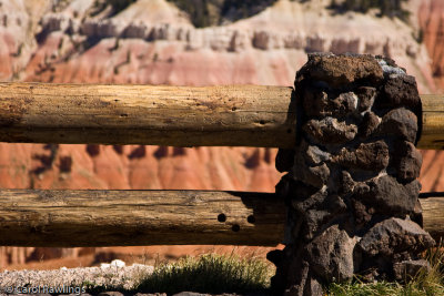
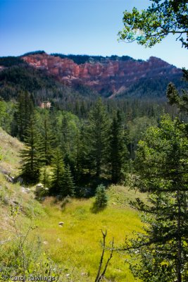 Hwy 14 between Cedar City and Cedar Breaks National Monument, Utah |
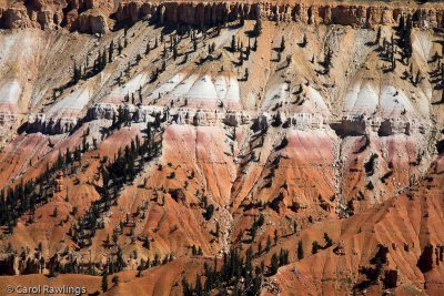
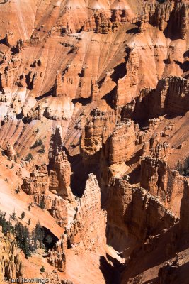
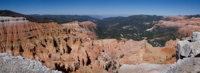
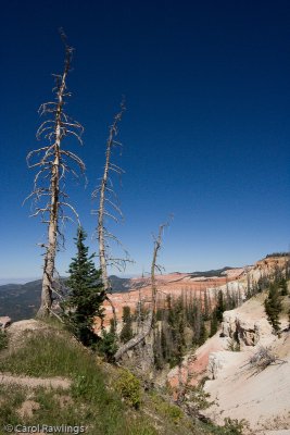
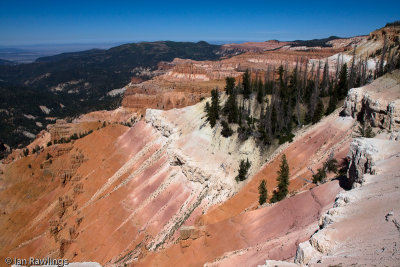
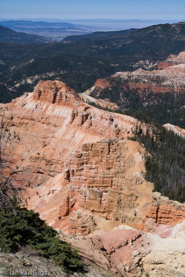
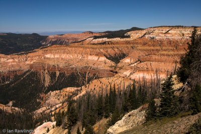
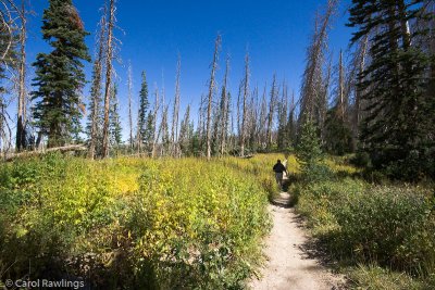
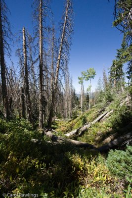
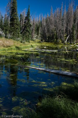
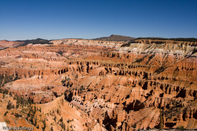 Cedar Breaks National Monument, Utah |
 Cedar Breaks National Monument, Utah |
 Cedar Breaks National Monument, Utah |
 Cedar Breaks National Monument, Utah |
 Cedar Breaks National Monument, Utah |
 Cedar Breaks National Monument, Utah |
 Cedar Breaks National Monument, Utah |
 Cedar Breaks National Monument, Utah |
 Cedar Breaks National Monument, Utah |
 Cedar Breaks National Monument, Utah |
 Cedar Breaks National Monument, Utah |
 Cedar Breaks National Monument, Utah |
 Cedar Breaks National Monument, Utah |
 Cedar Breaks National Monument, Utah |
 Cedar Breaks National Monument, Utah |
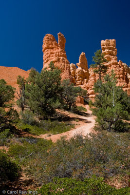 Red Rock Park, Utah |
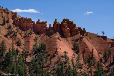 Red Rock Park |
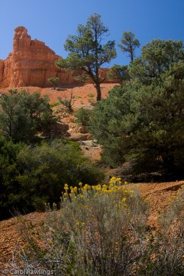 Red Rock Park, Utah |
 Red Rock Park, Utah |
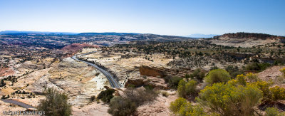
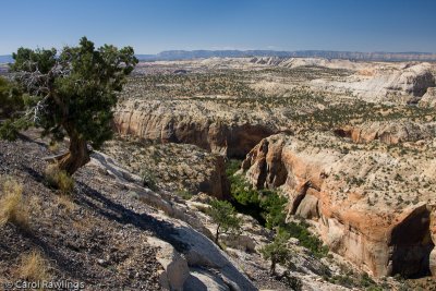
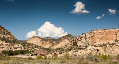
 Along Hwy 12, between Red Rock Park and Grand Staircase Escalante |
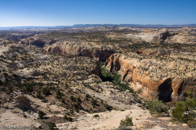
 40D-2407 w.jpg |
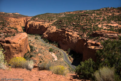
 40D-2427 w.jpg |
 XSi-0337 w.jpg |
 40D-2441 w.jpg |
 40D-2461 w.jpg |
 On the trail to Lower Calf Creek Falls |
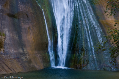
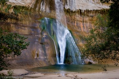
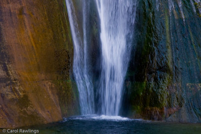
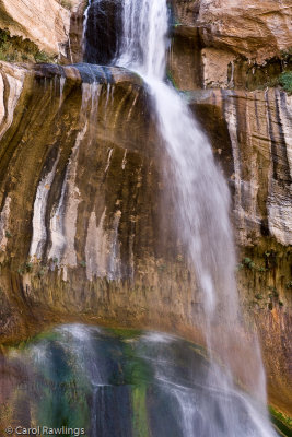
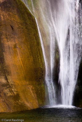
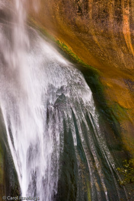
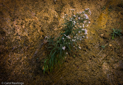
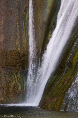
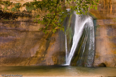
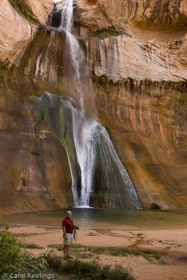
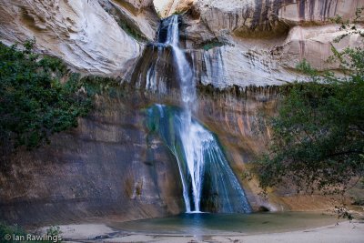 Lower Calf Creek Falls, GSENM |
 Lower Calf Creek Falls, GSENM |
 Lower Calf Creek Falls, GSENM |
 Lower Calf Creek Falls, GSENM |
 Lower Calf Creek Falls, GSENM |
 Lower Calf Creek Falls, GSENM |
 Lower Calf Creek Falls, GSENM |
 Lower Calf Creek Falls, GSENM |
 Lower Calf Creek Falls, GSENM |
 Lower Calf Creek Falls, GSENM |
 Lower Calf Creek Falls, GSENM |
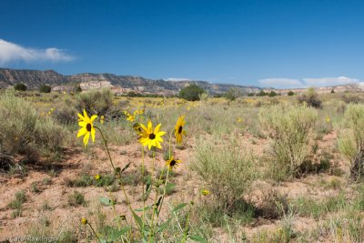
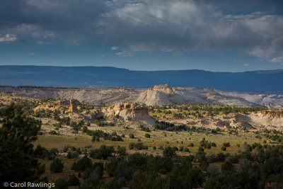 Escalante area landscape |
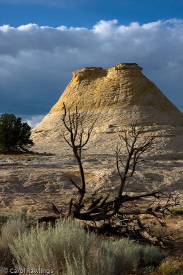 Navaho sandstone hill, checkerboard pattern |
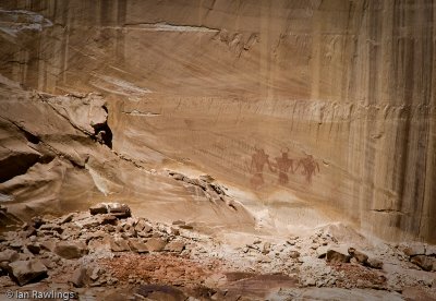
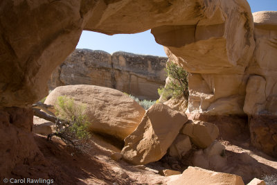 Metate arch at Devil's Garden near Escalante |
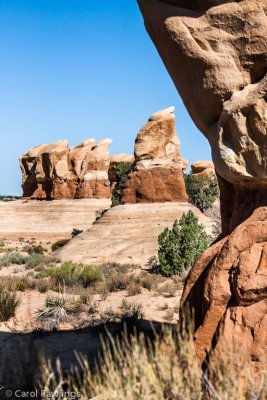 Hoodoos |
 More hoodoos |
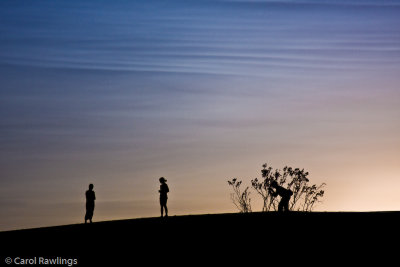
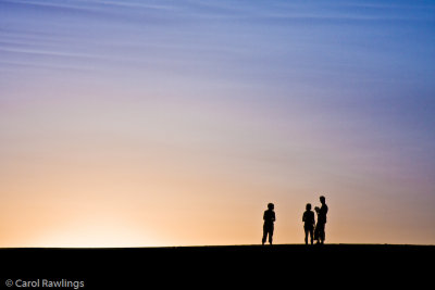
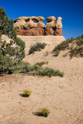
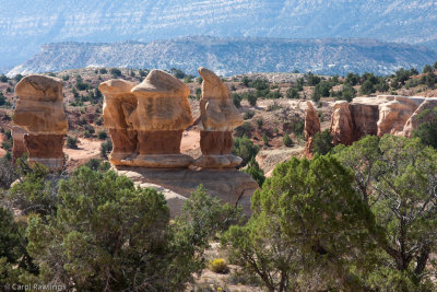 The Four Wise Men |
 Hole in the Rock Road, near Escalante |
 Slot Canyons Inn |
 40D-2640.jpg |
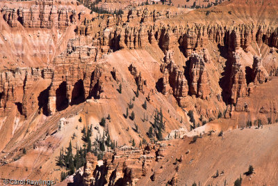
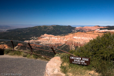
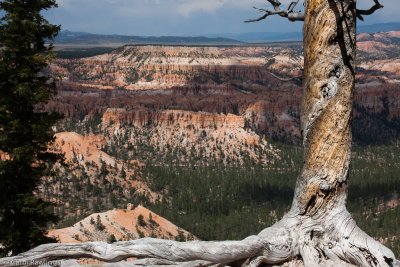
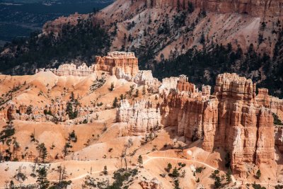
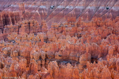
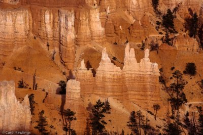
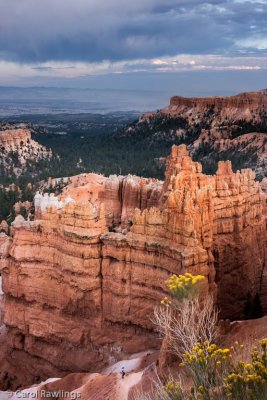
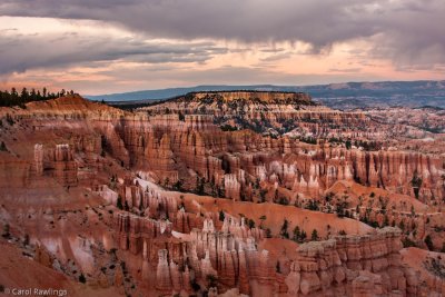
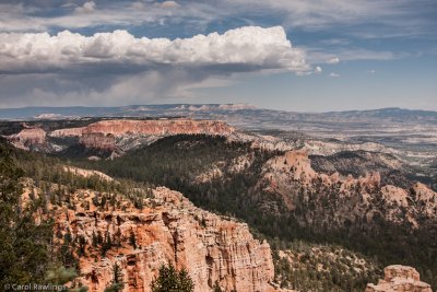 Bryce Canyon |
 Bryce Canyon |
 Bryce Canyon |
 Bryce Canyon |
 Bryce Canyon |
 Bryce Canyon |
 Bryce Canyon |
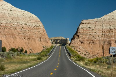
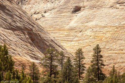 Checkerboard Mesa, Zion NP |
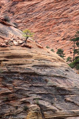 Tenuous hold |
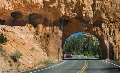
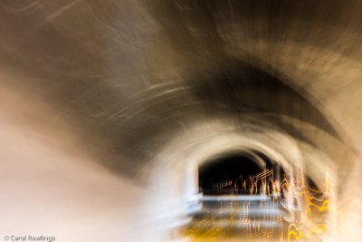 Tunnel Vision |
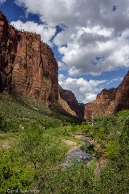
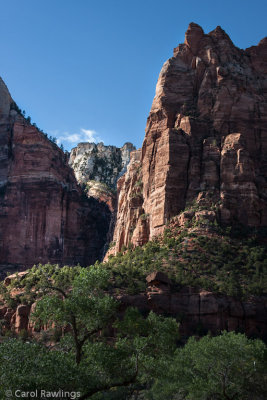 Zion National Park |
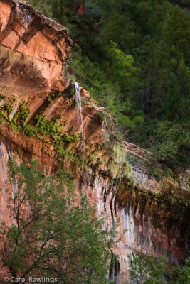 Trickle into the Emerald Pool |
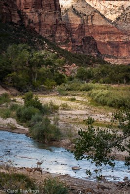 Deer along the Virgin River |
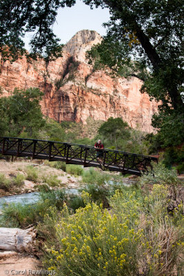 Footbridge over the Virgin River |
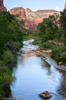 Virgin River |
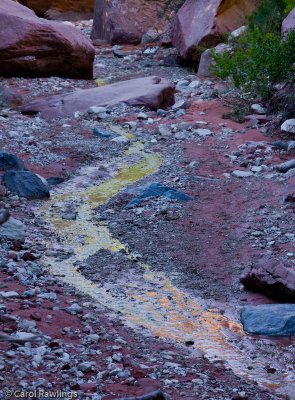
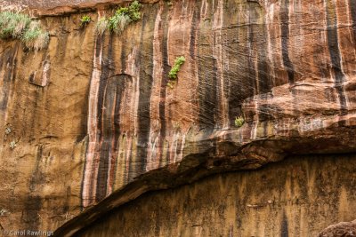 Desert Varnish |
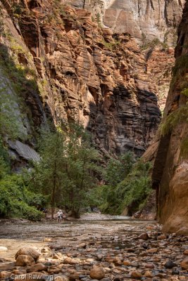 Hikers in Zion NP |
 Zion National Park |
 Room with a view |
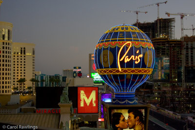 Looking south from the Eiffel Tower restaurant |
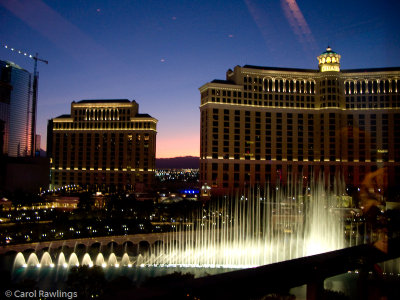 Bellagio view from the Eiffel Tower restaurant |
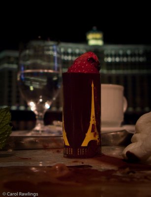 Dessert (what was left when I thought to take a photo) |
| comment | share |
| Russell Tunny | 19-Nov-2013 12:40 | |