


|
|
|
|
|
|
| Brian Dickson | profile | all galleries >> Galleries >> Utah Backpacks 2019 | tree view | thumbnails | slideshow |
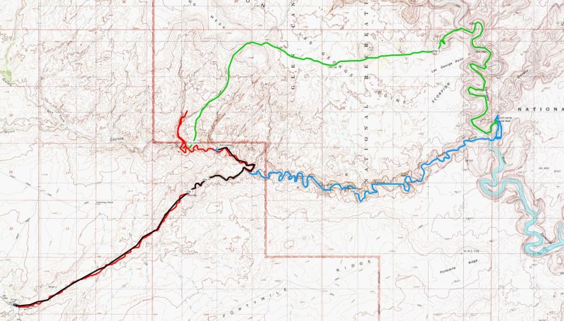
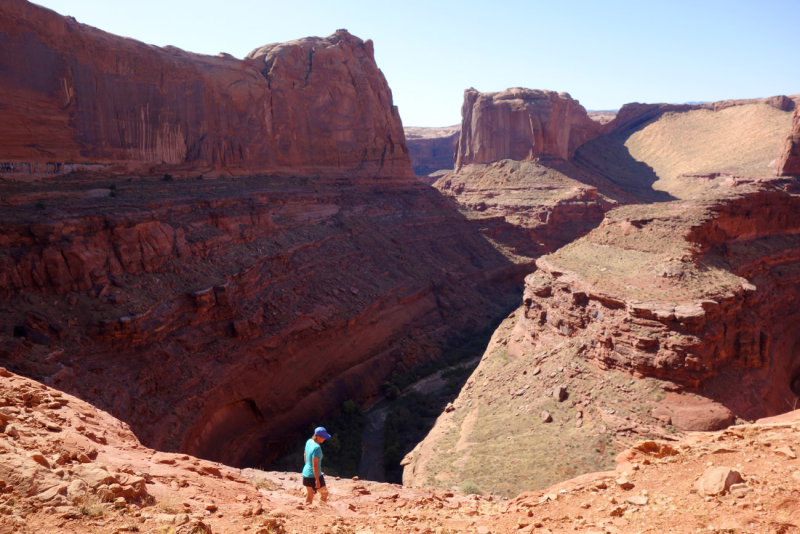
 1st HIKE Map Escalante -The Gulch-Boulder Creek |
 We drove through Nevada via the Extraterrestrial Highway and stopped at the Little Ale Inn Rachel! |
 Little Ale Inn Rachel! |
 Little Ale Inn Rachel! |
 Little Ale Inn Rachel! |
 1st HIKE Day 1 Setting off down the Escalante in the evening towards Phipps canyon to camp |
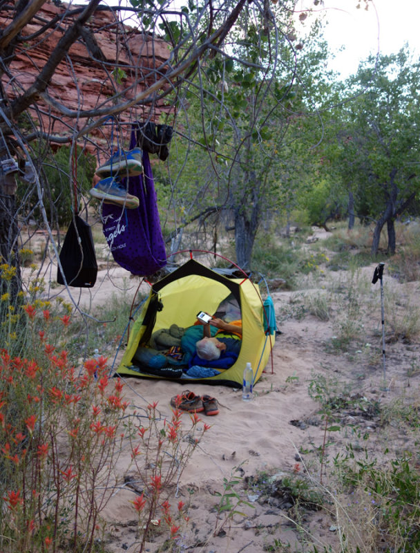 September 2019 Escalante area - Phipps camp |
 Day 2 We hiked back down the Escalante past Boulder Creek confluence exiting on an old cattle trail |
 Climbing out of the Escalante to a line shack |
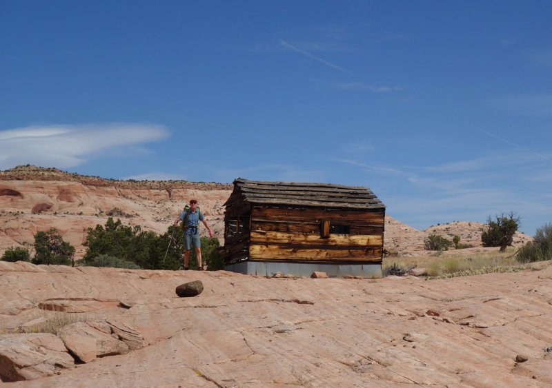 The line shack used by cattle ranchers |
 We then hiked cross country south east towards The Gulch (another canyon feeding into the Escalante) |
 Crossing south east to The Gulch |
 We descended another old cattle trail to The Gulch |
 We found The Gulch to be unexpectedly dry so we hiked down canyon to The Escalante for water |
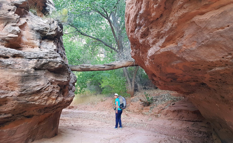
 Some cool huge alcoves heading up The Gulch |
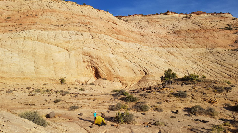
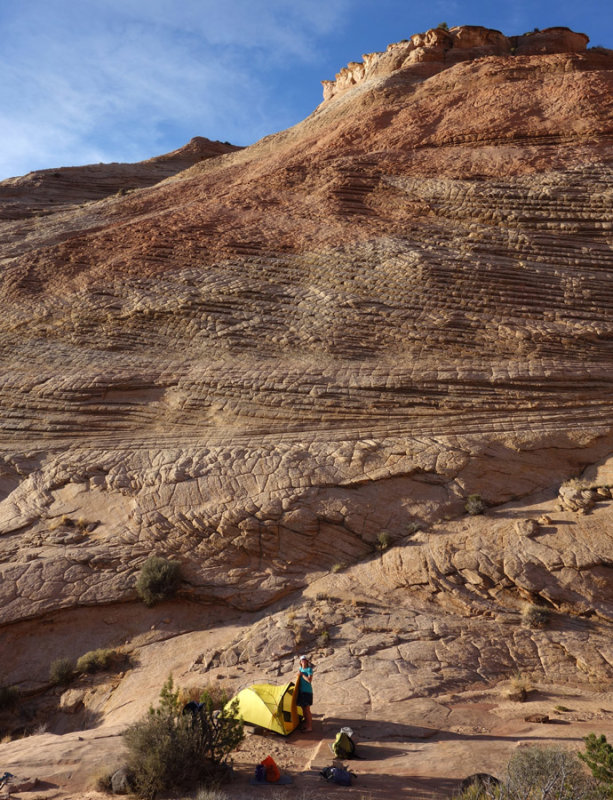
 September 2019 Escalante area -We scrambled out of The Gulch to camp on rock slabs above |
 September 2019 Escalante area -DAY 3 Morning light on our camp above The Gulch |
 Further up The (still dry) Gulch in the morning |
 We found a scrambly exit west from The Gulch before a difficult dryfall |
 Above The Gulch |
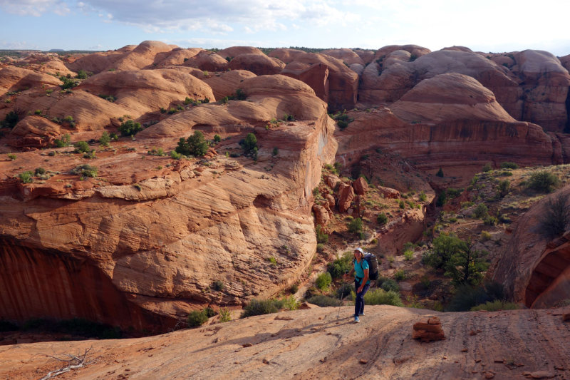 Above The Gulch- heading parallel to the canyon looking for another scramble to descend back in after the difficult dryfall |
 We found the descent but backed off as it looked to dangerous. Maybe in ascent it might have been fine. |
 Some cool slabs around here |
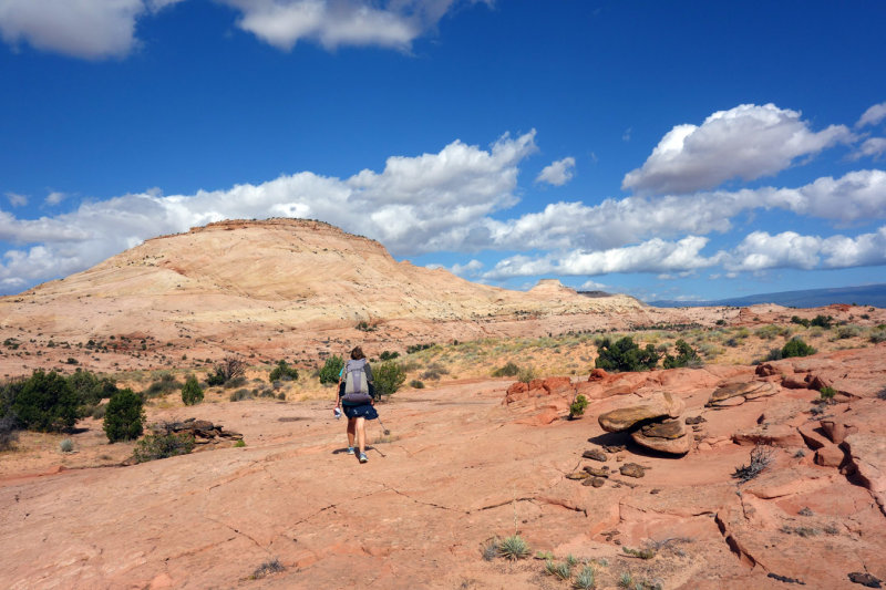
 We next crossed Bringham Tea Bench north west heading towards Boulder Creek |
 Martina's cactus and juniper skirt safety pin |
 Lovely slickrock on Bringham Tea Bench just before turning west towards Boulder Creek |
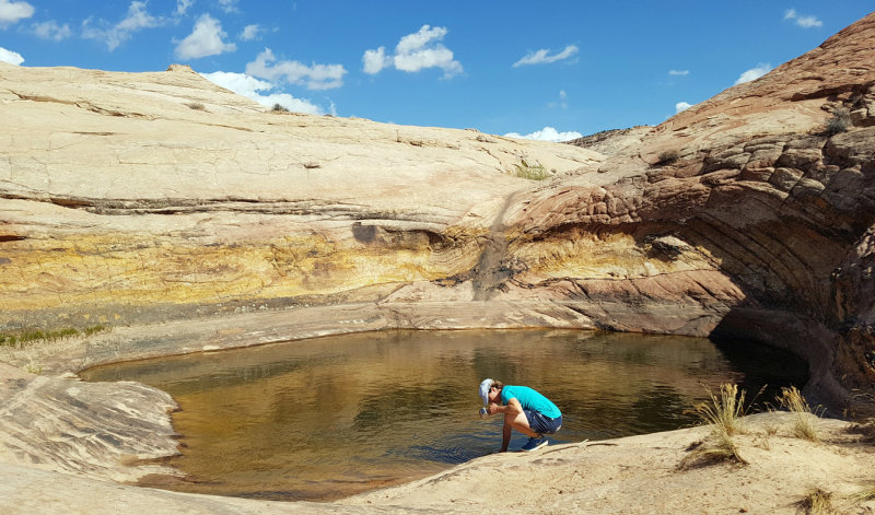 Water at last- Potholes descending to Boulder Creek |
 Descending to Boulder Creek |
 Descending to Boulder Creek |
 Boulder Creek lizard |
 At boulder creek hiking north to look for descent route |
 At Boulder Creek looking south above the scrambly descent route |
 Down in Boulder Creek at the north end of the narrows- descent route 'the crease' is the corner line centre left |
 Wading down Boulder Creek narrows |
 Boulder Creek narrows |
 Sandstone close up |
 Boulder creek heading upstream |
 Snake in boulder creek |
 Boulder creek heading upstream |
 Boulder creek water gauge |
 Boulder creek |
 Boulder creek |
 Boulder creek |
 Boulder creek |
 September 2019 Escalante area -Beautiful slickrock above Boulder Creek |
 September 2019 Escalante area -Boulder Creek |
 September 2019 Escalante area -Boulder Creek |
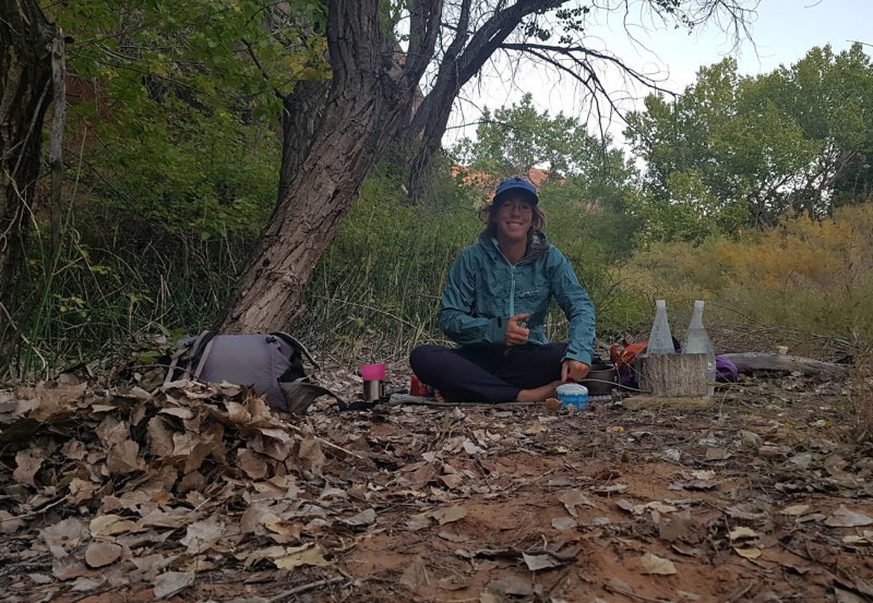
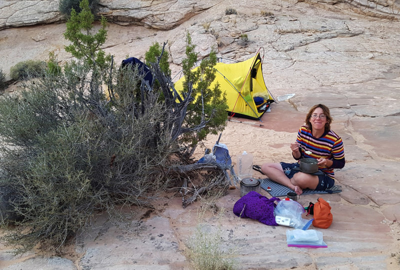 September 2019 Escalante area -Boulder Creek breakfast |
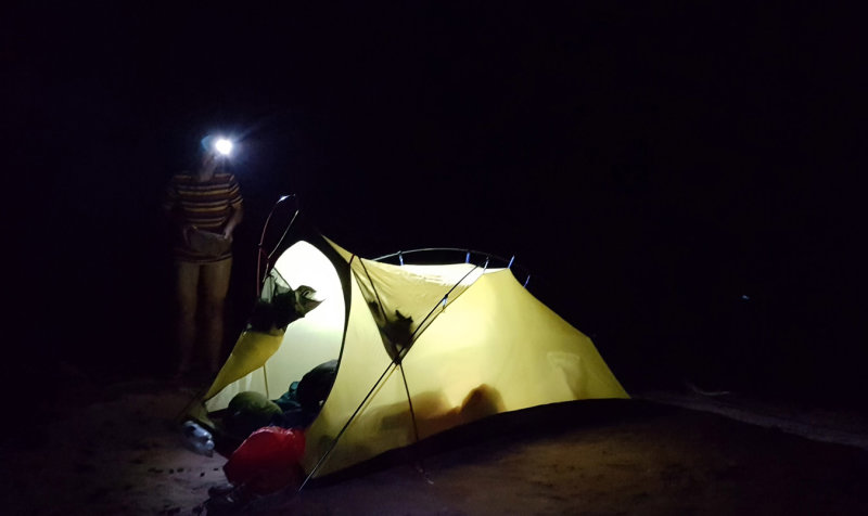
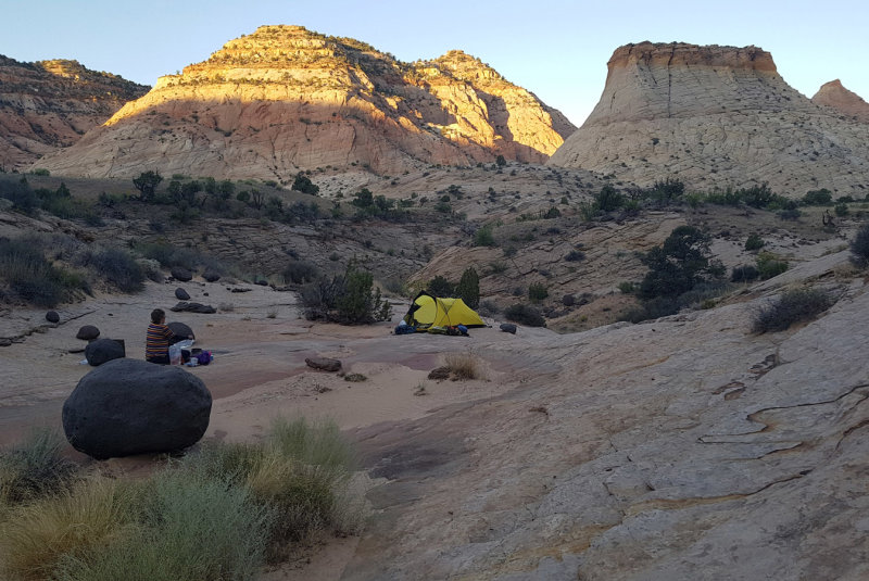 September 2019 Escalante area -Boulder Creek camp in the morning |
 Boulder creek camp in the morning |
 Boulder creek camp in the morning |
 |
 Boulder creek final day |
 Upper boulder creek beaver dam |
 Upper boulder creek beaver dam |
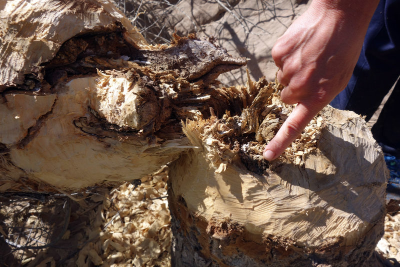 Upper boulder creek beaver signs |
 Leaving upper boulder creek at Steve Allens midpoint cattle trail exit |
 2nd HIKE map Hurricane Wash- Bobway-Escalante-Coyote |
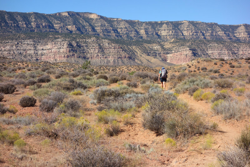
 2nd HIKE - Hiking down Hurricane wash |
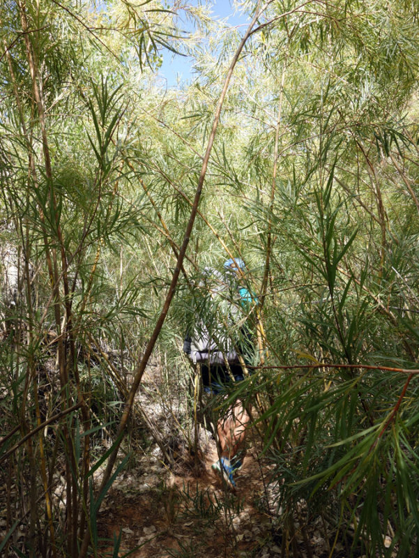 Entering into green riparian vegetation in Upper Coyote Gulch |
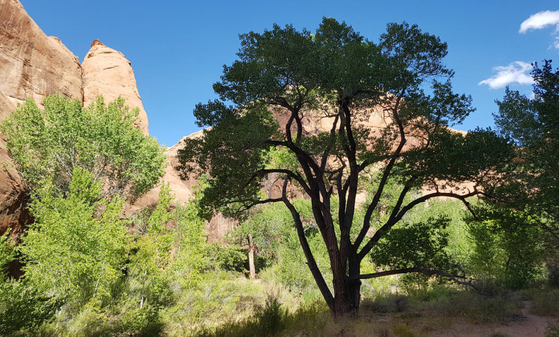 Upper Coyote Gulch cottonwood |
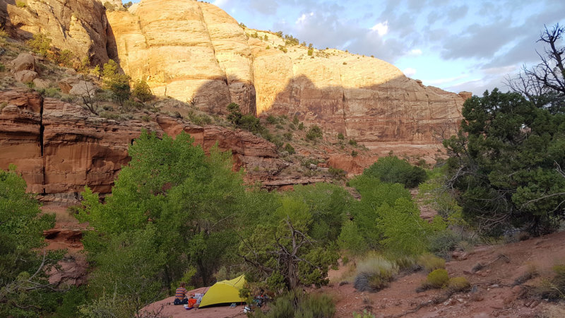
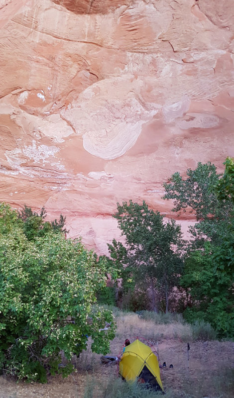 September 2019 Escalante area -Upper Coyote first camp in alcove near the junction with Sleepy Hollow |
 Next morning climbing onto sandstone slabs above camp |
 Looking back to Sleepy Hollow camp alcove |
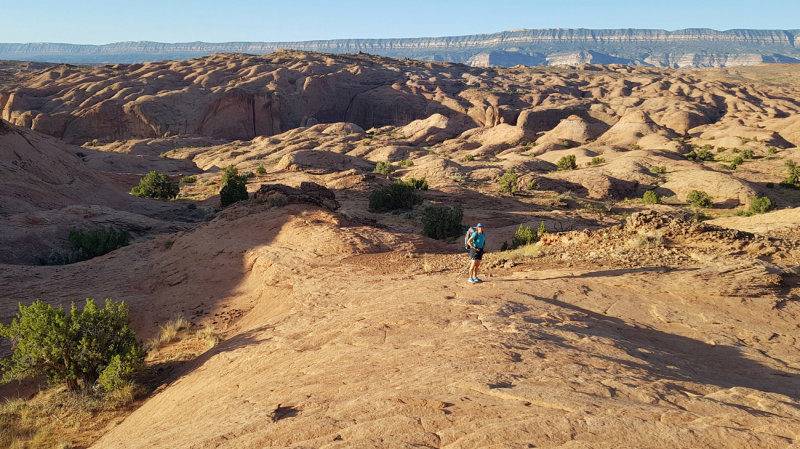 Heading east on slickrock slabs with 50 mile cliffs behind |
 Shadows hiking |
 Descending into 'Bobway' - our route down to the Escalante river |
 Easy travelin in Bobway |
 We reach the Escalante river itself and head downstream |
 Escalante gooseneck ahead |
 Escalante river - we had low water levels on this trip but there were still some deep pools around |
 Escalante |
 Escalante |
 Escalante - We stopped for a break at these weeps |
 Escalante - approaching Stevens Arch late afternoon |
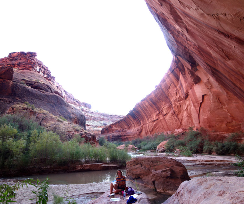 September 2019 Escalante area -Escalante camp in alcove below Stevens Arch |
 On climb up to Stevens Arch above the Escalante river |
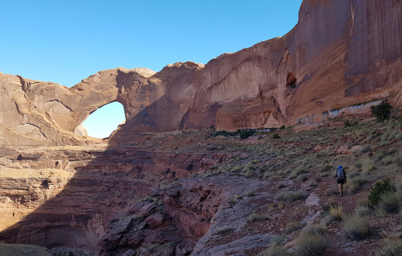 Climb done and an easy scenic traverse to the arch |
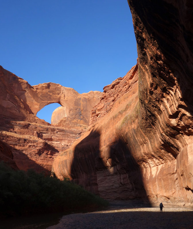
 Stevens Arch |
 THE Arch! |
 Back to the Escalante river (and coyote Gulch beyond) |
 The arch from below - surreal! |
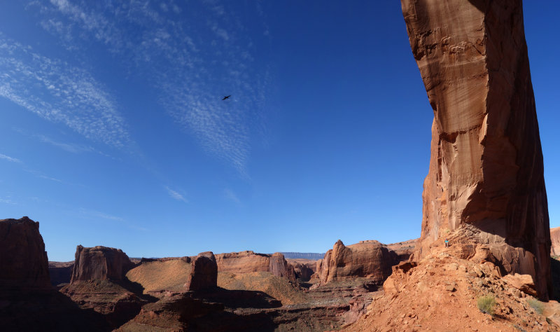 Sept 19 Arch, raven and Martina - ravens keep an eye out for some potential food! |
 Martina dwarfed by Stevens Arch base |
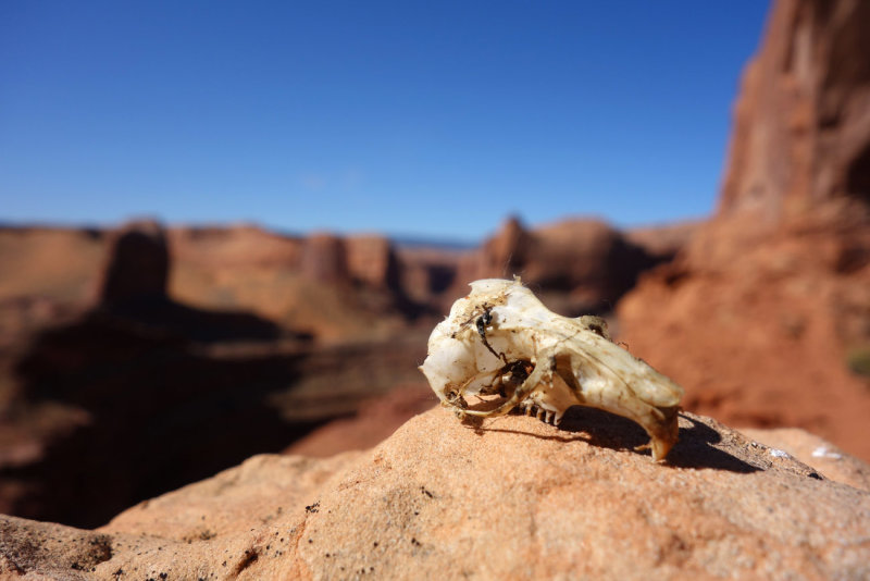 Skull at Stevens Arch |
 Looking down south into the Escalante river |
 We descend then reach lower Coyote Gulch |
 Loer Coyote Gulch |
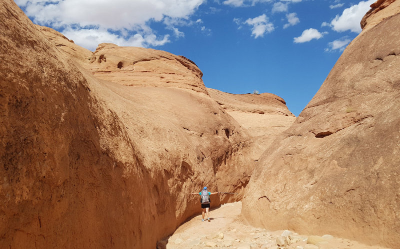
 Scrambly section at lower Coyote Gulch |
 Lizard warming up |
 Coyote - wading is not so bad with warm temperatures |
 Jumble of boulders in Coyote Gulch |
 Coyote Natural Bridge |
 Coyote Natural Bridge |
 Coyote - Jacob Hamlin Arch |
 September 2019 Escalante area -Camp in Upper Coyote Gulch |
 Morning light hiking back out |
 Drier territory nearing the trailhead at Hurricane Wash |
 Hurricane trailhead - glad we have the car here as we have hitched from here in the past |
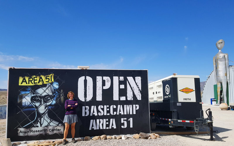 We drove back through Nevada just missing the 'storm area 51' festival |
 |
 Alien Research Centre |
 Tonopah Nevada - cool mining town |
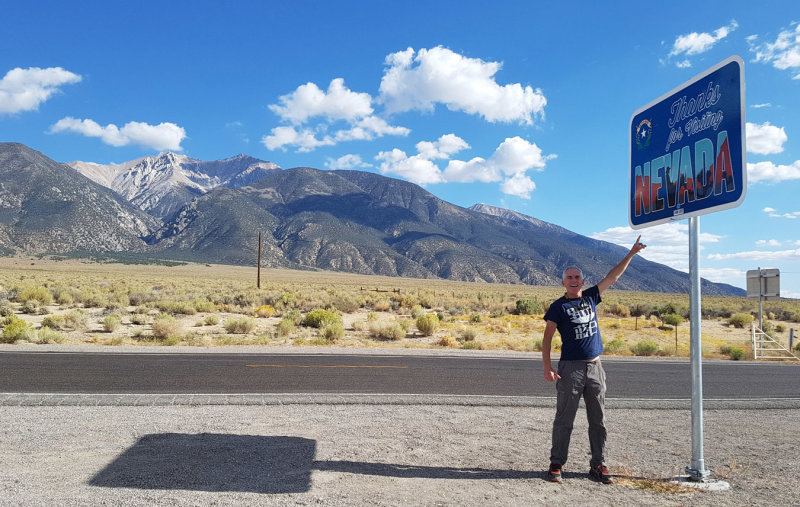 Exiting Nevada heading back towards Bishop CA - so long Nevada it was fun! |
| comment | share |
| Brian Dickson | 02-Nov-2019 17:16 | |
| Eli Finkelstein | 11-Oct-2019 00:54 | |