


|
|
|
|
|
|
| Brian Dickson | profile | all galleries >> hayduke_2014 >> 2 To Escalante | tree view | thumbnails | slideshow |
| previous page | pages 1 2 ALL | next page |
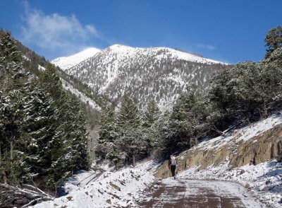
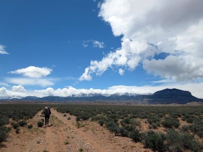 Hiking up towards the Henry mountains |
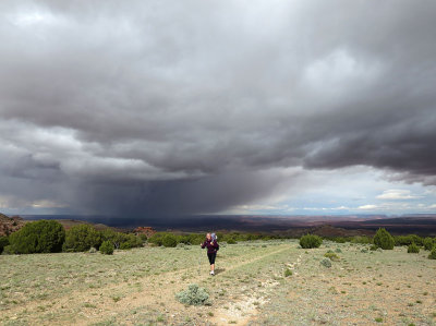 Bad weather approaches! |
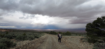 looking back down east from the lower slopes |
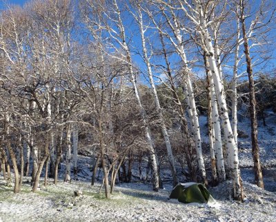 We camp beneath aspens in snow |
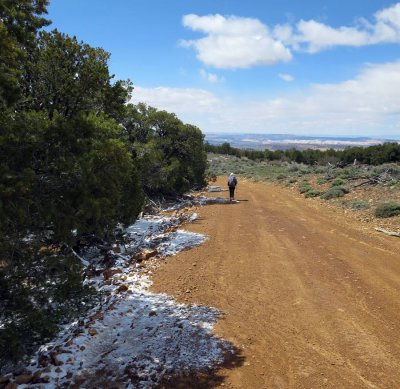
 Hiking on jeep tracks the next morning |
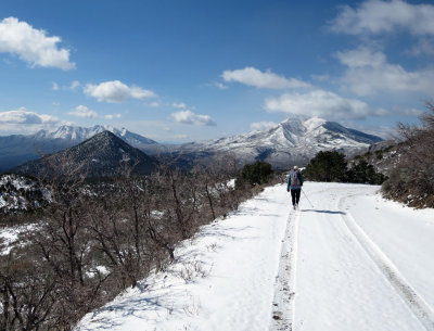
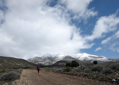
 The Henry's |
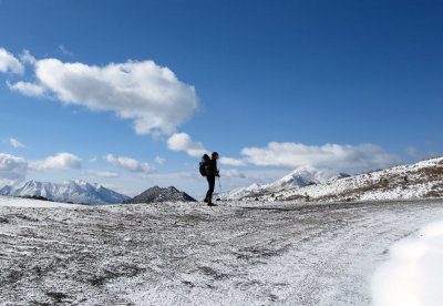
 We divert round the 11,400ft summit due to high winds and snow |
 Circling the west side on jeep tracks |
 Descending down under the snow |
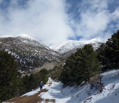
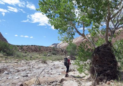
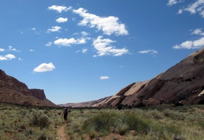
 Easy hiking away from the Henry's |
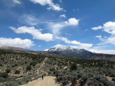 Easy hiking away from the Henry's |
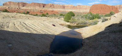
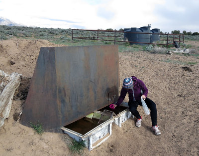 We find our water source |
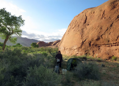
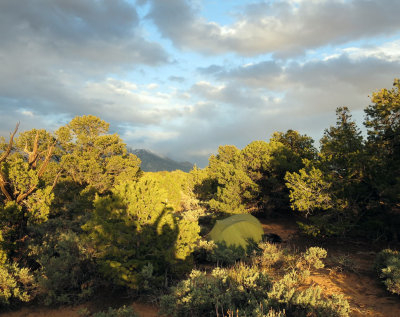 Camp in pinyon juniper |
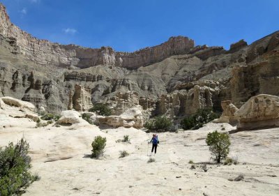
 At the top of the Tarantula Mesa cliff band- we find a cairn -hoorah! |
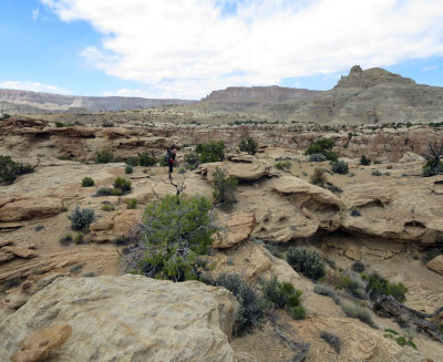
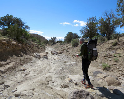 Navigating down washes below the cliffs |
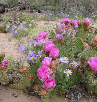
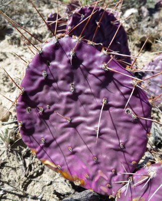 Prickly pear |
 Below Tarantula Mesa upper cliff band |
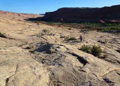
 Looking for the drop into Swap Canyon -complex rocky terrain made for slow going |
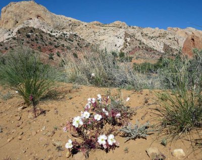
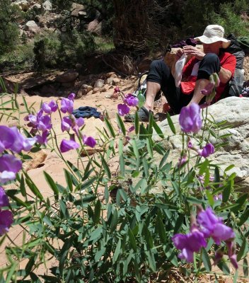
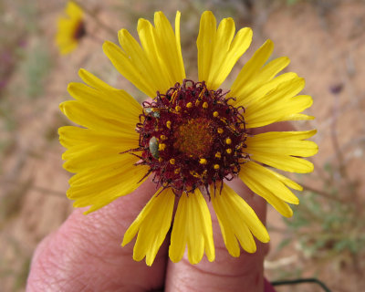
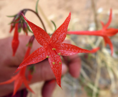
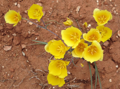
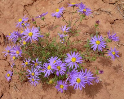
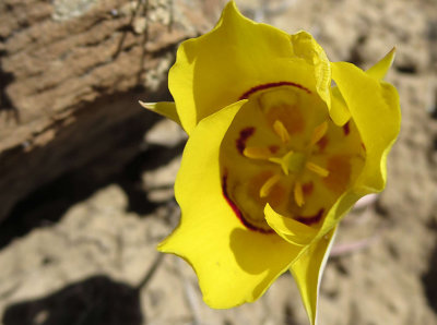 Beautiful spring flowers |
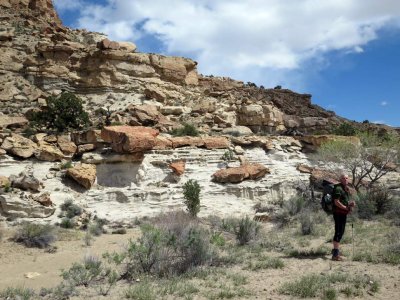
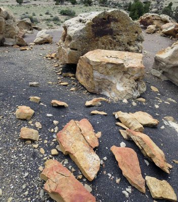 Red rock on a black coal layers |
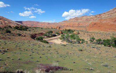
 Swap Canyon |
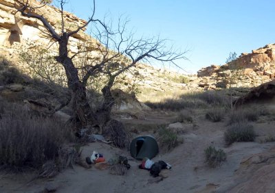 Campsite in Swap Canyon wash (hoping we don't get any overnight rain!) |
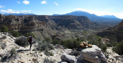
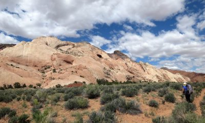
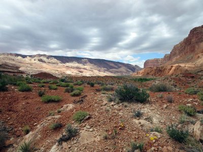
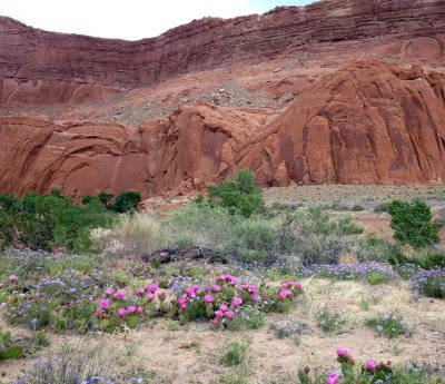
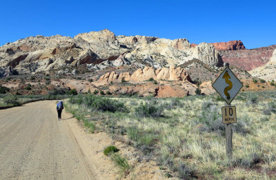 Approaching Capital Reef NP and the 'Waterpocket fold' |
 Waterpocket fold |
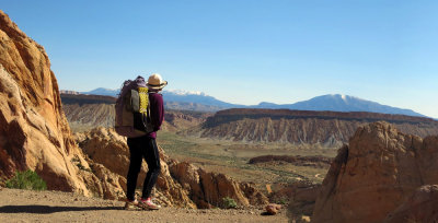 Looking back east to the Henry's from the Burr Trail jeep road |
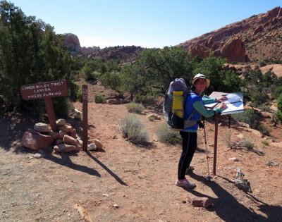 Signing the register before heading into Lower Muley Twist canyon |
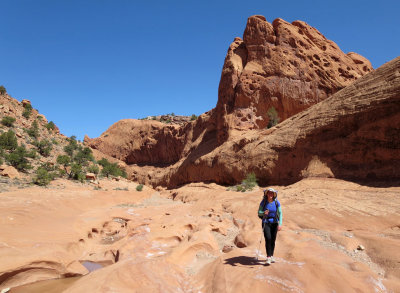
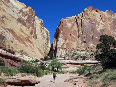
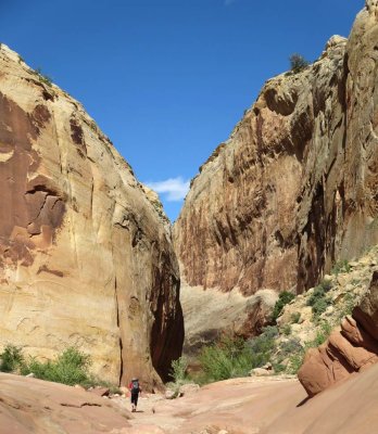
 Lower Muley Twist |
 Lower Muley Twist |
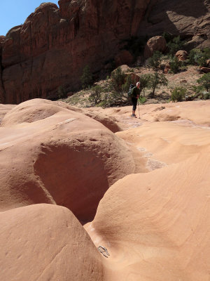
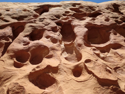
 Potholes in Lower Muley Twist |
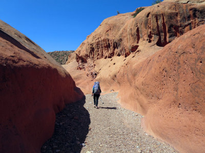 Lower Muley Twist |
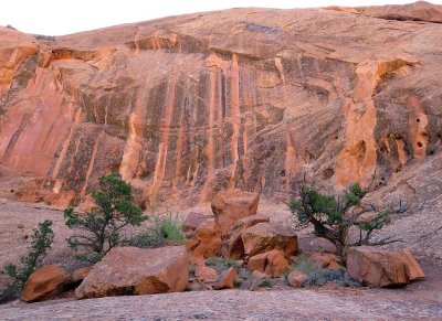
 Weird rock shapes |
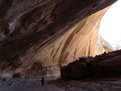
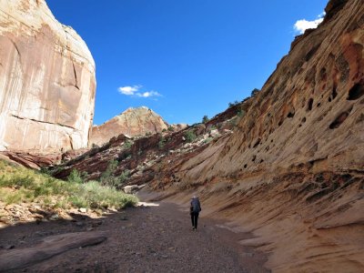
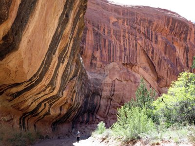 Hiking down under alcoves |
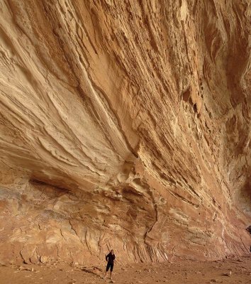
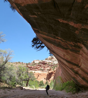 Alcove magic |
 Brian reads more maps |
 Muley Twist alcove |
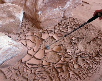 Dried mud in the stream bed |
 Muley Twist |
 Cowboy camp alcove |
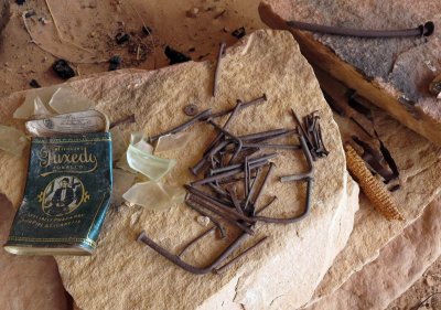 Cowboy camp artefacts |
 Muley Twist |
 Rock art |
 Exiting Muley Twist- what a 12 miles! |
 Muley Tanks - a beautiful spot and historic water source in these dry parts |
 Halls Creek with flood debris |
 Halls Creek - open vistas |
 |
 Halls Creek |
 |
 Quick sand abounded in the creek bed and sometimes we got sucked in.... |
 |
 Looking back north in Halls Creek |
 |
 |
 |
 |
 |
 |
 Green sage meadows in Halls Creek |
 Camp at the southern end of Halls Creek before it merges with Lake Powell |
 Climbing the rock slabs from Halls Creek into the Escalante drainage |
| previous page | pages 1 2 ALL | next page |
| comment | share |