


|
|
|
|
|
|
| Brian Dickson | profile | all galleries >> hayduke_2014 >> 1 To Hanksville | tree view | thumbnails | slideshow |
| previous page | pages 1 2 ALL | next page |
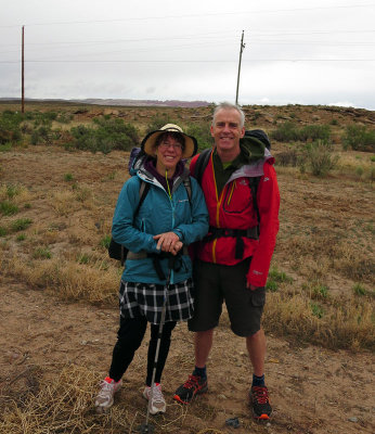 At the start of our hike! |
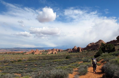
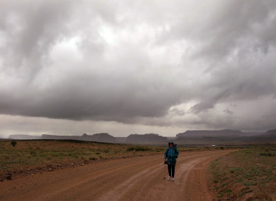 We are off! Walking towards Arches National Park |
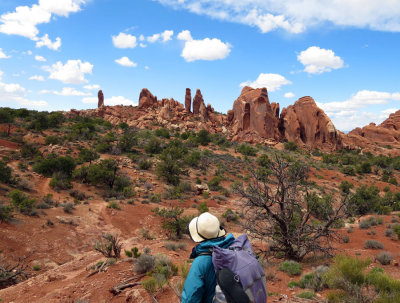
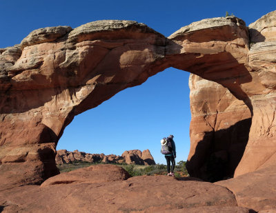
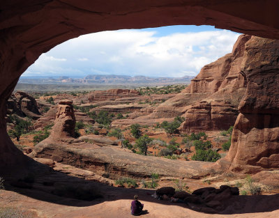 Tower Arch, Arches National Park looking towards Canyonlands |
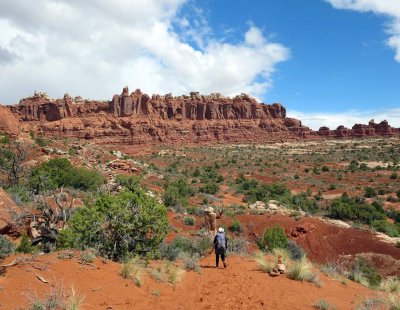 Arches National Park on our first day-the sun comes out |
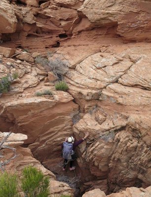 We had to scramble up a cliff band to reach 'Dark Angel' |
 Looking back to 'Dark Angel' and now on trail |
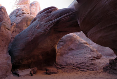
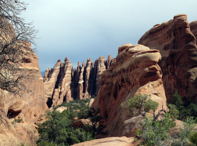 The great fins in Arches NP Devil's Garden 'primitive trail' |
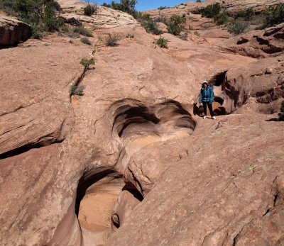
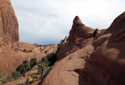 Slick rock in Arches NP Devil's Garden area |
 The weather clears in Arches NP |
 Our first camp just outside Arches NP |
 Broken Arch at 7am, Arches NP |
 Sand Arch, Arches NP |
 Willow Spring Wash, Arches NP |
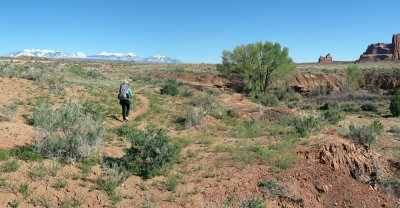
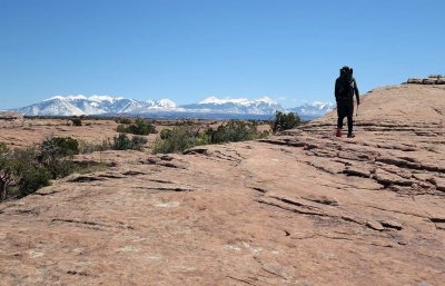 Slick rock walking looking to the La Sal mountains, Arches NP |
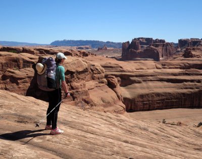 Martina looks out for our rocky descent scramble towards Courthouse Towers, Arches NP |
 Above Courthouse Towers, Arches NP |
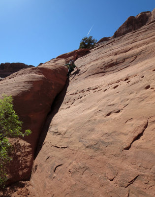 The last chimney crack descent of the cliff above Courthouse Towers |
 Trail into Courthouse Wash, Arches NP |
 Courthouse Wash camp in evening light |
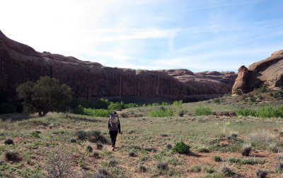 Courthouse wash opens out on day 3 |
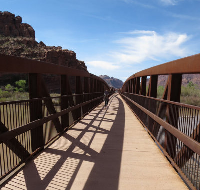 We exit Arches NP and hike over the Colorado river to Moab |
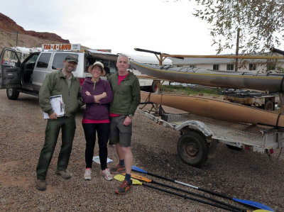 Leaving Moab being checked by the National Park |
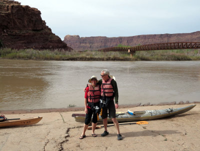 About to start just north of the bridge going into Moab |
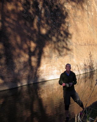
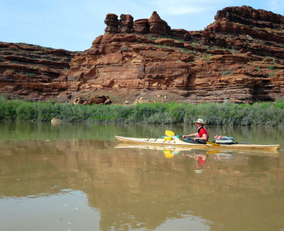
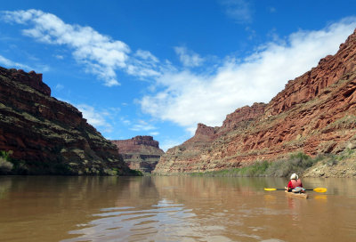
 The water was flat and muddy! |
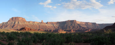
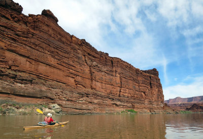
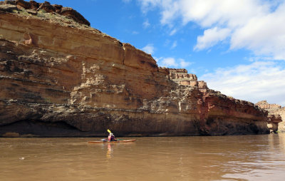
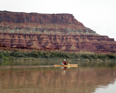 Passing banded cliffs on Day 1 |
 The weather cleared in the evening |
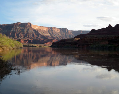
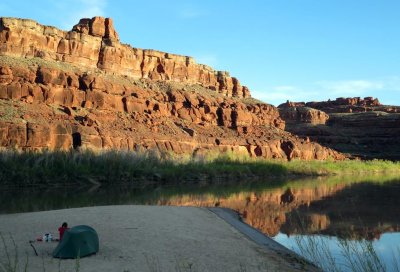
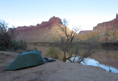
 Our first river camp |
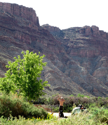
 Evening at camp 1 |
 Evening at camp 1 |
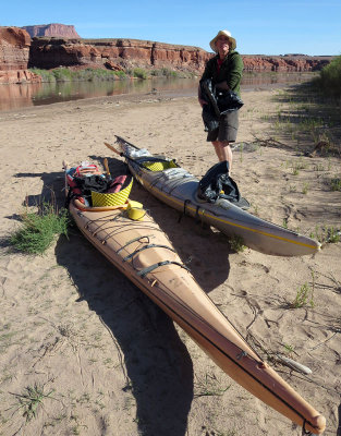 Brian ready to set off |
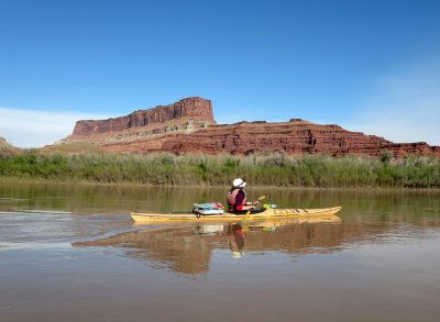
 Day 2 |
 We were covered by mud and silt from the river! |
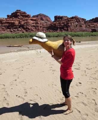 Martina with taxidermy deer mount(!) found on a beach |
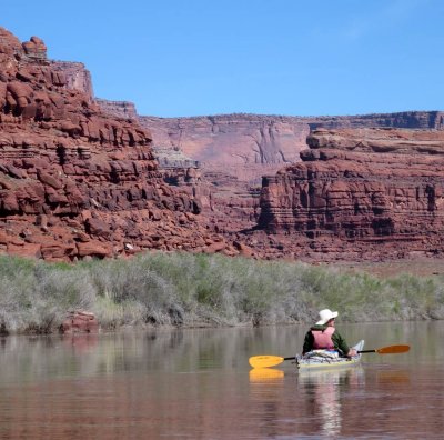
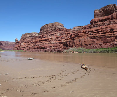
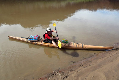
 Floating the Colorado |
 Silty beach |
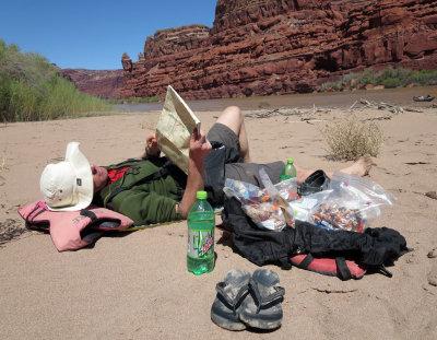 Brian studies maps |
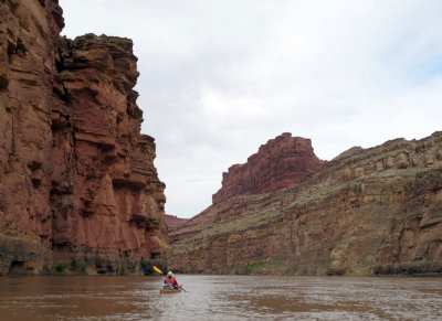
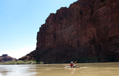 Afloat on the big river |
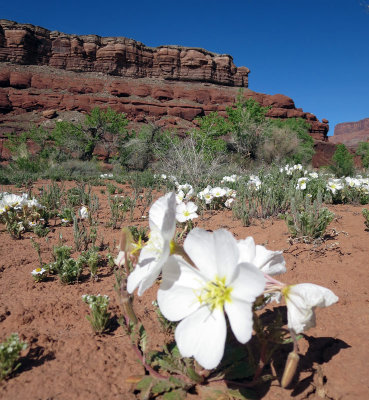 Lovely spring flowers |
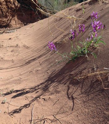 Spring flowers on a walk |
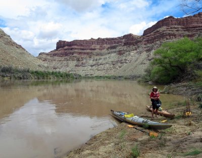
 Camp 2 on a sandy island |
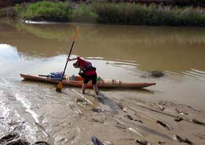 Martina sinking into the river mud |
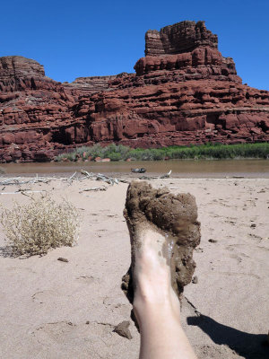
 Cleaning mud before paddling! |
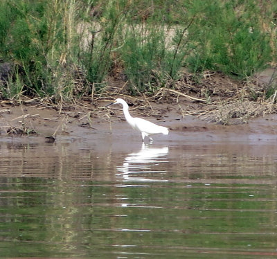 Egret |
 Day 3 |
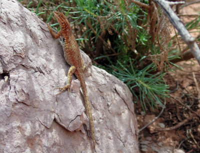 Lizard |
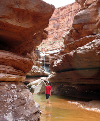 Rustler Canyon falls |
 Day 3 |
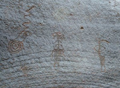 Petroglyphs at 'The Loop' |
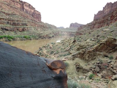 Looking from the petroglyphs to our camp |
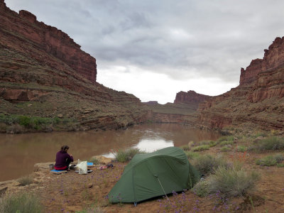 The Loop camp, rainclouds above |
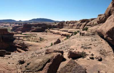
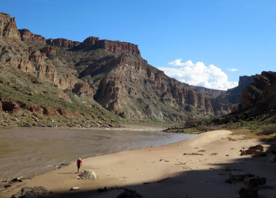
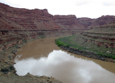 Martina in picture at the bottom centre |
 Sunny Day 4 |
 Approaching 'The Slide' rapids Day 4 |
 Take out just below the Green River confluence |
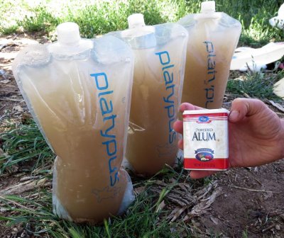 Our drinking water was silty! |
 Below Spanish Bottom at Cataract Canyon |
 Spanish bottom camp |
 Stairs cut out to give river access at Spanish Bottom |
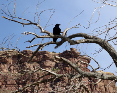 A raven looks on |
 Brian at Spanish Bottom |
| previous page | pages 1 2 ALL | next page |
| comment | share |