


|
|
|
|
|
|
| Kazuo Lim Khee Boon | profile | all galleries >> My Travel Album >> Taiwan >> Taipei >> Yeliu >> Yeliu Geopark | tree view | thumbnails | slideshow |
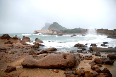
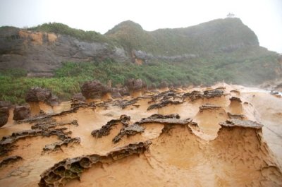
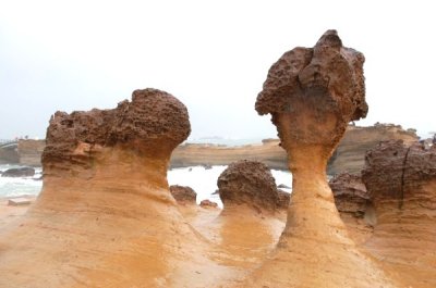
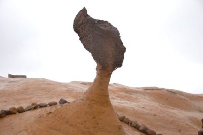
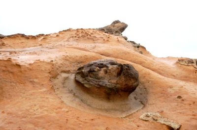
Yeliu Geopark
Yehliu or Yeliu is a cape on the north coast of Taiwan in the town of Wanli between Taipei and Keelung. The cape, known by geologists as the Yehliu Promontory, forms part of the Taliao Miocene Formation. It stretches approximately 1,700 meters into the ocean and was formed as geological forces pushed Datun Mountain out of the sea.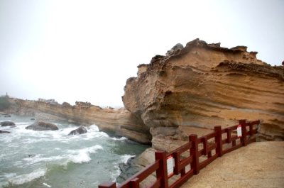 DSC_0365.jpg |
 DSC_0376.jpg |
 DSC_0385.jpg |
 DSC_0401.jpg |
 DSC_0435.jpg |
 DSC_0458.jpg |
| comment | share |