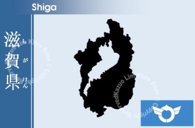
Shiga Prefecture is a prefecture of Japan which is part of the Kinki region on Honshű Island. The capital is the city of Otsu.
Shiga shares a border with Fukui Prefecture in the north, Gifu Prefecture in the east, Mie Prefecture in the southeast, and Kyoto Prefecture in the west.
Different areas of the prefecture include Kohoku (north of lake), Kosei (west of lake), Koto (east of lake), and Konan (south of lake).
Lake Biwa, Japan's largest lake, is located at the center of this prefecture. It occupies one-sixth the total area of Shiga. The prefecture is enclosed by mountain ranges with the Hira Mountains in the west, the Ibuki mountain range in the east, and the Suzuka Mountains in the southeast. Northern Shiga is substantially colder with higher snowfall than in southern Shiga, which is usually warmer.
Seta River flows out from Lake Biwa to Osaka Bay through Kyoto. This is the only natural river which flows out from the lake. All of the other natural rivers flow into the lake.