


|
|
|
|
|
|
| Kazuo Lim Khee Boon | profile | all galleries >> My Travel Album >> Nepal >> Sagarmatha National Park | tree view | thumbnails | slideshow |
Sagarmatha National Park
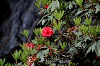
Sagarmatha National Park is a protected area in the Himalayas of eastern Nepal containing the southern half of Mount Everest. The park was created on July 19, 1976 and was inscribed as a Natural World Heritage Site in 1979. Sagarmatha is a Sanskrit word, from sagar = "sky" (not to be confused with "sea/ocean") and matha = "forehead" or "head", and is the modern Nepali name for Mount Everest. It has been identified as an Important Bird Area by BirdLife International and is included in the Sacred Himalayan Landscape.
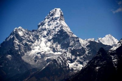
Amadablam |
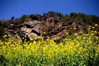
Autour de Sagarmatha |
Benkar |
Chheplung |
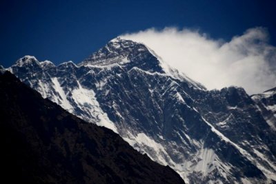
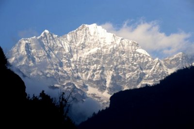
Everest |
Ghat |
Jorsale |
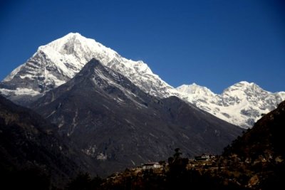
Kongde |
Lukla |
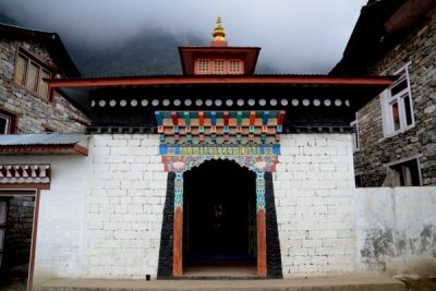
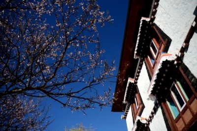
Lukla Kemgon Monastery |
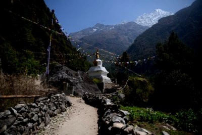
Monjo |
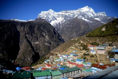
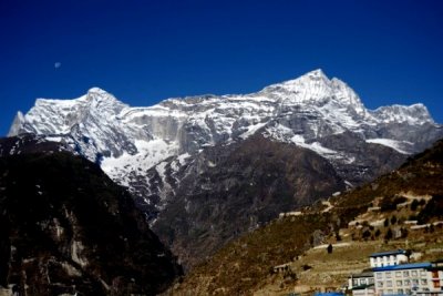
Namche Bazaar |
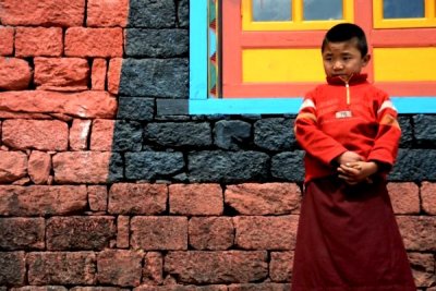
Namche Monastery |
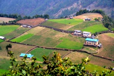
Phakding |
Tamserku |
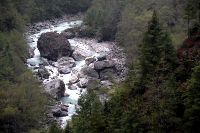
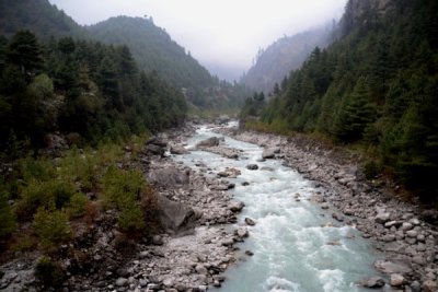
Thado Khoshi River |
Tok Tok |
| comment | share |