


|
|
|
|
|
|
| Kazuo Lim Khee Boon | profile | all galleries >> My Travel Album >> Myanmar (Burma) >> Mon | tree view | thumbnails | slideshow |
Mon

| Capital | Mawlamyaing |
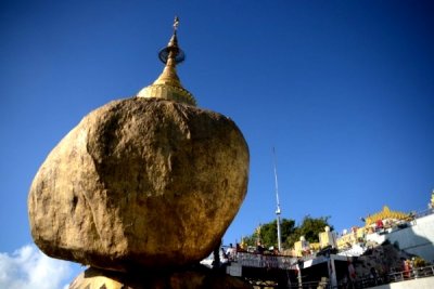
Kyaikhtiyo (Golden Rock) |
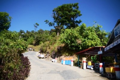
Kinpun Base Camp |
Yathetaung Hill Station |
| comment | share |