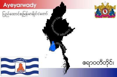
Ayeyarwady Division is a division of Myanmar, occupying the delta region of the Ayeyarwady River (Irrawaddy River). It is bordered by Bago Division to the north and Yangon Division to the east, and the Bay of Bengal to the south and west. It is contiguous with the Rakhine State in the northwest.
The division lies between north latitude 15° 40' and 18° 30' approximately and between cast longitude 94° 15' and 96° 15'. It has an area of 13,566 sq-miles. The population is over 6.5 million, making it the most populous of Myanmar's states and divisions. The average population density per sq mile is 466 persons.
Ayeyarwady Division is flanked by the Rakhine Yoma (Arakan Mountains) range in the west and large areas were cleared for paddy cultivation, leading to its preeminent position as the main rice producer in the country, a position it has retained into the twenty-first century.
It has also a number of lakes. Of the rivers branching out from the mighty Ayeyarwady, Ngawun, Pathein and Toe are famous.
The capital city of Ayeyawady division is Pathein.
Chaungtha Beach and Ngwesaung Beach are popular resorts for both foreigners and Burma people. They are located in west side of Ayewarwaddy Division, one hours distance from Pathein city and four hours from Yangon city by road transportation.