


|
|
|
|
|
|
| Brian McMorrow | profile | all galleries >> South America & Antarctica >> Peru >> Central Andes >> Central Andes: Andalhuaylas to Cusco | tree view | thumbnails | slideshow |
 Another early start leaving Andahuaylas |
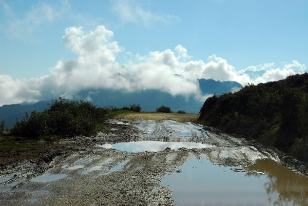
 Only 4 hours of dirt roads left...thank god |
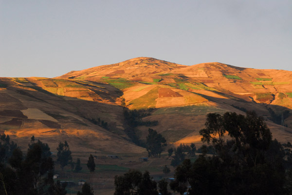
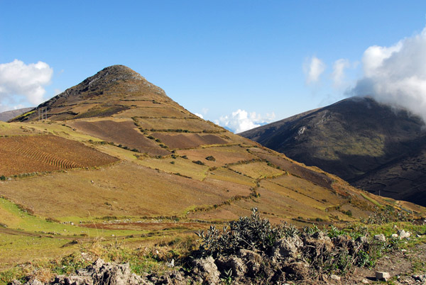
 Hills east of Andahuaylas |
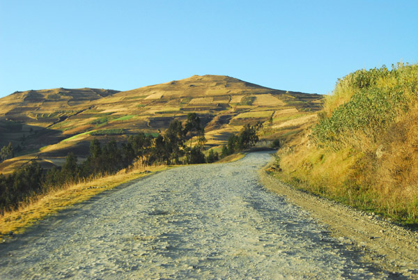
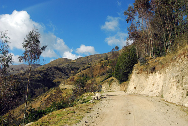
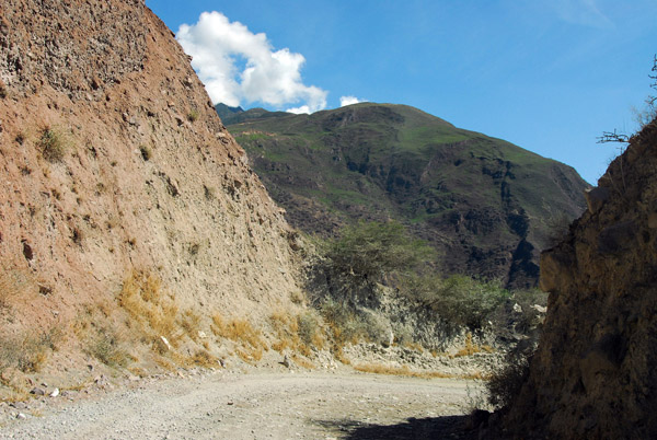
 The dirt road from Andahuaylas to Abancay |
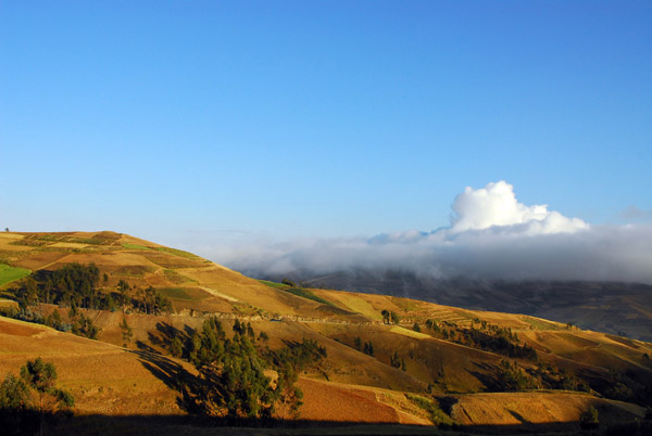
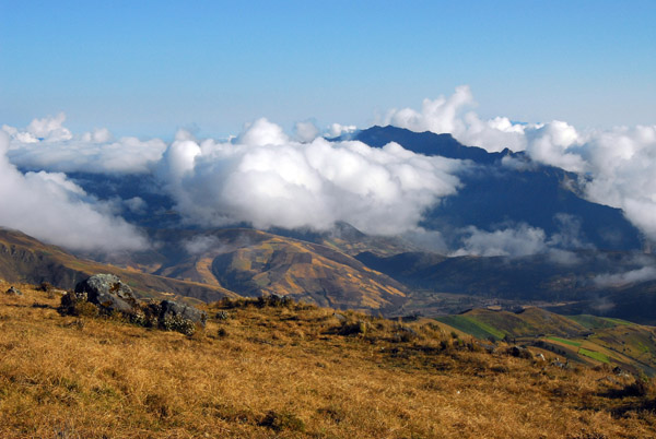
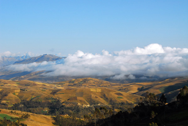 Some low clouds over the Andes |
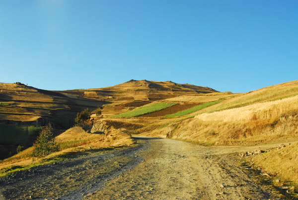
 Along the road from Andahualyas to Abancay |
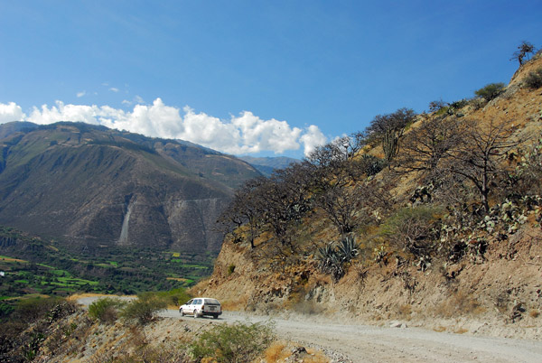
 Although not great, it's better than the road from Ayacucho |
 Road from Andahualyas to Abancay |
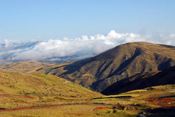
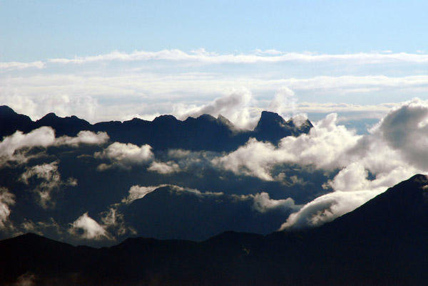
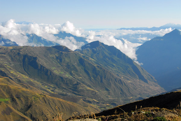
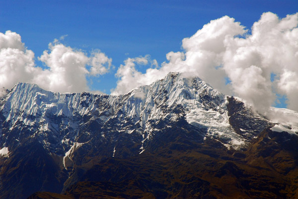
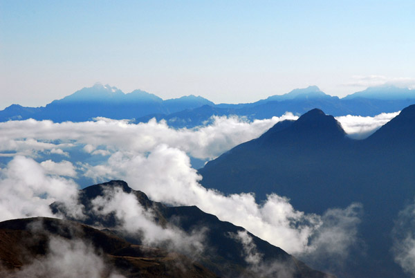 High range of the Andes in the distance above the clouds |
 Ridge of the Andean Cordillera Vilcabamba |
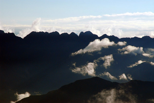
 Up in the clouds |
 Ridge of the Andean Cordillera Vilcabamba |
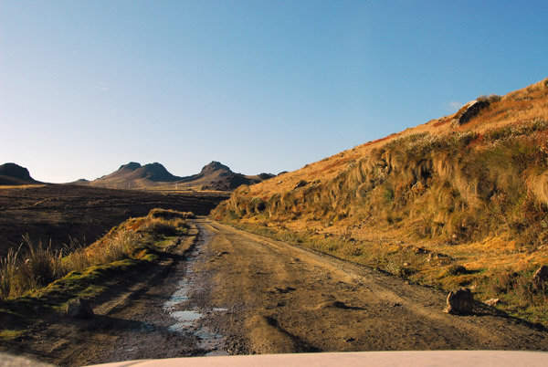
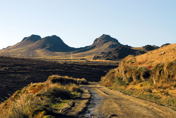
 Abra Huayllaccasa 4100m mountain pass |
 Road descending from Abra Huayllaccasa |
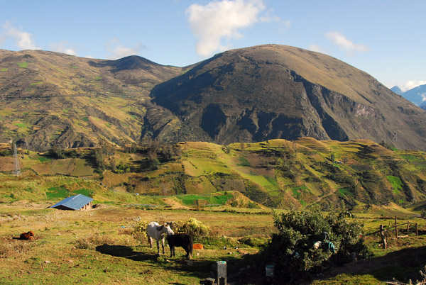 Horses and farmland in the Andes |
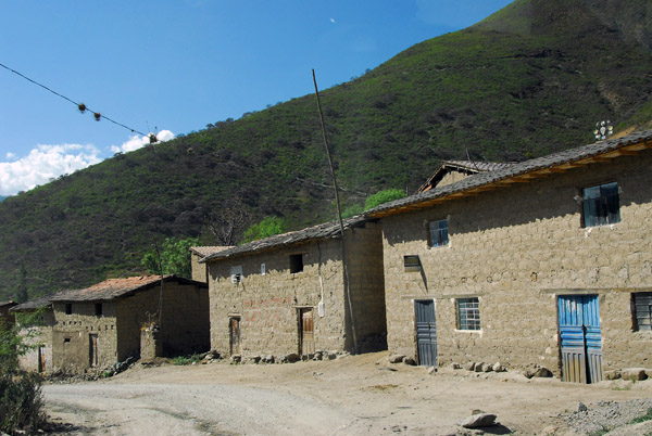
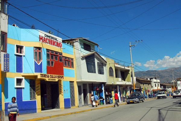
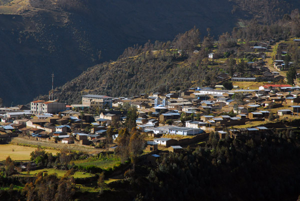 Huancarama, Apurimac region, Peru |
 The low road to Huancarama |
 We picked up a Peruvian doctor hitchhiking to Huancarama |
 You'd think the Ministry of Health that posted him here would at least give him a motorbike to get to patients... |
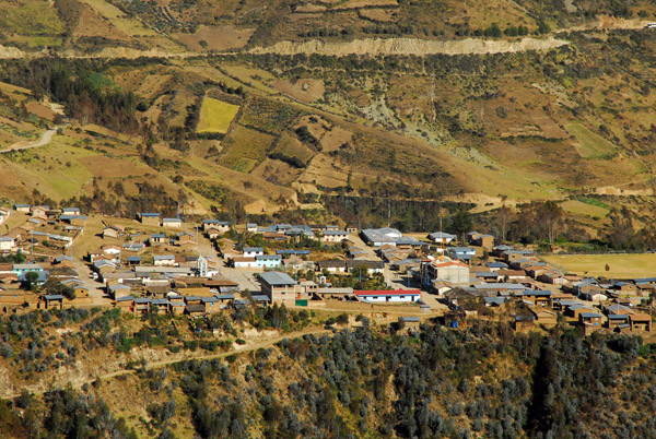 Huancarama, Peru |
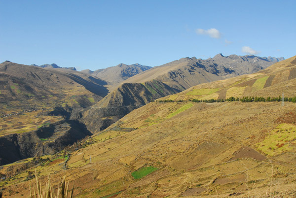
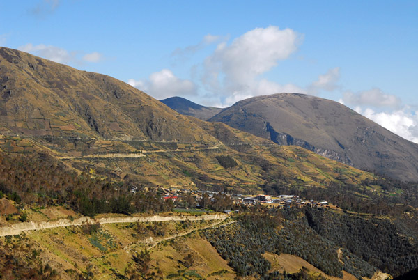
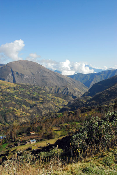 Mountains around Huancarama |
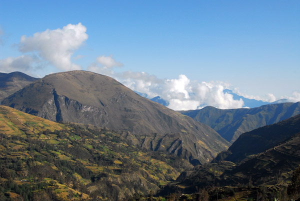 Mountains around Huancarama |
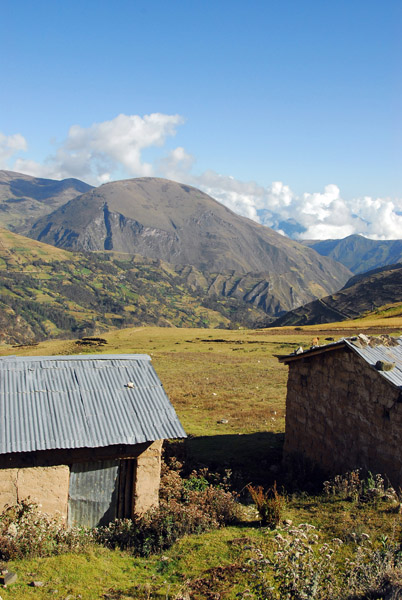 Around Huancarama |
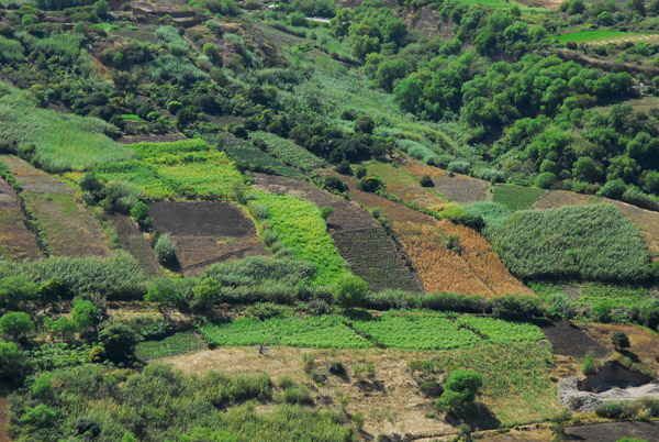
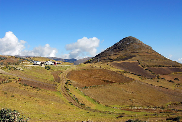 A small dirt track leading into fields |
 It doesn't look like Peruvian farmers have used terraced fields since the Inca |
 Again, thankful it's the dry season |
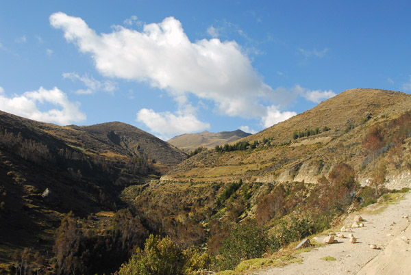
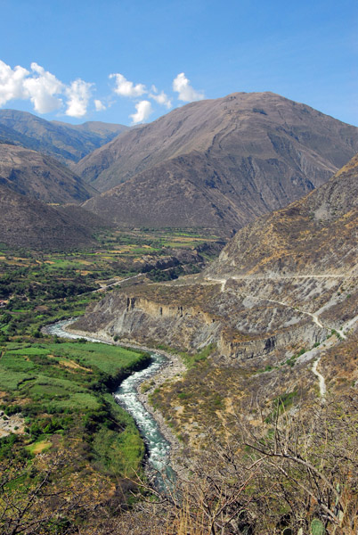
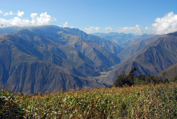 High above the Rio Apurimac valley |
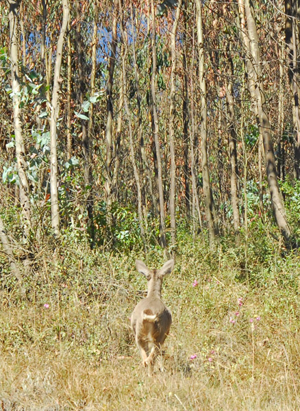 Wildlife! |
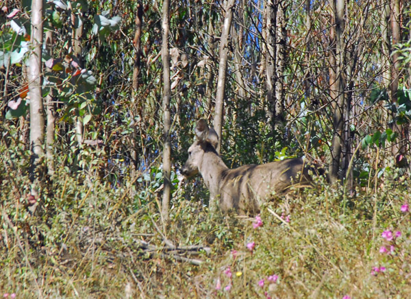 A deer, Peru |
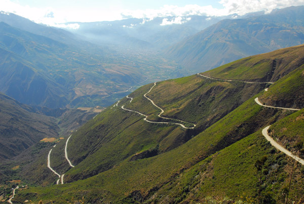 The serpentine road descending to the Rio Apurimac and Abancay |
 Switchback leading to Abancay |
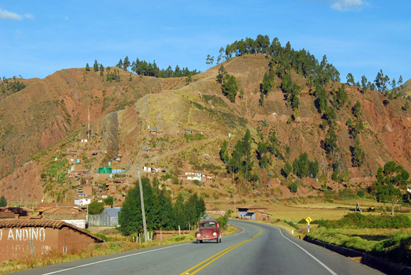
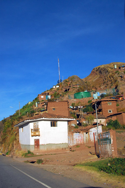
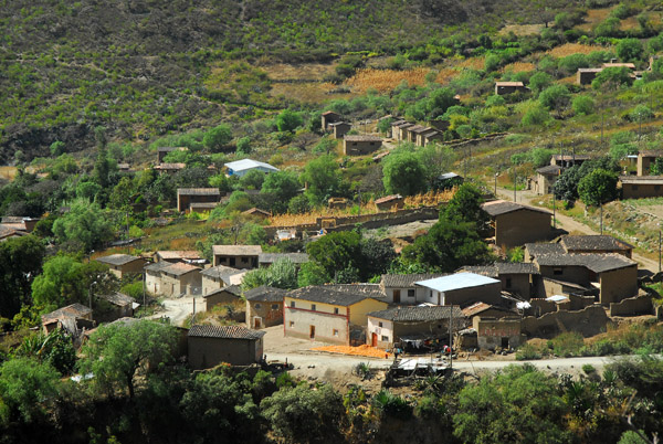 Village on the mountain south of Abancay |
 Village on the mountain south of Abancay |
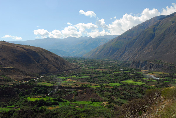
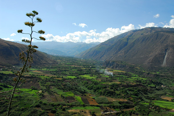
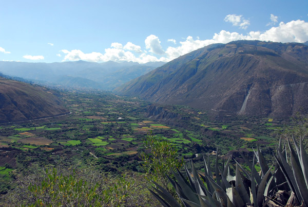 Lush green valley of Abancay famous for "eternal spring" |
 Lush green valley of Abancay famous for "eternal spring" |
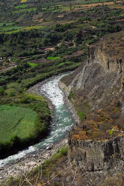
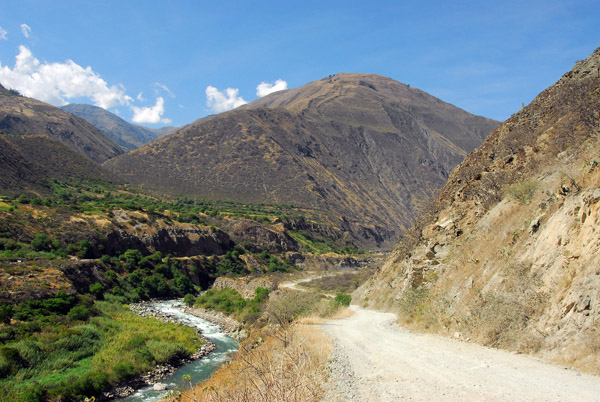
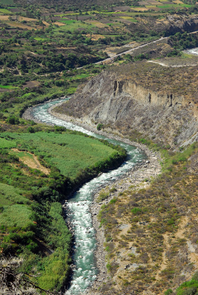 Rio Apurimac, near Abancay |
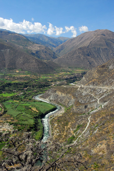 Rio Apurimac, near Abancay |
 Rio Apurimac, near Abancay |
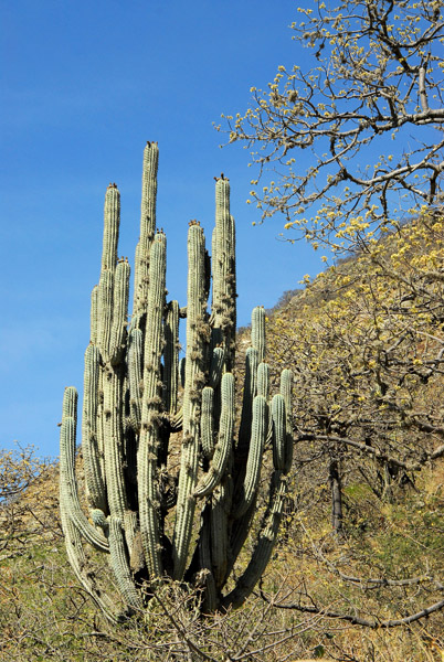
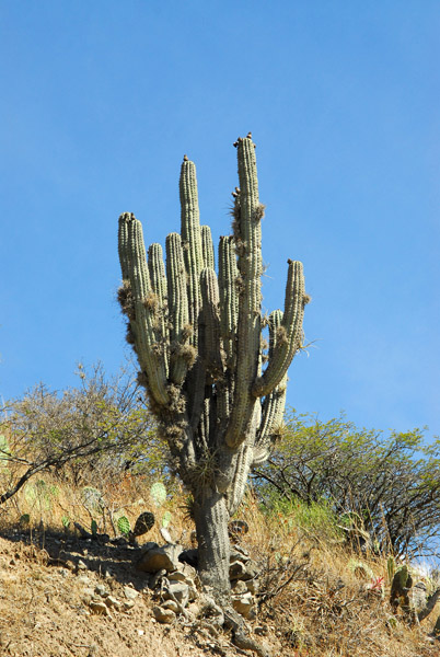 Cactus, Apurimac region, Peru |
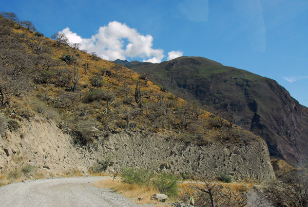 Road to Abancay |
 |
 We took the right fork |
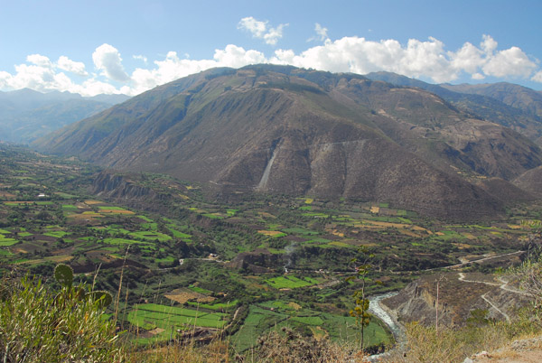
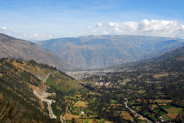
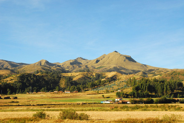
 Abancay Valley |
 Abancay Valley |
 Abancay Valley |
 Abancay Valley |
 Rio Apurimac |
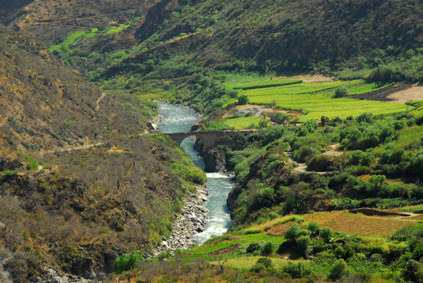 If we took the left fork, we would have crossed that bridge |
 Headed down the right fork to the southern bridge |
 Cactus |
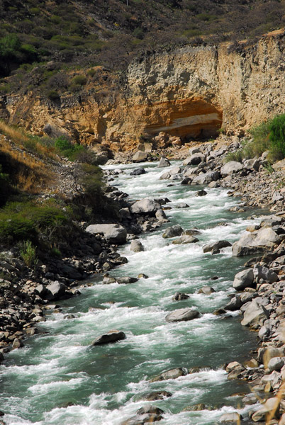 Rio Apurimac |
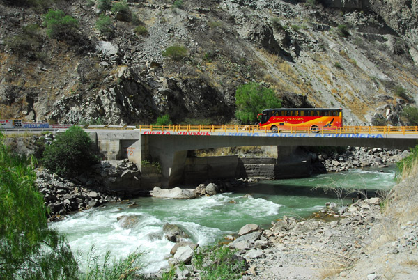
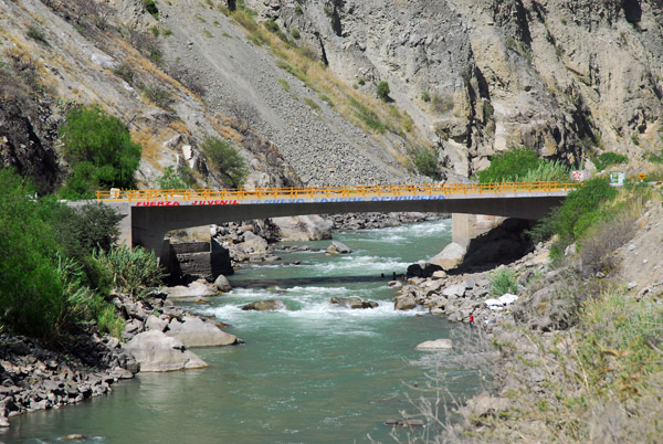 Bridge over the Rio Apurimac |
 Back on a main road |
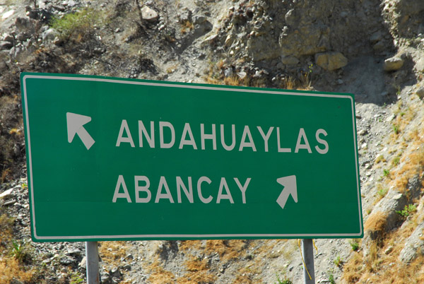 Turnoff for the dirt road to Andahuaylas |
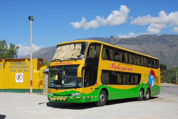 Double decker long distance bus, Palomino, Peru |
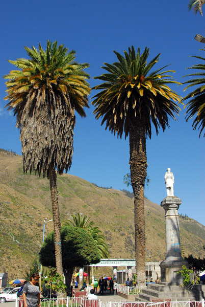
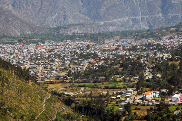
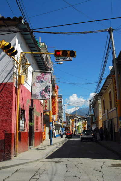 Abancay |
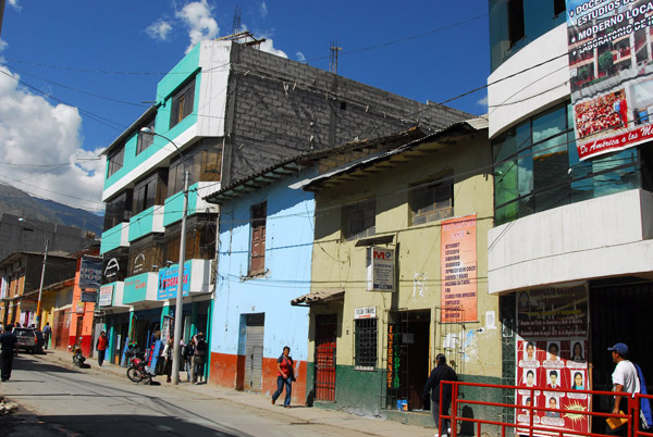 Abancay |
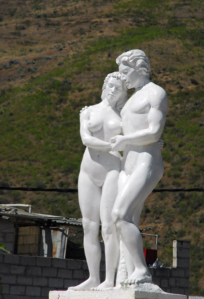 Sculpture, Plaza de Armas, Abancay |
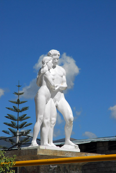 Sculpture, Plaza de Armas, Abancay |
 Sculpture, Plaza de Armas, Abancay |
 Abancay |
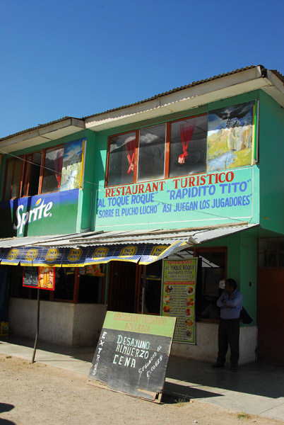 Restaurant Turistico, Abancay |
 Abancay Valley from the road to Cusco |
 Abancay |
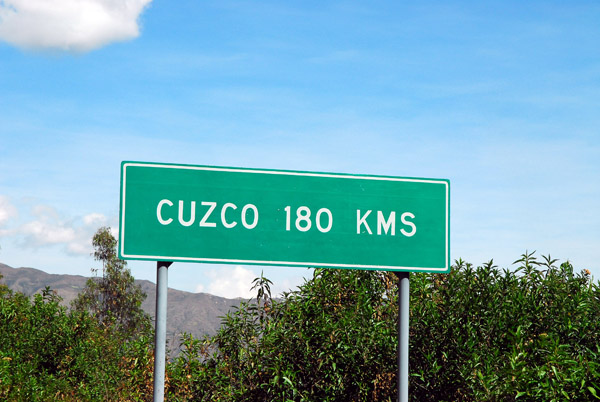 Cuzco 180 km |
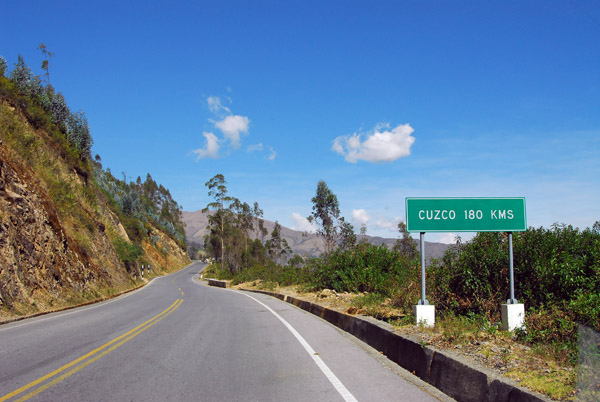 Road to Cuzco, thankfully in good condition |
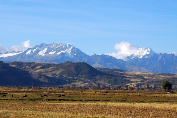
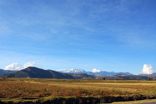
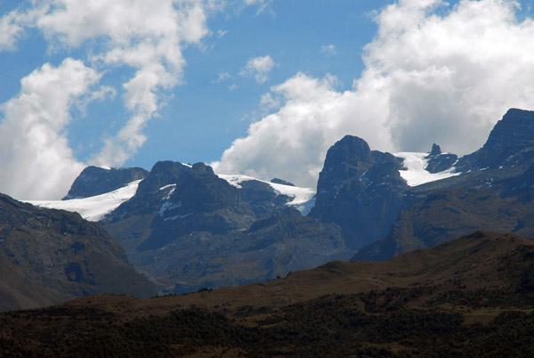 Cordillera Vilcabamba, Peruvian Andes |
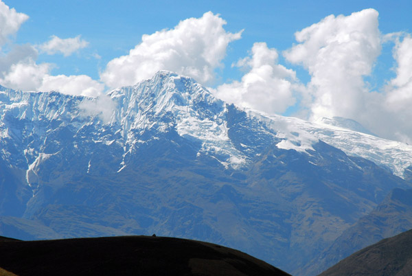 Nevada Salcantay (6271m / 20,574 ft) |
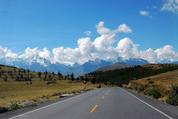 Road to Cusco with the Cordillera Vilcabamba |
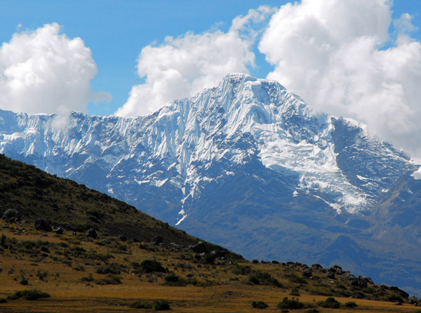 Nevada Salcantay (6271m / 20,574 ft) |
 Nevada Salcantay (6271m / 20,574 ft) |
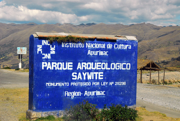 Parque Arqueologico Saywite, Apurimac |
 Between Abancay and Cusco |
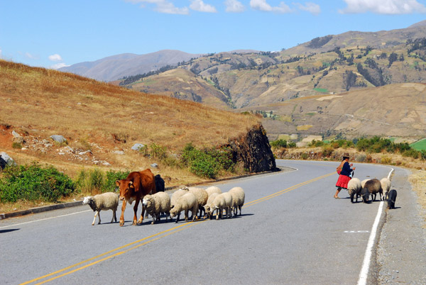 Woman herding animals across the road |
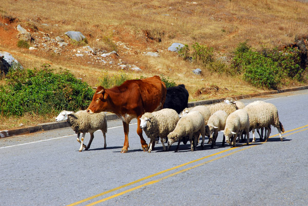 Sheep and a cow crossing the road |
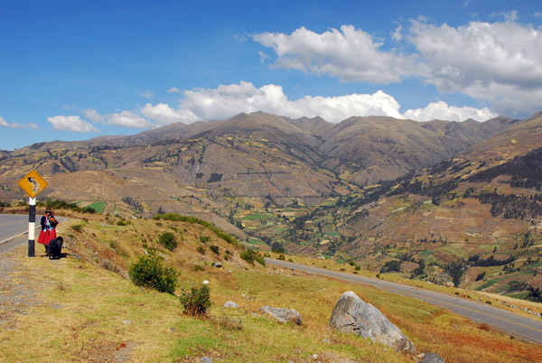 Andes between Abancay and Cusco |
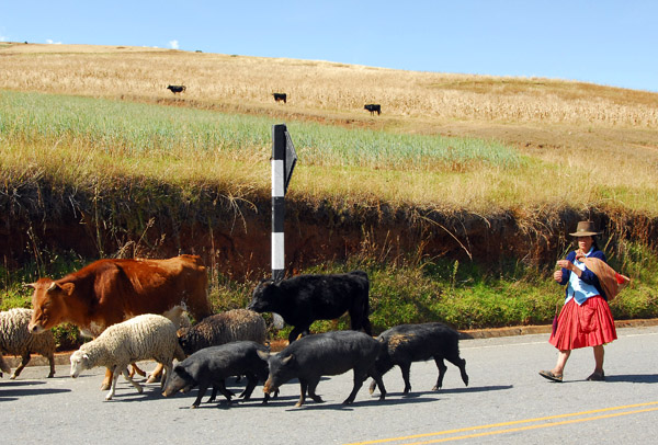 Woman with a small herd of animals |
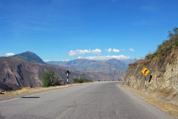 Road to Cusco |
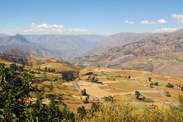
 Andes between Abancay and Cusco |
 Andes between Abancay and Cusco |
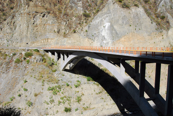 Bridge on the road to Cusco |
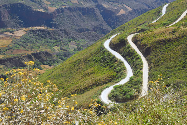
 Road descending to the Apurimac River valley |
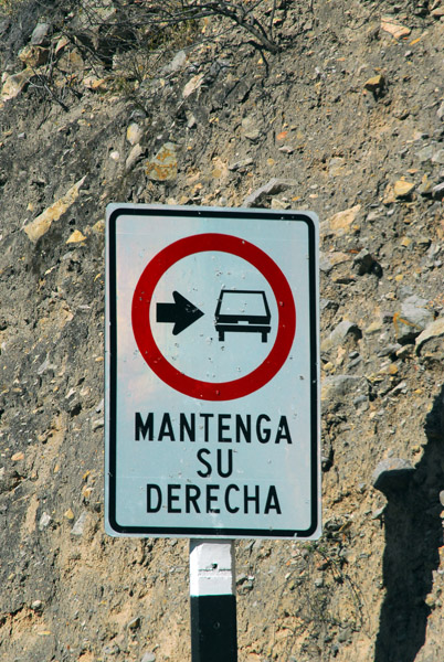 Mantenga Su Derecha road sign |
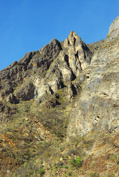
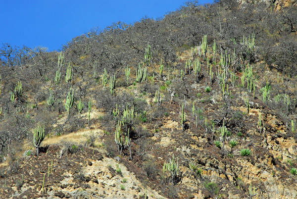 Cactus, Apurimac region, Peru |
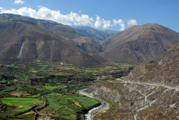
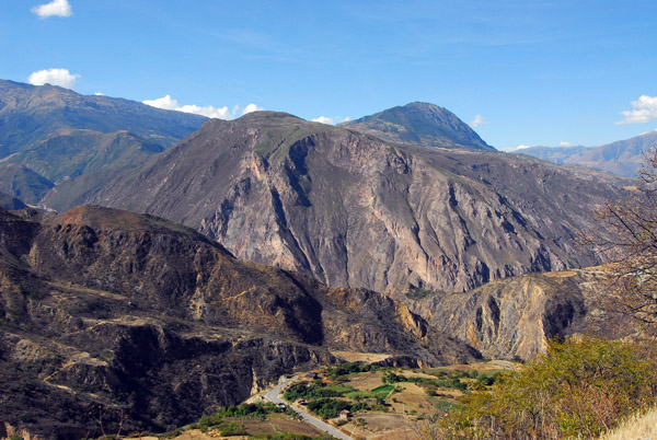
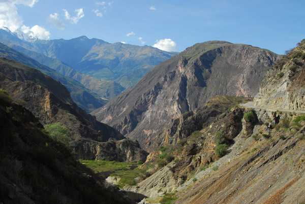
 Valley of the Rio Apurimac between Abancay and Cusco |
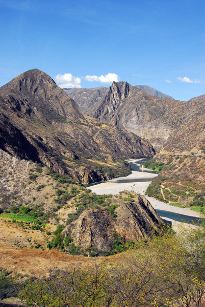 Valley of the Rio Apurimac |
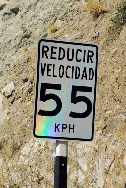 Reducir Velocidad 55 kph road sign |
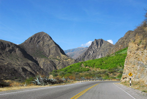 Road to Cusco through the Apurimac Valley |
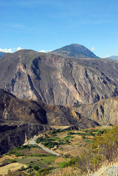
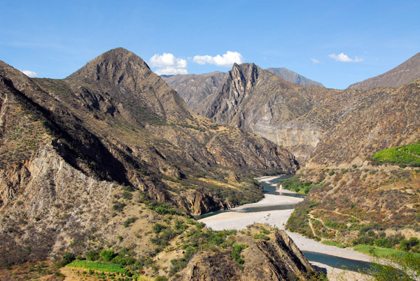
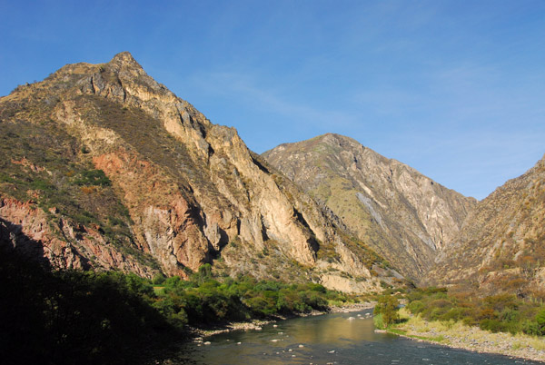
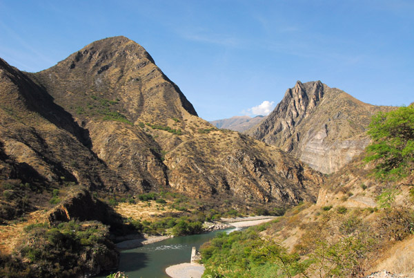 Scenic stretch of the Rio Apurimac valley |
 Rio Apurimac |
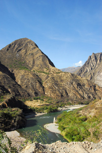
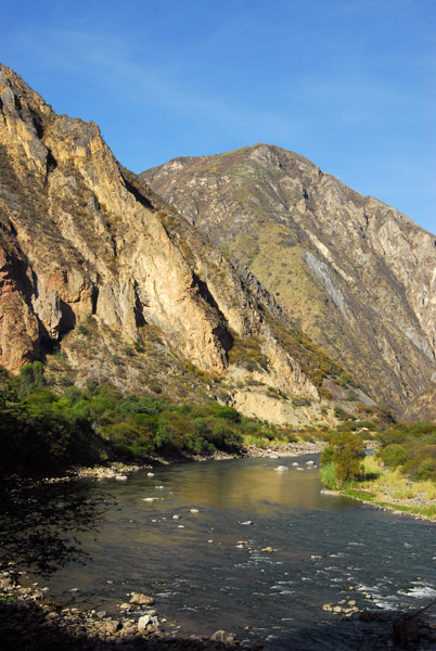
 Road to Cusco along the Apurimac River |
 Rio Apurimac |
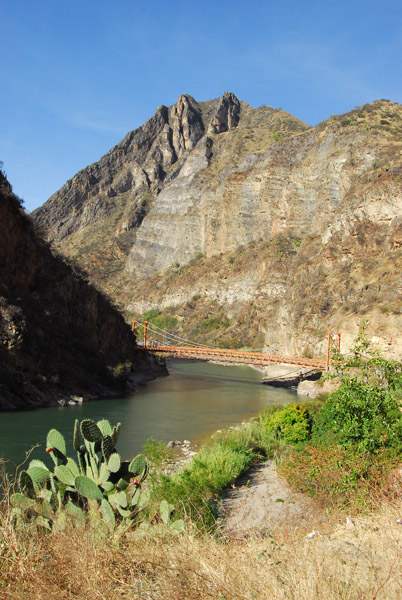
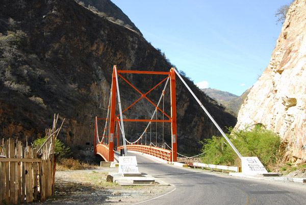 Suspension Bridge across the Rio Apurimac |
 Mountains above the Rio Apurimac |
 Rio Apurimac valley |
 Rio Apurimac |
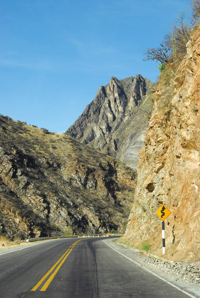
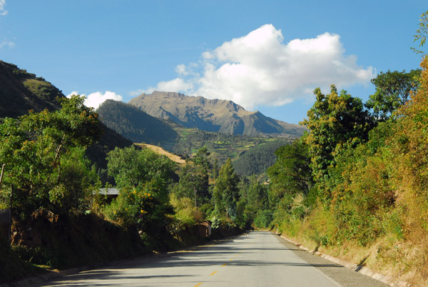 Road to Cusco |
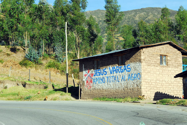 Political campaign ad for Jesus Vargas |
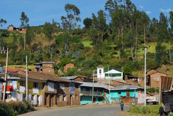 Huillque (3610m) 52 km to Cusco |
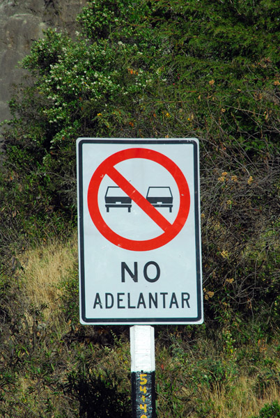 No Adelantar road sign |
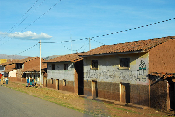 Ubaldo y Wilbert Alcaldes |
 A couple of potholes |
 Broad flat valley near Andenes, just west of Cusco |
 Broad flat valley near Andenes, just west of Cusco |
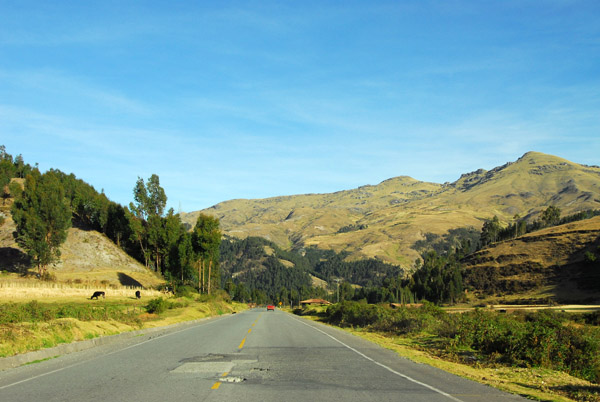
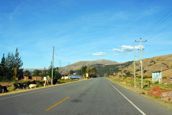 The first stretch of straight road we've seen since Lima 6 days ago |
 The home stretch to Cusco |
 Almost there... |
 Open terrain just west of Cusco |
| comment | share |