


|
|
|
|
|
|
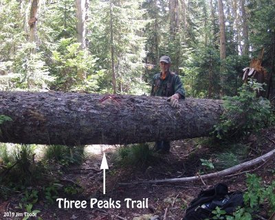
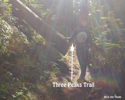
| bchw | profile | all galleries >> Lewis County Chapter >> Lost Lake Area >> Three Peaks Trail | tree view | thumbnails | slideshow |
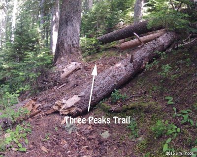
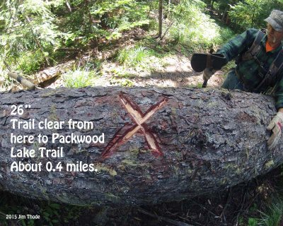 26" |
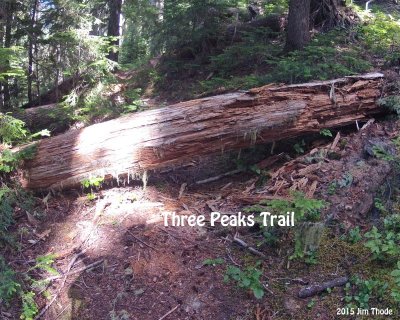
 26" |
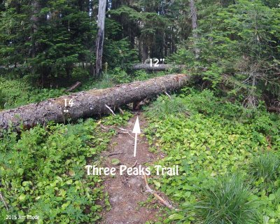 10 and 12" |
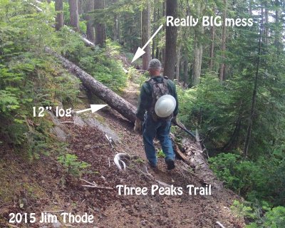
 12" |
 10" |
 12" |
 8" |
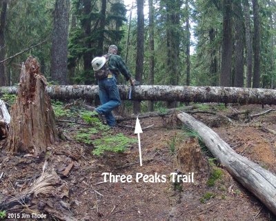
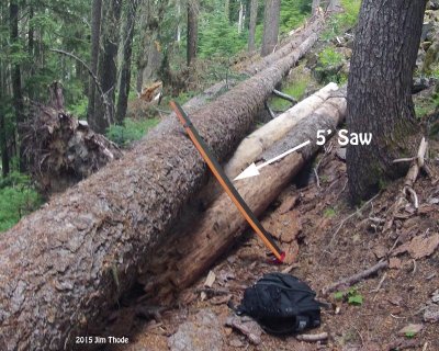
 12' |
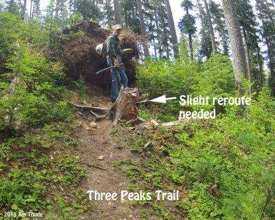 Slight reroute |
 12" |
 10" |
 Snage |
 15" |
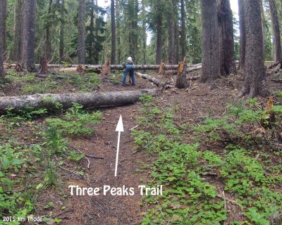
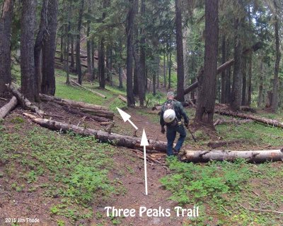
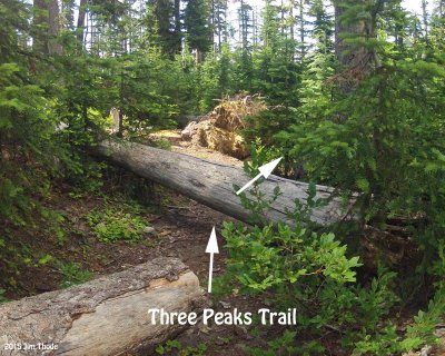
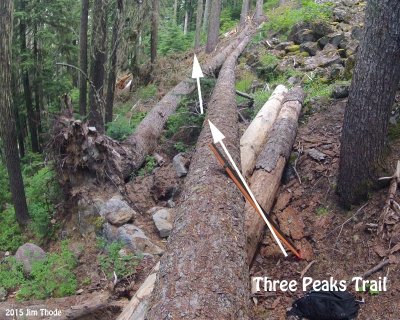
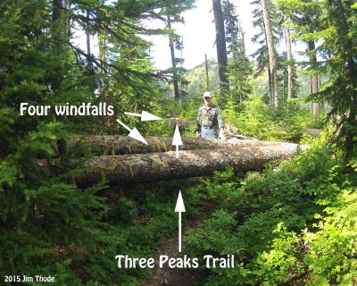 Four log group |
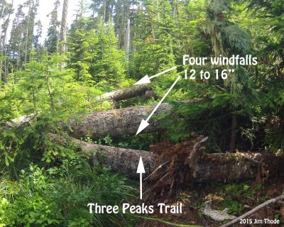 Four log group |
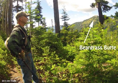 Beargrass Butte |
 15" |
 Brush |
 6" |
 4" |
 15" |
 15" |
 Brush |
 8" |
 8" (other side) |
 14" encroaching |
 Very narrow trail |
 12" |
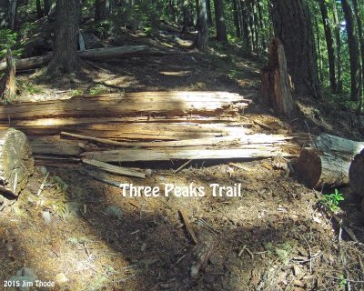
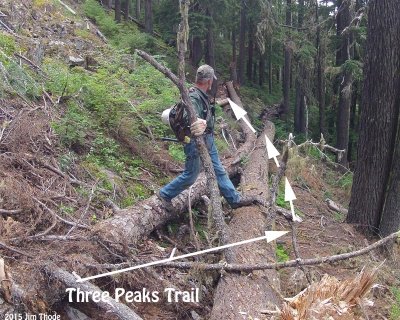 A BIG mess |
 A BIG mess |
 A BIG mess |
 14" encroaching |
 12" |
 16" |
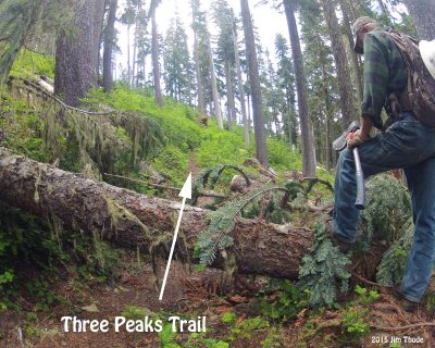
 Cleared 8-8-15 |
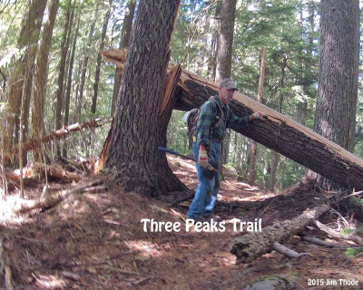 Cleared 8-8-15 |
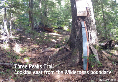 Boundary |
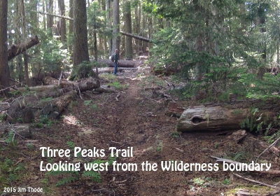 Looking west, about 24" Cleared 8-8-15 |
| comment | share |