photo sharing and upload picture albums photo forums search pictures popular photos photography help login
Type your message and click Add Comment
It is best to login or register first but you may post as a guest.
Enter an optional name and contact email address. Name
Name Email
help private comment
Suze | profile | all galleries >> Galleries >> Sea Ice tree view | thumbnails | slideshow

Sea Ice

McMurdo sound is covered by seasonal and long-term sea ice. Our dept teaches classes in Sea Ice Safety and Travel, and much research is conducted from camps on the ice (which is usually about 6-14' thick), studying penguins, seals, and marine biology and other marine sciences via dive holes. From 2000 to 2005, a massive ice berg (originally as big as Connecticut) broke off the Ross Ice Shelf and became "stuck" off of Ross Island, blocking currents and causing a massive build-up of sea ice that has led to localized reductions of seal and penguin populations (not to mention great difficulty for the USAP in getting ice-breaker ships to bang out a channel to McMurdo so our annual resupply can get in).
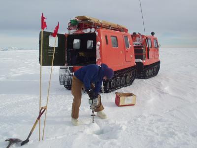
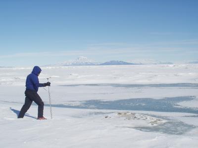
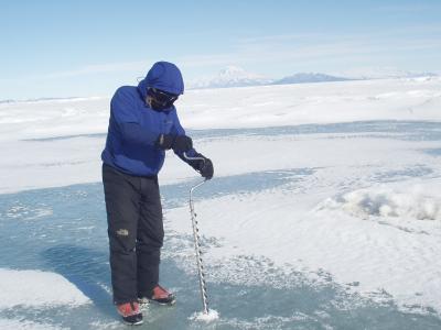
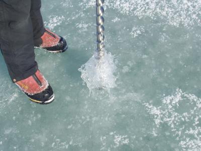
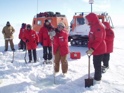
1- Sea Ice course drilling.JPG
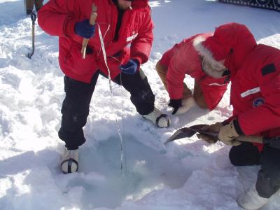
2- Sea Ice course with artesian hole.JPG
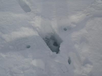
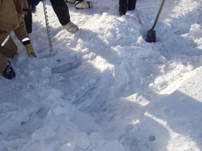
3- Sea Ice course small double crack.JPG
4- Straight edge crack with drill holes.jpg
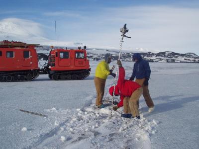
5- Drilling sea ice crack Hagglunds vehicle.jpg
6- Checking thickness of healed sea ice crack.jpg
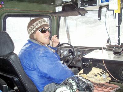
7- Inside sea ice course vehicle Hagglunds .jpg
8- Turks Head crack 11-28-04.JPG
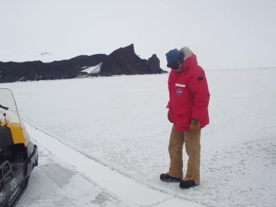
9- Crack with Turks Head behind.JPG
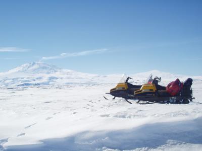
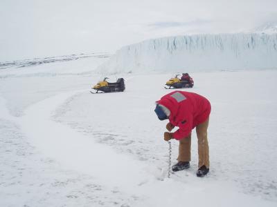
10- Drilling Barne crack Barne Glacier behind.JPG
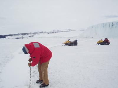
11- L drilling Barne crack.JPG
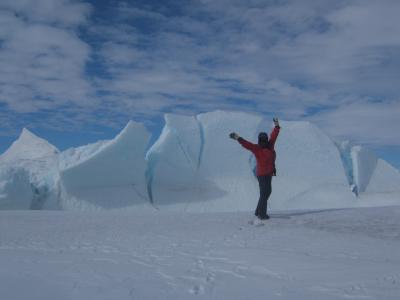
12- S at pressure ridge.JPG
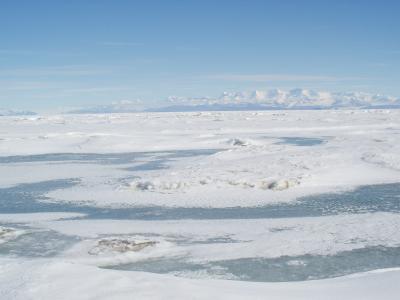
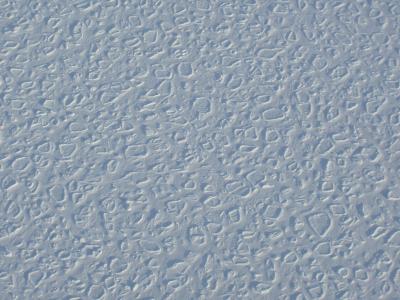
13- Refrozen and drifted pancake ice from air.JPG
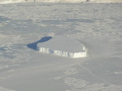
14- Iceberg frozen into sea ice.JPG
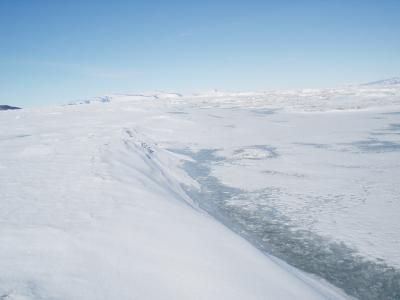
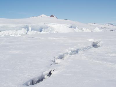
15- Late season crack and Castle Rock.JPG
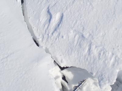
16- Drifted in late season crack.JPG
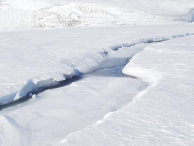
17- Late season crack with snow drifting and water.JPG
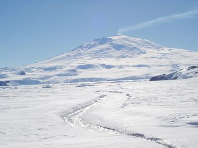
18- Late season crack and Erebus.JPG
19- Refrozen icebreaker channel.JPG
20- Refrozen breaker channel.JPG
21- Matt approaching edge of breaker channel.JPG
22- Matt checking thickness of breaker channel.JPG
23- Refrozen breaker channel but not very thick.JPG
24- Mt Erebus on day Matt  I went out  to check on breaker channel thickness.JPG
24- Mt Erebus on day Matt I went out to check on breaker channel thickness.JPG