


|
|
|
|
|
|
| Alex Foong | profile | all galleries >> Endau Rompin State Park, Malaysia >> Endau Rompin State Park, Pahang, Malaysia | tree view | thumbnails | slideshow |
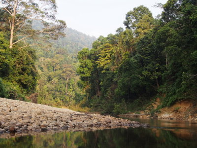
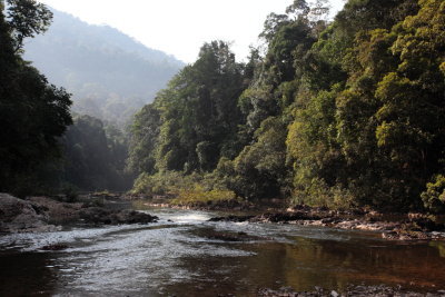
 DPP_00320.JPG |
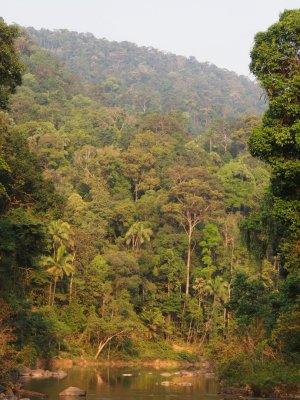
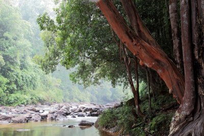
 DPP_00319.JPG |
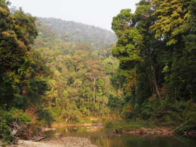
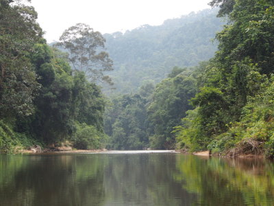
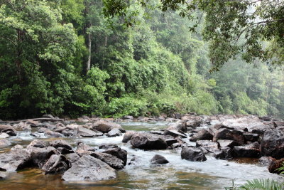
 DPP_00318.JPG |
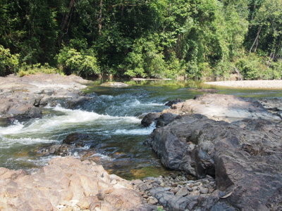
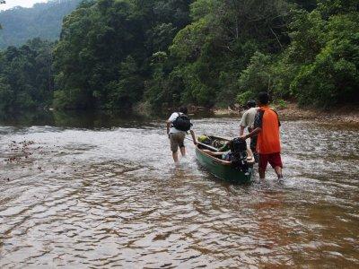
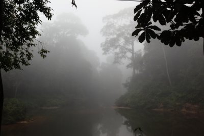
 DPP_00317.JPG |
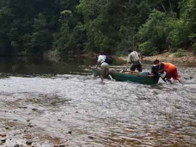
 DPP_00321.JPG |
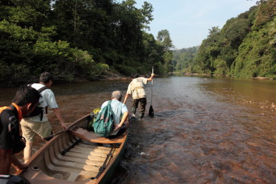
 DPP_00322.JPG |
 DPP_00323.JPG |
 DPP_00326.JPG |
 DPP_00328.JPG |
 DPP_00329.JPG |
 DPP_00330.JPG |
 DPP_00334.JPG |
 DPP_00335.JPG |
 DPP_00336.JPG |
 DPP_00337.JPG |
 DPP_00340.JPG |
 DPP_00341.JPG |
 DPP_00342.JPG |
 DPP_00345.JPG |
 DPP_00346.JPG |
 DPP_00347.JPG |
 DPP_00349.JPG |
 DPP_00350.JPG |
 DPP_00384.JPG |
 DPP_00388.JPG |
 IMG_52815.JPG |
 IMG_52734.JPG |
 IMG_53153.JPG |
 IMG_53073.JPG |
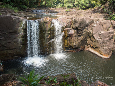
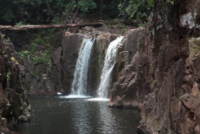 Takah koksun Coordinate: N2deg 34' 08.2" E101deg 21' 19.3" |
 Takah koksun Coordinate: N2deg 34' 08.2" E101deg 21' 19.3" |
 IMG_53353.JPG |
 IMG_53383.JPG |
 IMG_53463.JPG |
 P80502024.JPG |
 P80501843.JPG |
 P80502073.JPG |
 P8050218.JPG |
 IMG_5425.JPG |
 P8050166.JPG |
| comment | share |
| joseantonio | 25-Jun-2012 16:28 | |