


|
|
|
|
|
|
| Sunbird Photos by Don Boyd | profile | all galleries >> Landscape and Aerial Stock Photos Gallery >> Aerial Landscape Stock Photos Gallery >> Ft. Lauderdale and Broward County Aerial Stock Photos Gallery | tree view | thumbnails | slideshow |
Most stock images are available for commercial licensing at reasonable prices. We can provide large size (usually landscape mode but portrait mode for some) 300dpi unsharpened TIF or JPG files fast via e-mail attachment. Please contact us at SunbirdPhotos@gmail.com or 305-401-9225 for a fast quote for your intended usage.
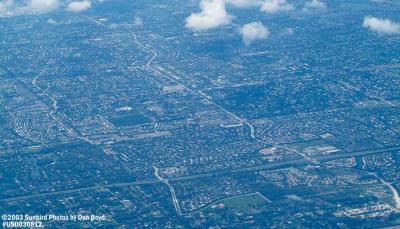
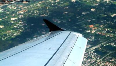
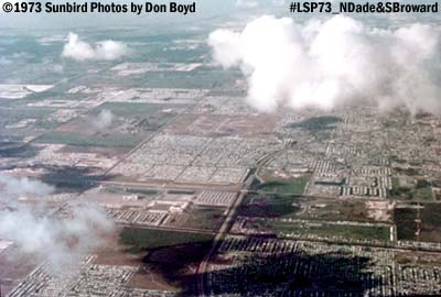 1973 - view of North Dade/South Broward and North Perry Airport aerial stock photo |
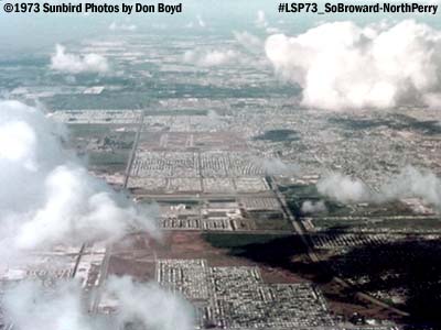 1973 - view of North Dade/South Broward and North Perrry Airport aerial stock photo |
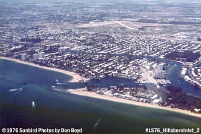 1976 - Hillsboro Inlet, FL aerial stock photo #LS76 Hillsboro Inlet 2 |
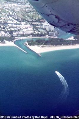 1976 - Hillsboro Inlet, FL aerial stock photo #LS76 HillsboroInlet_1 |
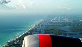 2002 - Dania Beach/Hollywood Beach from Delta B767-432 N836MH airline aerial aviation stock photo |
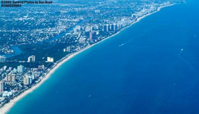
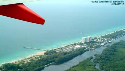 2003 - Dania Beach aerial stock photo #5264 |
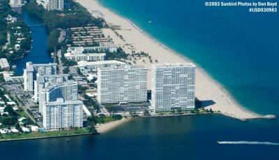
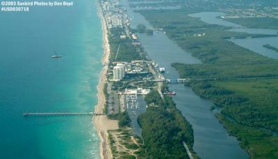 2003 - Dania Beach coastline aerial stock photo #5265 |
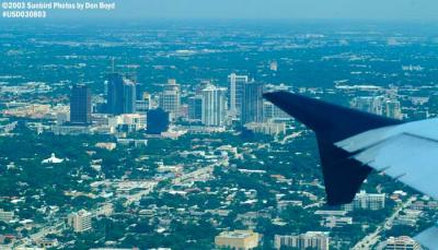 2003 - Downtown Ft. Lauderdale aerial stock photo #6049 |
 2003 - Downtown Ft. Lauderdale, FL aerial stock photo #6049 |
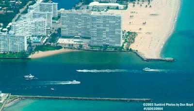 2003 - Port Everglades Inlet landscape aerial stock photo #6050 |
 2003 - Broward County, FL landscape aerial stock photo #6051 |
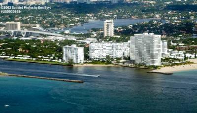
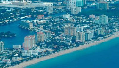 2003 - Broward beaches landscape aerial stock photo #6052 |
 2003 - Pompano Beach and fishing pier landscape aerial stock photo #6058 |
 2003 - Parkland (foreground) and Coral Springs, FL landscape aerial stock photo #6063 |
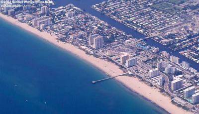
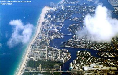 2003 - Ft. Lauderdale beach from Sunrise Boulevard to Port Everglades landscape aerial stock photo #6586 |
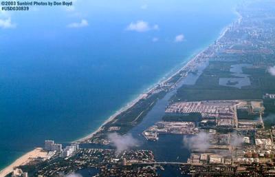 2003 - Port Everglades and John U. Lloyd State Park landscape aerial stock photo #6587 |
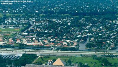
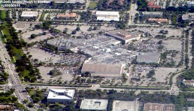 2003 - Broward Mall, Plantation, FL landscape aerial stock photo #6592) |
 2003 - South of Sawgrass Mills, Sunrise, FL landscape aerial stock photo #6593 |
 2003 - Plantation, Florida landscape aerial stock photo #6597 |
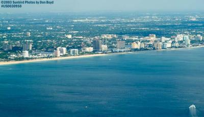 2003 - Ft. Lauderdale Beach landscape aerial stock photo #7082 |
 2003 - Port Everglades Inlet and downtown Ft. Lauderdale landscape aerial stock photo #7084 |
 2003 - Port Everglades Inlet landscape aerial stock photo #7085 |
 2003 - Port Everglades Inlet landscape aerial stock photo #7087 |
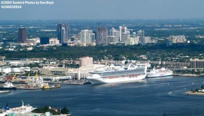 2003 - Port Everglades and downtown Ft. Lauderdale landscape aerial stock photo #7089 |
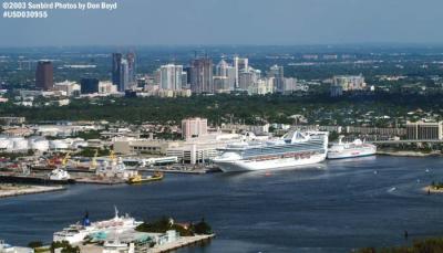 2003 - Port Everglades and downtown Ft. Lauderdale landscape aerial stock photo #7090 |
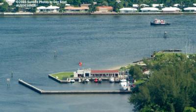 2003 - Coast Guard Station Ft. Lauderdale - Coast Guard stock photo #7092 |
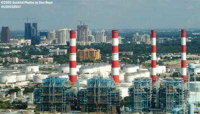 2003 - Florida Power & Light Ft. Lauderdale Power Plant landscape stock photo #7094 |
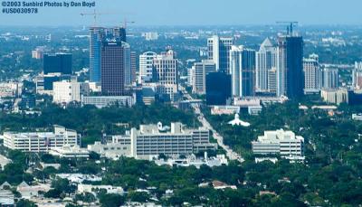 2003 - downtown Ft. Lauderdale landscape aerial stock photo #7191 |
 2003 - downtown Ft. Lauderdale landscape aerial stock photo #7192 |
 2003 - Port Everglades Inlet landscape aerial stock photo #7195 |
 2003 - Ft. Lauderdale beach landscape aerial stock photo #7197 |
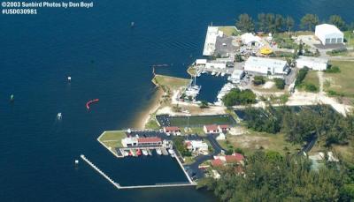 2003 - Coast Guard Station Ft. Lauderdale - Coast Guard aerial stock photo #7194 |
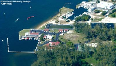 2003 - Coast Guard Station Ft. Lauderdale - Coast Guard aerial stock photo #7196 |
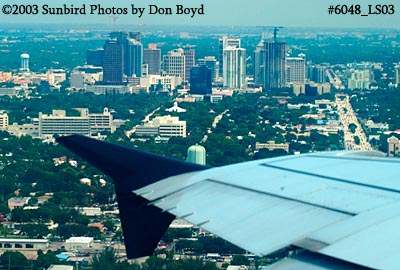 2003 - Downtown Ft. Lauderdale landscape aerial stock photo #6048 |
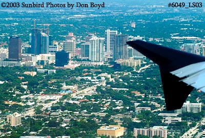 2003 - Downtown Ft. Lauderdale landscape aerial stock photo #6049 |
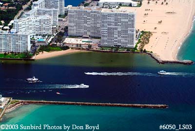 2003 - Port Everglades Inlet landscape aerial stock photo #6050 |
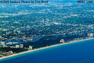 2003 - Ft. Lauderdale Beach landscape aerial stock photo #6053 |
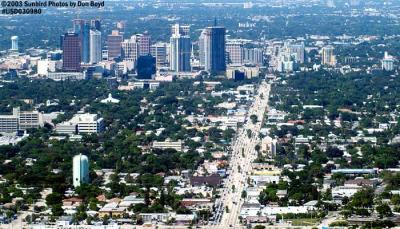
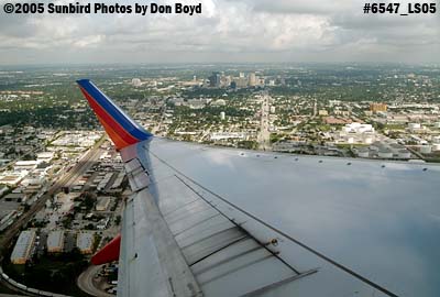 2005 - Downtown Ft. Lauderdale landscape aerial stock photo #6547 |
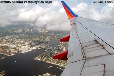 2005 - Turning basin at Port Everglades, FL aerial landscape stock photo #6548 |
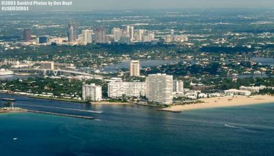
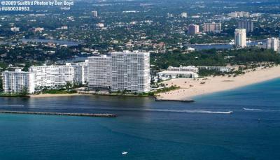
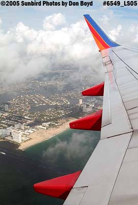 2005 - Port Everglades and Ft. Lauderdale beach aerial landscape stock photo #6549 |
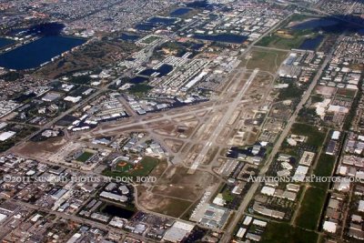
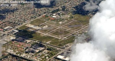 2007 - North Perry Airport, Broward County landscape aerial stock photo #2100 |
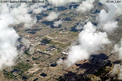 2007 - Miramar, Pembroke Pines and Hollywood in Broward County landscape aerial stock photo #2100 |
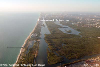 2007 - John U. Lloyd State Park and Dania Beach aerial stock photo #2670 |
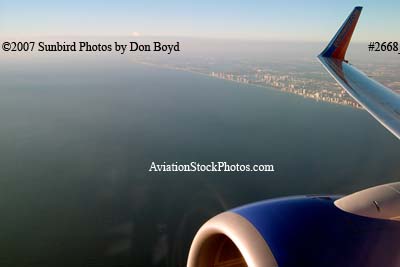 2007 - the south Broward coastline aerial stock photo #2671 |
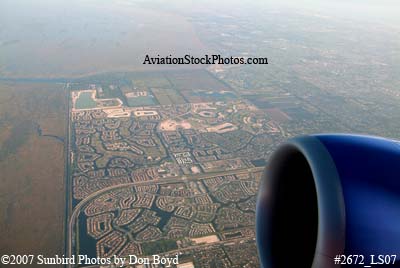 2007 - Coral Springs and Parkland aerial stock photo #2672 |
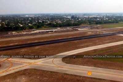
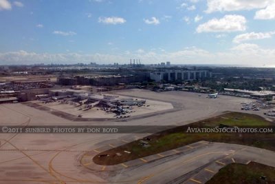 2011 - Ft. Lauderdale-Hollywood International Airport viewed from a runway 13 takeoff aerial stock photo |
 2011 - Ft. Lauderdale-Hollywood International Airport from a runway 13 takeoff aerial stock photo |
 2011 - Ft. Lauderdale-Hollywood International Airport viewed from runway 13 takeoff aerial stock photo |
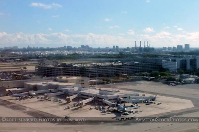
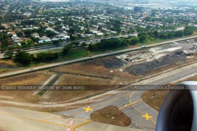
 2011 - the east side of Ft. Lauderdale-Hollywood International Airport aerial stock photo |
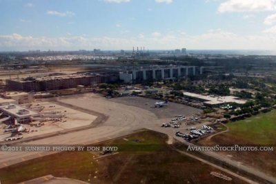
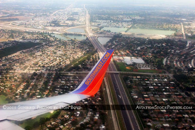
 2011 - US 1 and the main entrance to Ft. Lauderdale-Hollywood International Airport aerial landscape stock photo |
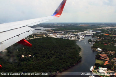
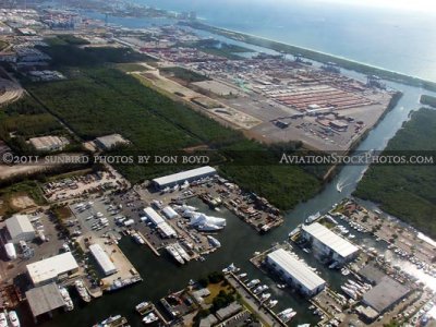 2011 - east of FLL with the Harbour Towne Marina, Dania Cut-Off Canal, and Port Everglades aerial landscape stock photo |
 2011 - east of FLL with the Harbour Towne Marina, Dania Cut-Off Canal, and Port Everglades aerial landscape stock photo |
 2011 - Port Everglades and John U. Lloyd State Park aerial landscape stock photo |
 2011 - Port Everglades and John U. Lloyd State Park aerial landscape stock photo |
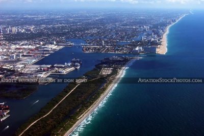
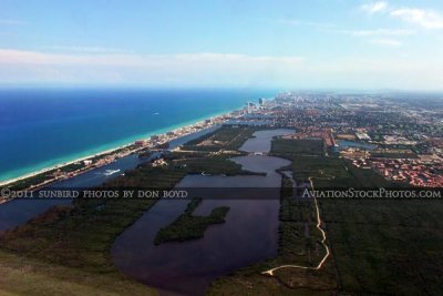
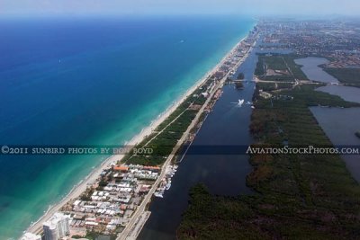
 2011 - Port Everglades, John U. Lloyd State Park and Ft. Lauderdale beaches landscape aerial stock photo |
 2011 - John U. Lloyd State Park and Port Everglades Inlet landscape aerial stock photo |
 2011 - John U. Lloyd State Park and Port Everglades Inlet landscape aerial stock photo |
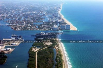
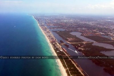
 2011 - John U. Lloyd State Park, Port Everglades Inlet and Ft. Lauderdale beaches landscape aerial stock photo |
 2011 - John U. Lloyd State Park, Port Everglades Inlet and Ft. Lauderdale beaches landscape aerial stock photo |
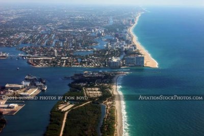
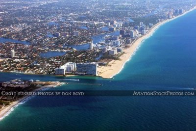
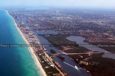
 2011 - Port Everglades Inlet and Ft. Lauderdale beaches landscape aviation stock photo |
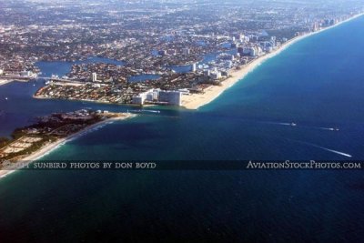
 2011 - Port Everglades Inlet and the southern end of Ft. Lauderdale beaches landscape aerial stock photo |
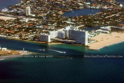
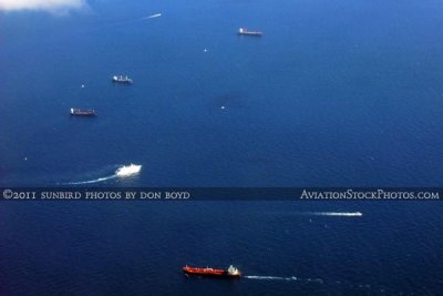 2011 - small freighter leaving Port Everglades for points south |
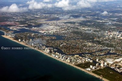
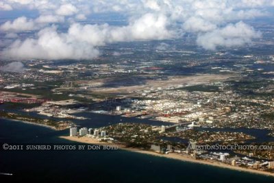 2011 - Ft. Lauderdale beaches, Port Everglades and Ft. Lauderdale-Hollywood International Airport aerial stock photo |
 2011 - Ft. Lauderdale beaches, Port Everglades and Ft. Lauderdale-Hollywood International Airport aerial stock photo |
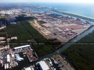
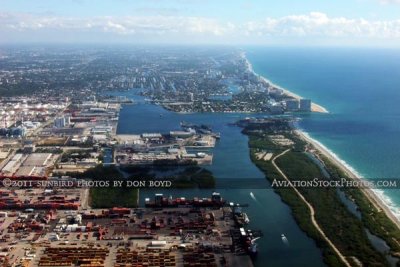
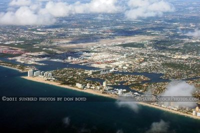
 2011 - Port Everglades and Ft. Lauderdale-Hollywood International Airport landscape aerial stock photo |
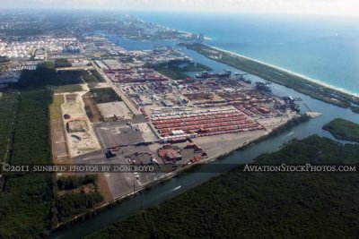
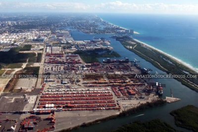
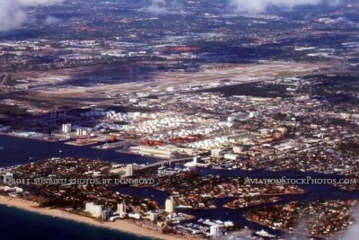
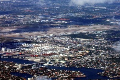 2011 - Tank farm at Port Everglades and Ft. Lauderdale-Hollywood International Airport landscape aerial stock photo |
 2011 - the coastline of Ft. Lauderdale with Ft. Lauderdale-Hollywood International Airport in the background aerial stock photo |
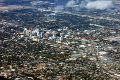 2011 - downtown Ft. Lauderdale landscape aerial stock photo |
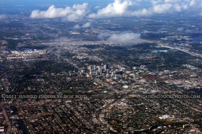 2011 - downtown Ft. Lauderdale landscape aerial stock photo |
 2011 - Ft. Lauderdale Executive Airport landscape aerial stock photo |
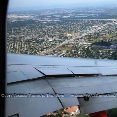
 2011 - south side of FLL and the residential community in Dania Beach aerial stock photo |
 2011 - Dania Beach commercial and residential areas south of FLL aerial stock photo |
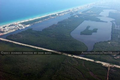
 2011 - coastline, West Lake and West Lake Park landscape aerial stock photo |
 2011 - coastline from Dania Beach to Hollywood and beyond landscape aerial stock photo |
 2011 - coastline from Dania Beach to Hollywood and beyond landscape aerial stock photo |
 2011 - Hollywood's North Beach Park and coastline southward landscape aerial stock photo |
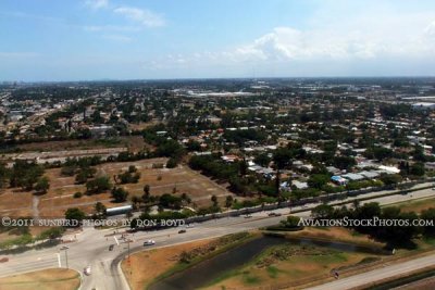
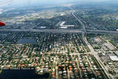 2011 - over Plantation east of South University Drive and north of I-595 landscape aerial photo |
 2011 - Plantation east of the Turnpike and just north of Peters Road landscape aerial photo |
 2011 - Plantation and on approach to Ft. Lauderdale-Hollywood International Airport's runway 13 aerial stock photo |
 2011 - Secret Woods Park and the New River landscape aerial stock photo |
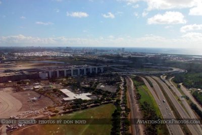
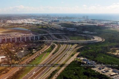
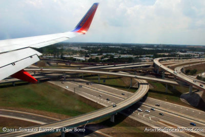 2011 - the I-95 / I-595 highway interchange at the northwest corner of FLL landscape aerial stock photo |
 2011 - the south side of FLL and the Dania Beach residential community landscape aerial stock photo |
 2011 - the south side of FLL and the Dania Beach residential community south of the airport aerial stock photo |
 2011 - Dania Beach south of Ft. Lauderdale-Hollywood International Airport landscape aerial stock photo |
 2011 - Dania Beach Boulevard, West Lake Park and West Lake landscape aerial stock photo |
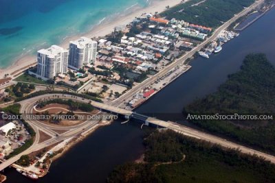 2011 - East Dania Beach Boulevard and A1A in Dania Beach landscape aerial stock photo |
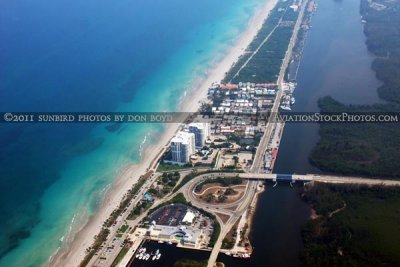 2011 - East Dania Beach Boulevard and A1A in Dania Beach landscape aerial stock photo |
 2011 - a small freighter leaving Port Everglades enroute to points south |
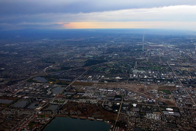 2011 - storm clouds west of Broward over the Everglades landscape aerial stock photo |
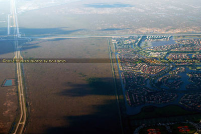 2014 - aerial view of the US 27 I-75 interchange that wiped out Andytown - Weston on the right stock photo #4803 |
| comment | share |
| Frank | 17-Feb-2008 18:36 | |