photo sharing and upload picture albums photo forums search pictures popular photos photography help login
Type your message and click Add Comment
It is best to login or register first but you may post as a guest.
Enter an optional name and contact email address. Name
Name Email
help private comment
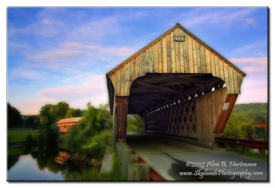
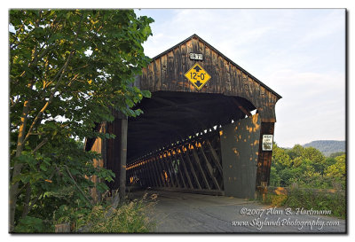
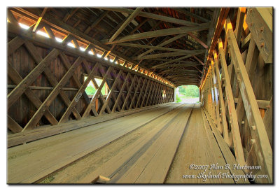
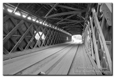
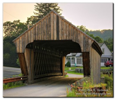
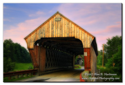
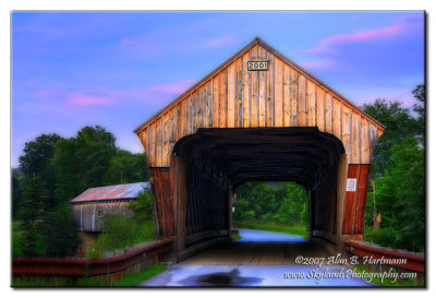
Alan Hartmann | profile | all galleries >> Covered Bridges >> Covered Bridges of Vermont >> 45-14-02 / 45-14-64 #2 Windsor County, North Hartland East & West Twin tree view | thumbnails | slideshow | map

45-14-02 / 45-14-64 #2 Windsor County, North Hartland East & West Twin

Rt. 5 to Evarts Rd (at the I-91 overpass), 0.1 mile SE to Mill St, 0.1 mile to bridges. Hartland VT

Spans the Ottauquechee River

45-14-02 is also known as the Willard CB.

N43 35.610 W72 21.010
PBase Maps
[ Yahoo! Maps ]
North Hartland, VT
IA7X9884.JPG
IA7X9884.JPG
IA7X9888.JPG
IA7X9888.JPG
IA7X9896_4_5.jpg
IA7X9896_4_5.jpg
IA7X9896_4_5-BW.jpg
IA7X9896_4_5-BW.jpg
IA7X9899_7.jpg
IA7X9899_7.jpg
IA7X9906_5.jpg
IA7X9906_5.jpg
IA7X9910_08-09.jpg
IA7X9910_08-09.jpg