


|
|
|
|
|
|
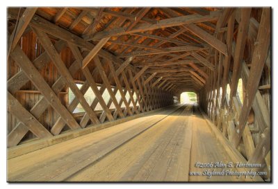
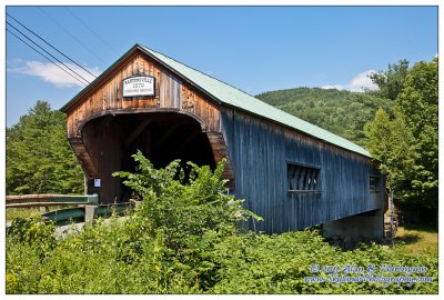
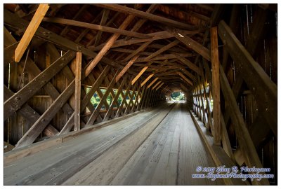
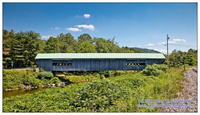
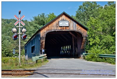
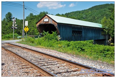
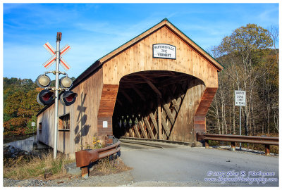
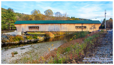
| Alan Hartmann | profile | all galleries >> Covered Bridges >> Covered Bridges of Vermont >> 45-13-11 Windham County, Bartonsville CB | tree view | thumbnails | slideshow | map |
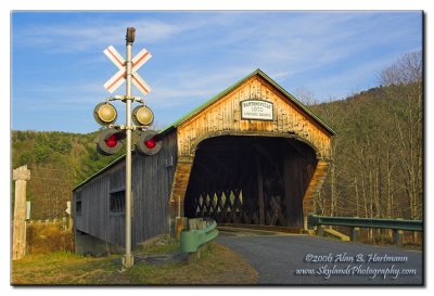 IA7X7059.jpg |
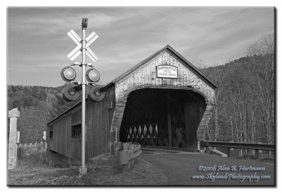 IA7X7059-BW.jpg |
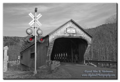 IA7X7059-BWRedLights.jpg |
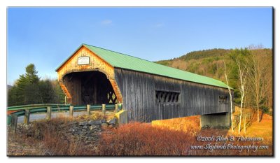 IA7X7064.jpg |
 IA7X7069.jpg |
 IMG_8046.jpg |
 IMG_8060.jpg |
 IMG_8065.jpg |
 IMG_8070.jpg |
 IMG_8079.jpg |
 SKY13380.jpg |
 SKY13388.jpg |
 SKY13390.jpg |
 SKY13392.jpg |
| comment | share |
| Phil Smith | 24-Jan-2010 17:23 | |