


|
|
|
|
|
|
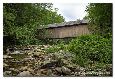
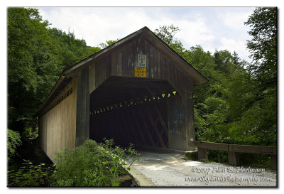
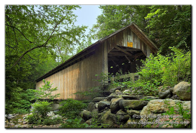
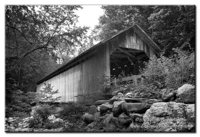
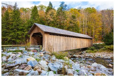
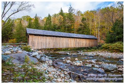
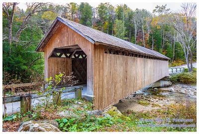
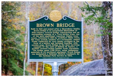
| Alan Hartmann | profile | all galleries >> Covered Bridges >> Covered Bridges of Vermont >> 45-11-09 Rutland County, Brown CB | tree view | thumbnails | slideshow | map |
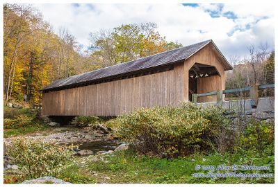
 IA7X9673_2.jpg |
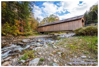
 IA7X9678.JPG |
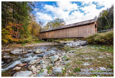
 IA7X9681_79.jpg |
 IA7X9681_79-BW.jpg |
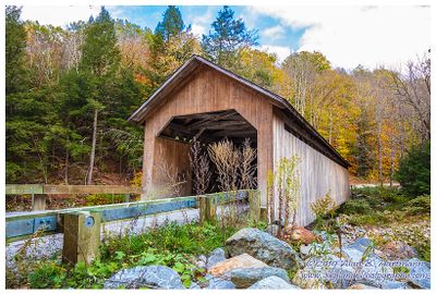
 IA7X9682.JPG |
 IA7X9689.JPG |
 IA7X9694_2-BW.jpg |
 IA7X9696.JPG |
 SKY18814.jpg |
 SKY18818.jpg |
 SKY18822.jpg |
 SKY18827.jpg |
 SKY18830.jpg |
 SKY18833.jpg |
 SKY18837.jpg |
 SKY18843.jpg |
| comment | share |