photo sharing and upload picture albums photo forums search pictures popular photos photography help login
Type your message and click Add Comment
It is best to login or register first but you may post as a guest.
Enter an optional name and contact email address. Name
Name Email
help private comment
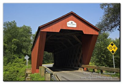
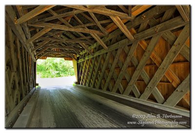
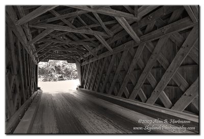
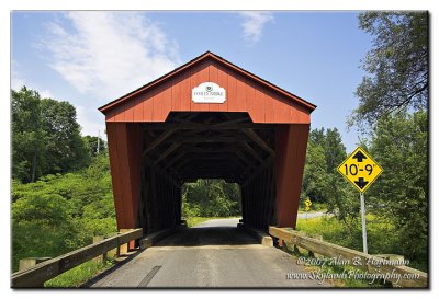
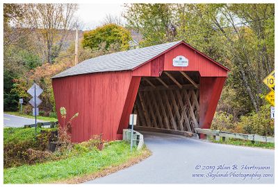
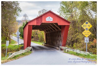
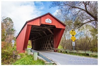
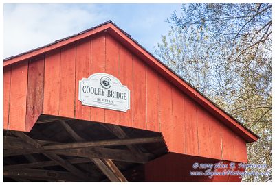
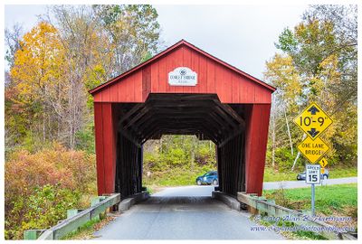
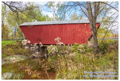
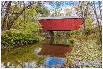
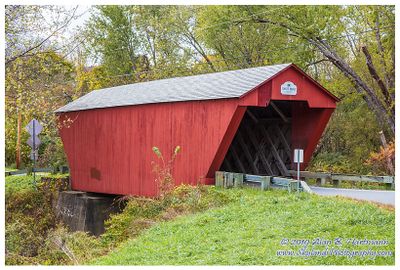
Alan Hartmann | profile | all galleries >> Covered Bridges >> Covered Bridges of Vermont >> 45-11-07 Rutland County, Cooley Covered Bridge tree view | thumbnails | slideshow | map

45-11-07 Rutland County, Cooley Covered Bridge

On Elm St., 0.8 miles north of Gorham Bridge Rd, Pittsford Twp.

Spans Furnace Brook

GPS 43.69040 -73.0286
Google Maps

Covered Bridge Information
IA7X9738.JPG
IA7X9738.JPG
IA7X9744_2_3.jpg
IA7X9744_2_3.jpg
IA7X9744_2_3-Sepia.jpg
IA7X9747.JPG
IA7X9747.JPG
SKY18741.jpg
SKY18741.jpg
SKY18744.jpg
SKY18744.jpg
SKY18756-2.jpg
SKY18756-2.jpg
SKY18760.jpg
SKY18760.jpg
SKY18763.jpg
SKY18763.jpg
SKY18770.jpg
SKY18770.jpg
SKY18775.jpg
SKY18775.jpg
SKY18782.jpg
SKY18782.jpg