


|
|
|
|
|
|
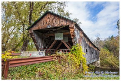
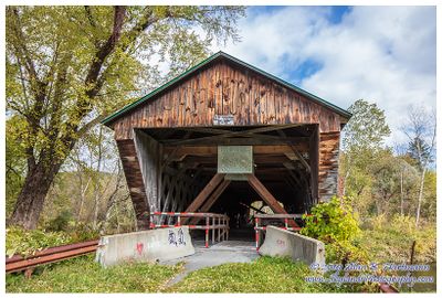
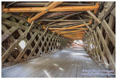
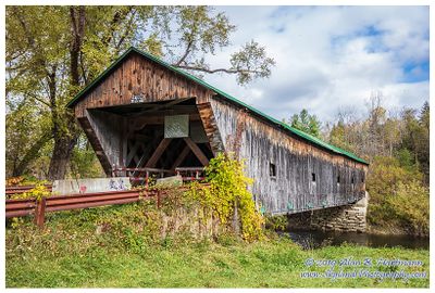
| Alan Hartmann | profile | all galleries >> Covered Bridges >> Covered Bridges of Vermont >> 45-11-05 Rutland County, Hammond Covered Bridge | tree view | thumbnails | slideshow | map |
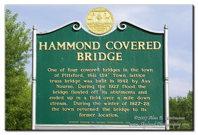
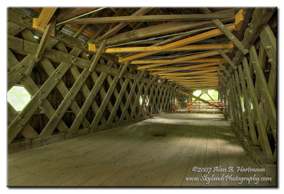 IA7X9785_79_82_83.jpg |
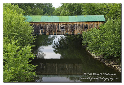 IA7X9787.JPG |
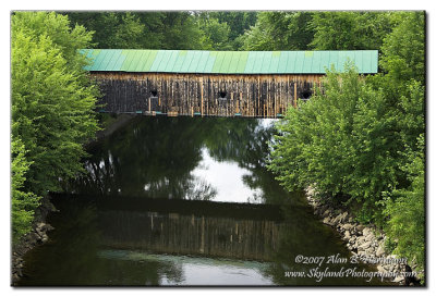 IA7X9789.JPG |
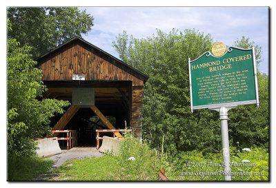 IA7X9792.JPG |
 IA7X9793.JPG |
 SKY18691.jpg |
 SKY18695.jpg |
 SKY18700.jpg |
 SKY18703.jpg |
 SKY18706.jpg |
 SKY18708.jpg |
 SKY18711.jpg |
| comment | share |