photo sharing and upload picture albums photo forums search pictures popular photos photography help login
Type your message and click Add Comment
It is best to login or register first but you may post as a guest.
Enter an optional name and contact email address. Name
Name Email
help private comment
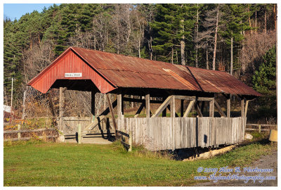
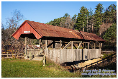
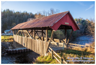
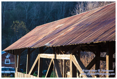
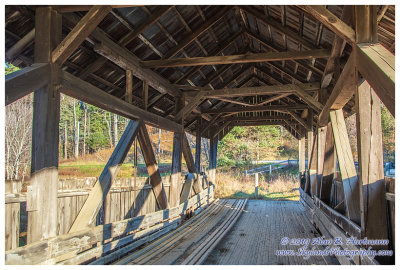
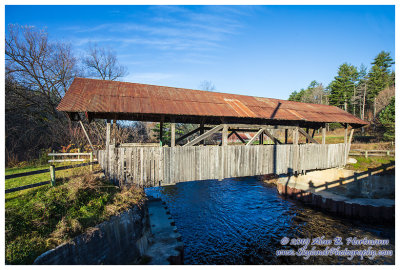
Alan Hartmann | profile | all galleries >> Covered Bridges >> Covered Bridges of Vermont >> 45-03-07 Caledonia County, Randall CB tree view | thumbnails | slideshow | map

45-03-07 Caledonia County, Randall CB

AKA "Old Burrington" or "Sawmill".

On Burrington Bridge Rd, just south of Rt 122, 4 miles east of Rt 5 in Lyndon.
Spans the East Branch Passumpsic River.
GPS 44.5533, -71.9695
PBase Maps

SKY25636.jpg
SKY25636.jpg
SKY25638.jpg
SKY25638.jpg
SKY25643HDR.jpg
SKY25643HDR.jpg
SKY25644.jpg
SKY25644.jpg
SKY25650HDR.jpg
SKY25650HDR.jpg
SKY25652Edit.jpg
SKY25652Edit.jpg