photo sharing and upload picture albums photo forums search pictures popular photos photography help login
Type your message and click Add Comment
It is best to login or register first but you may post as a guest.
Enter an optional name and contact email address. Name
Name Email
help private comment
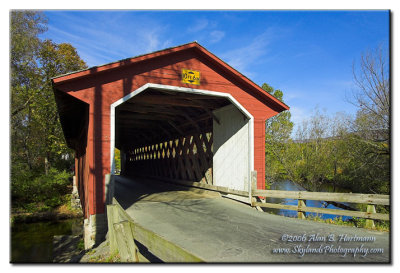
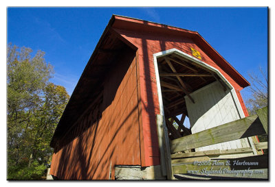
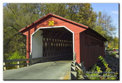
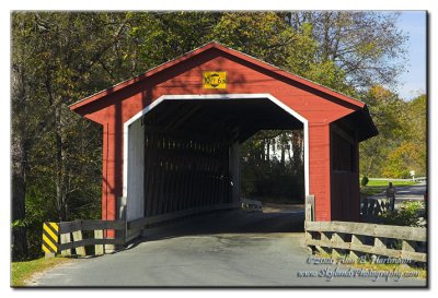
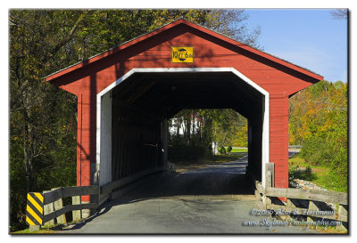
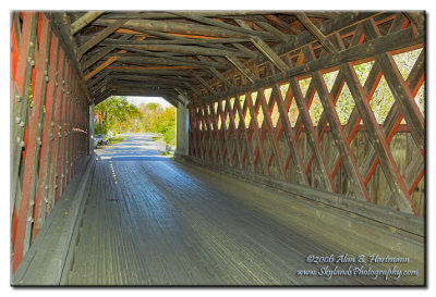
Alan Hartmann | profile | all galleries >> Covered Bridges >> Covered Bridges of Vermont >> 45-02-04 Bennington County, Locust Grove CB tree view | thumbnails | slideshow | map

45-02-04 Bennington County, Locust Grove CB

On Silk Rd., 0.2 miles south of 67A, apx 0.5 west of junction with Rt 7A, Bennington VT. Spans the Walloomsac River.

Also known as the Silk CB.

N42 54.598 W73 13.509
PBase Maps
[ Yahoo! Maps ]

Bennington VT
IA7X1075.jpg
IA7X1075.jpg
IA7X1079.jpg
IA7X1079.jpg
IA7X1080.jpg
IA7X1080.jpg
IA7X1084.jpg
IA7X1084.jpg
IA7X1086.jpg
IA7X1086.jpg
IA7X1088.jpg
IA7X1088.jpg