photo sharing and upload picture albums photo forums search pictures popular photos photography help login
Type your message and click Add Comment
It is best to login or register first but you may post as a guest.
Enter an optional name and contact email address. Name
Name Email
help private comment
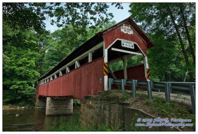
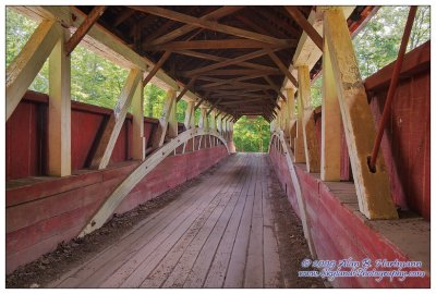
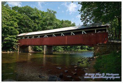
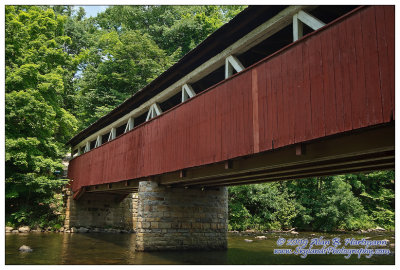
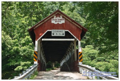
Alan Hartmann | profile | all galleries >> Covered Bridges >> Covered Bridges of Pennsylvania >> 38-56-12 Somerset County, Lower Humbert Covered Bridge tree view | thumbnails | slideshow | map

38-56-12 Somerset County, Lower Humbert Covered Bridge

Also known as the Faidley Covered Bridge. On Covered Bridge Rd at Humbert Rd., apx 1 mile north of Rt 281 in Lower Turkeyfoot Twp. Spans Laurel Hill Creek. This bridge is about 30 minutes from Fallingwater House, via the dirt / gravel roads thru Laurel Ridge State Park. Sugar Loaf Road to the south, or Rt 40 might be better alternatives if you prefer to avoid unimproved roads.

PBase Maps

N39 50.410 W79 19.380
SKY31428.jpg
SKY31428.jpg
SKY31430.jpg
SKY31430.jpg
SKY31437.jpg
SKY31437.jpg
SKY31441.jpg
SKY31441.jpg
SKY31442.jpg
SKY31442.jpg