


|
|
|
|
|
|
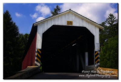
| Alan Hartmann | profile | all galleries >> Covered Bridges >> Covered Bridges of Pennsylvania >> 38-36-28 Lancaster County, Forry Mill | tree view | thumbnails | slideshow | map |
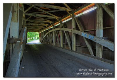 IA7X2201.JPG |
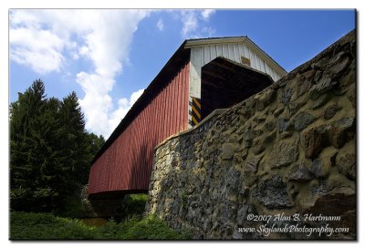 IA7X2213.JPG |
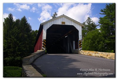 IA7X2218.JPG |
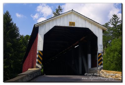 IA7X2220.jpg |
 IA7X2220-2.jpg |
| comment | share |