photo sharing and upload picture albums photo forums search pictures popular photos photography help login
Type your message and click Add Comment
It is best to login or register first but you may post as a guest.
Enter an optional name and contact email address. Name
Name Email
help private comment
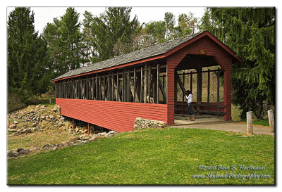
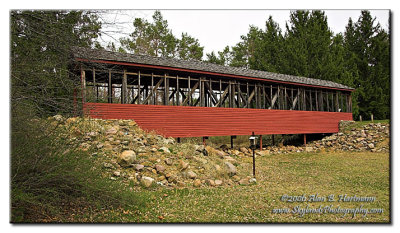
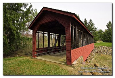
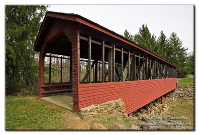
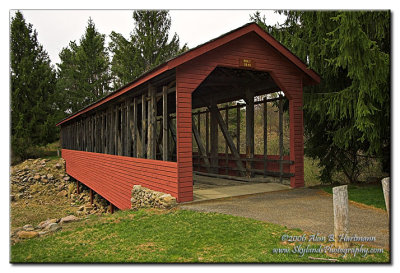
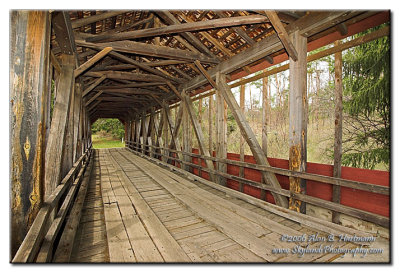
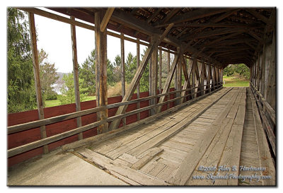
Alan Hartmann | profile | all galleries >> Covered Bridges >> Covered Bridges of Pennsylvania >> 38-13-01 Carbon County, Harrity Covered Bridge tree view | thumbnails | slideshow | map

38-13-01 Carbon County, Harrity Covered Bridge

Apx 0.3 miles south of Pohopoco Dr., in Beltzville State Park, across dry land.

N40 51.638 W75 37.647

Added to PBase Maps 5/9/08

[ Yahoo! Maps ]
Franklin Township, PA
IA7X1926
IA7X1926
IA7X1928
IA7X1928
IA7X1930
IA7X1930
IA7X1931
IA7X1931
IA7X1934
IA7X1934
IA7X1937
IA7X1937
IA7X1940
IA7X1940