photo sharing and upload picture albums photo forums search pictures popular photos photography help login
Type your message and click Add Comment
It is best to login or register first but you may post as a guest.
Enter an optional name and contact email address. Name
Name Email
help private comment
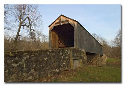
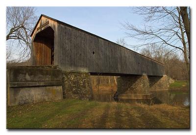
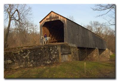
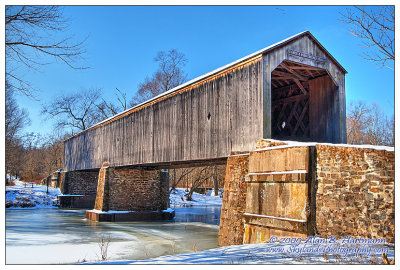
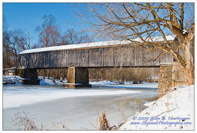
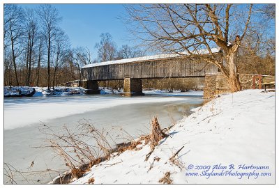
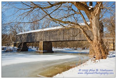
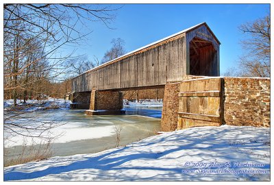
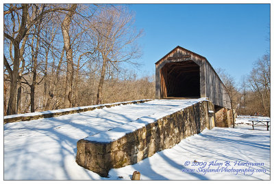
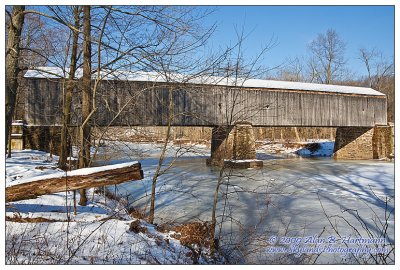
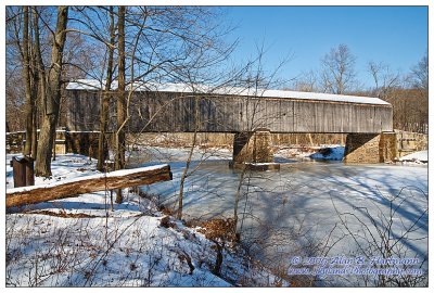
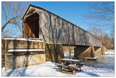
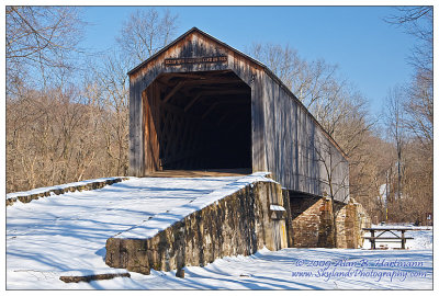
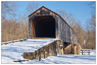
Alan Hartmann | profile | all galleries >> Covered Bridges >> Covered Bridges of Pennsylvania >> 38-09-13 Bucks County, Twinning Ford Covered Bridge tree view | thumbnails | slideshow | map

38-09-13 Bucks County, Twinning Ford Covered Bridge

Also known as Schofield Ford and Solly’s Bridge, this bridge spans Neshaminy Creek in Tyler State Park in Newtown & Northampton Townships. If you visit, be aware there are several entrances to the park -- the bridge is nearest to the entrance on Swamp Rd, about 1/2 mile northwest of Bucks County Community College.
N40 14.652 W74 58.850

Added to PBase Maps5/9/08

[ Yahoo! Maps ]
Newtown, PA
CRW_7947
CRW_7947
CRW_7948
CRW_7948
CRW_7951
CRW_7951
SKY23767.jpg
SKY23767.jpg
SKY23769.jpg
SKY23769.jpg
SKY23772.jpg
SKY23772.jpg
SKY23775.jpg
SKY23775.jpg
SKY23777.jpg
SKY23777.jpg
SKY23781.jpg
SKY23781.jpg
SKY23786.jpg
SKY23786.jpg
SKY23787.jpg
SKY23787.jpg
SKY23793.jpg
SKY23793.jpg
SKY23796.jpg
SKY23796.jpg
SKY23799.jpg
SKY23799.jpg