


|
|
|
|
|
|
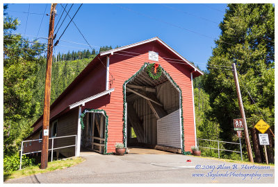
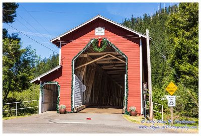
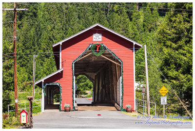
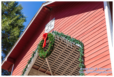
| Alan Hartmann | profile | all galleries >> Covered Bridges >> Covered Bridges of Oregon >> 37-20-39 Lane County, Office CB | tree view | thumbnails | slideshow | map |
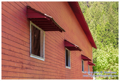
 SKY21300.jpg |
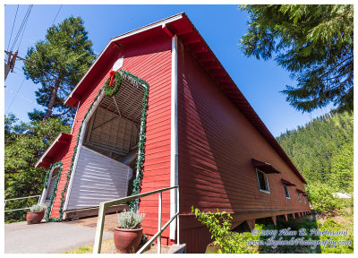
 SKY21303.jpg |
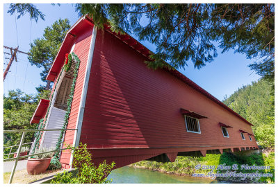
 SKY21304.jpg |
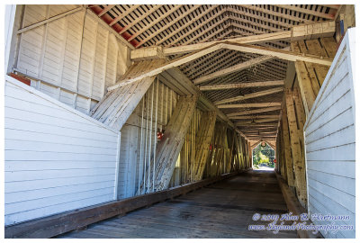
 SKY21314.jpg |
 SKY21316.jpg |
 SKY21319.jpg |
 SKY21324.jpg |
 SKY21325.jpg |
 SKY21330.jpg |
 SKY21333.jpg |
| comment | share |