Type your message and click Add Comment
It is best to
login
or
register
first but you may post as a guest.
Enter an optional name and contact email address.
Name
Name
Email
help
private comment
Alan Hartmann |
profile
|
all galleries
>>
Covered Bridges
>>
Covered Bridges of Oregon
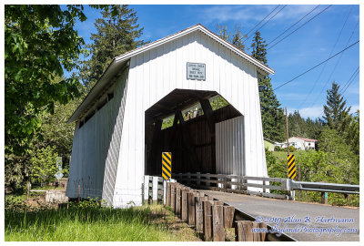
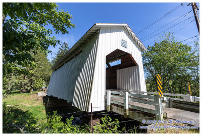
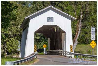
>> 37-20-02 Lane County, Coyote Creek CB
tree view
| thumbnails |
slideshow
|
map
37-20-02 Lane County, Coyote Creek CB
On Coyote Creek Rd, 0.1 mile west of Territorial Highway, and 7 miles south of Rt 126, Euguene OR.
Spans Coyote Creek
GPS: 43.9698, -123.3188
PBase Maps
SKY21118.jpg
SKY21124.jpg
SKY21129HDR.jpg
SKY21133.jpg
comment
|
share
Type your message and click Add Comment
It is best to
login
or
register
first but you may post as a guest.
Enter an optional name and contact email address.
Name
Name
Email
help
private comment
click on thumbnails for full image