photo sharing and upload picture albums photo forums search pictures popular photos photography help login
Type your message and click Add Comment
It is best to login or register first but you may post as a guest.
Enter an optional name and contact email address. Name
Name Email
help private comment
Alan Hartmann | profile | all galleries >> Covered Bridges >> Covered Bridges of New Hampshire >> #14 -- Bement Bridge, Bradford, NH tree view | thumbnails | slideshow | map

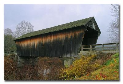
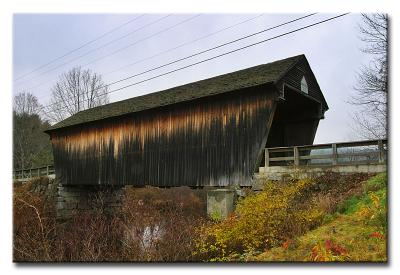
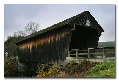
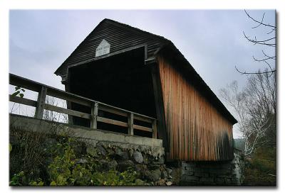
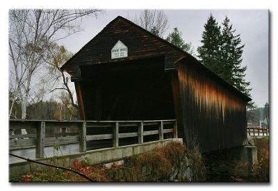
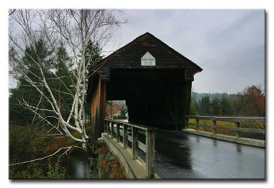
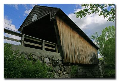
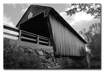
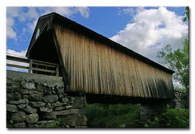
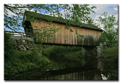
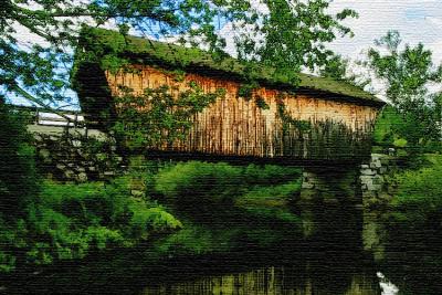
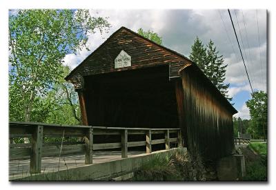
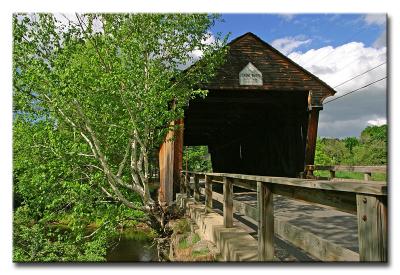
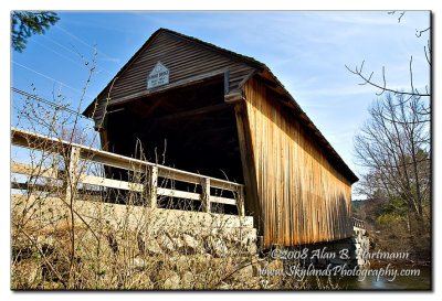
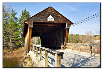
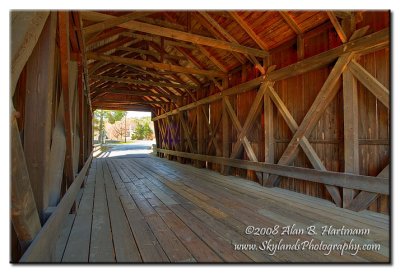
#14 -- Bement Bridge, Bradford, NH

N43 15.857 W71 57.182
Visible from Rt. 103, less than 1/2 mile west of Rt. 114. This bridge is oriented roughly north-south, with the best vantage point on the north eastern corner (ex #7199).
Added to PBase Maps, 4/27/08
[ Yahoo! Maps ]
CRW_7199
CRW_7199
CRW_7201
CRW_7201
CRW_7203
CRW_7203
CRW_7208
CRW_7208
CRW_7210
CRW_7210
CRW_7211
CRW_7211
CRW_300174
CRW_300174
CRW_300174 B&W
CRW_300174 B&W
CRW_300176
CRW_300176
CRW_300178
CRW_300178
CRW_300178 Hayes Island
CRW_300179
CRW_300179
CRW_300182
CRW_300182
SKY_2932.jpg
SKY_2932.jpg
SKY_2936.jpg
SKY_2936.jpg
SKY_2942.jpg
SKY_2942.jpg