photo sharing and upload picture albums photo forums search pictures popular photos photography help login
Alan Hartmann | profile | all galleries >> Covered Bridges >> Covered Bridges of New Hampshire >> #14 -- Bement Bridge, Bradford, NH tree view | thumbnails | slideshow | map

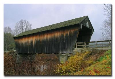
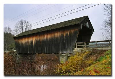
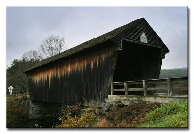
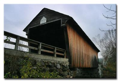
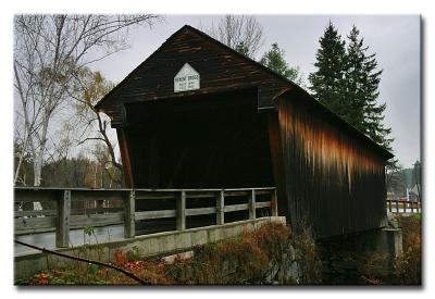
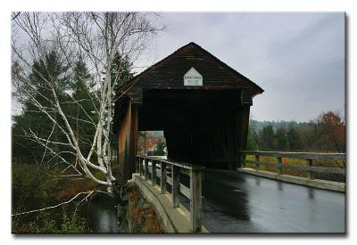
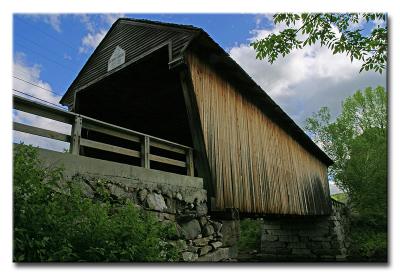
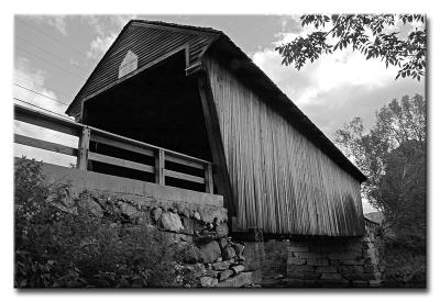
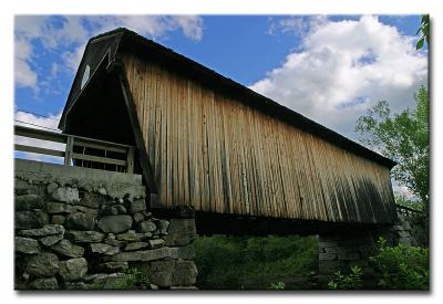
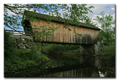
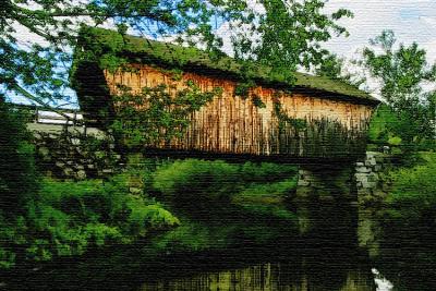
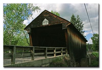
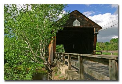
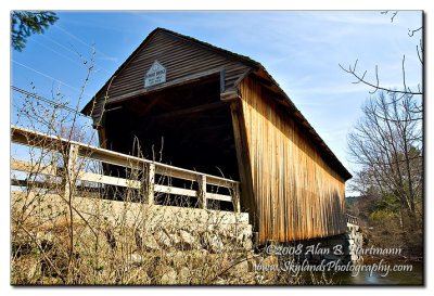
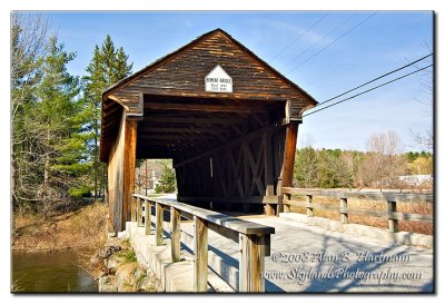
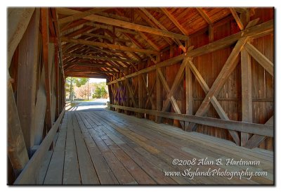
#14 -- Bement Bridge, Bradford, NH

N43 15.857 W71 57.182
Visible from Rt. 103, less than 1/2 mile west of Rt. 114. This bridge is oriented roughly north-south, with the best vantage point on the north eastern corner (ex #7199).
Added to PBase Maps, 4/27/08
[ Yahoo! Maps ]
CRW_7199
CRW_7199
CRW_7201
CRW_7201
CRW_7203
CRW_7203
CRW_7208
CRW_7208
CRW_7210
CRW_7210
CRW_7211
CRW_7211
CRW_300174
CRW_300174
CRW_300174 B&W
CRW_300174 B&W
CRW_300176
CRW_300176
CRW_300178
CRW_300178
CRW_300178 Hayes Island
CRW_300179
CRW_300179
CRW_300182
CRW_300182
SKY_2932.jpg
SKY_2932.jpg
SKY_2936.jpg
SKY_2936.jpg
SKY_2942.jpg
SKY_2942.jpg