photo sharing and upload picture albums photo forums search pictures popular photos photography help login
Type your message and click Add Comment
It is best to login or register first but you may post as a guest.
Enter an optional name and contact email address. Name
Name Email
help private comment
Alan Hartmann | profile | all galleries >> Covered Bridges >> Covered Bridges of New Hampshire >> 29-07-08 Merrimack County, Rowell's CB tree view | thumbnails | slideshow | map

29-07-08 Merrimack County, Rowell's CB

NH State Bridge #9

N43 11.531 W71 44.911
Merrimack County, Apx 1 mile north of Rt. 202, just off Rt. 127. Spans the Contoocook River.

PBase Maps
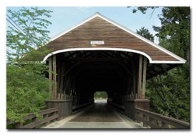
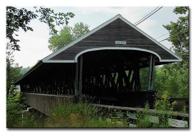
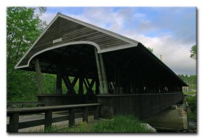
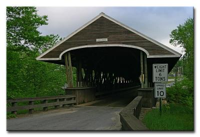
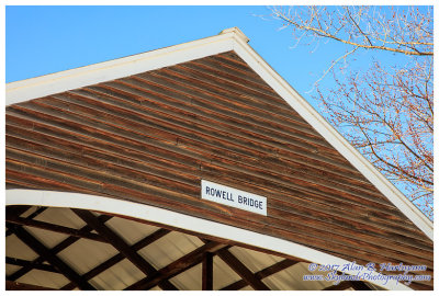
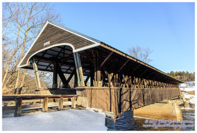
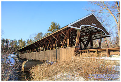
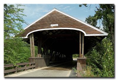
#8624 Rowell's Bridge, Hopkinton, 1853
CRW_8629L
CRW_8629L
CRW_8628L
CRW_8628L
CRW_0231
CRW_0231
CRW_0233
CRW_0233
CRW_0236
CRW_0236
CRW_0239
CRW_0239
SKY06253.jpg
SKY06253.jpg
SKY06263.jpg
SKY06263.jpg
SKY06234.jpg
SKY06234.jpg
SKY06243.jpg
SKY06243.jpg